North Kennedy River
- Saltwater
- Estuary
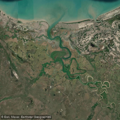
North Kennedy River
- Saltwater
- Estuary
- Sq. miles
- 91
- Boat Ramps
- 0
- Access Points
- 0
- Campsites
- 1
The North Kennedy River is a tidal estuary located within the remote Rinyirru (Lakefield) National Park (CYPAL) in Cook Shire, Queensland. It flows into the expansive Princess Charlotte Bay on the eastern coast of Cape York Peninsula. The river mouth is situated at approximately 14°29.676' south, 143°56.436' east. This is a coastal saltwater feature with a significant tidal influence, and paddlers must plan around these conditions. The overall region is characterized by vast, undeveloped landscapes. A key access point for paddlers is the Seven Mile camping area, which is managed by Queensland Parks and is adjacent to a large waterhole on the banks of the river. This site provides a potential launch point and basic camping facilities. Another referenced location is Hann Crossing, which suggests an inland river crossing point that may also serve as an access area. The estuary is known to support a population of estuarine crocodiles, which is a critical safety hazard requiring constant vigilance and adherence to local safety guidelines for crocodile country. The river's mouth is a destination for small powerboats, as indicated by social media posts of boaters fishing and crabbing there, so paddlers should be prepared for potential boat traffic, especially near the open bay. The surrounding national park contains significant Indigenous cultural sites, with historical records noting Bora ceremonies hosted by local groups along the river. Water quality in the North Kennedy River is part of a monitored region under Great Barrier Reef water quality improvement plans, though specific conditions for paddlers are not detailed. The paddling experience here is one of isolation and wilderness exposure, with minimal facilities beyond basic campgrounds, requiring thorough self-sufficiency, knowledge of crocodile safety, and careful tidal planning.
Water access, boat ramps & amenities
Learn how to get on North Kennedy River. Uncover great paddling access points, boat ramps, and all the facilities you need for an unforgettable day on the water. Some locations shown may border or include private property. Always check property boundaries and applicable regulations before visiting. PaddleWays's Public & Private Land layer can help you plan your access with confidence.
Paddle smarter with real-time insights
Whether you're en route and conditions shift or you're looking for the best spot based on current flows, we enable you to make informed decisions on the fly.







Queensland licenses and regulations

Find Places to Paddle

Over 400,000 Places to Paddle
Every user gets free access to launch points, boat ramps, and public property parcels.


Tides, wind & water conditions (10 day forecast)
On open water, wind and tide matter as much as the weather. See the best times to paddle North Kennedy River and check the marine forecast before you launch.
Loading tide predictions…
Paddling near North Kennedy River
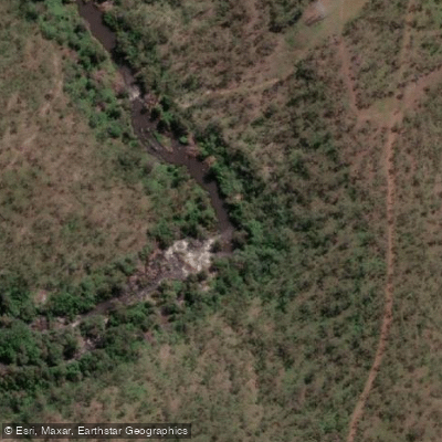
Barron River
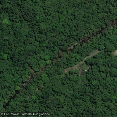
Freshwater Creek
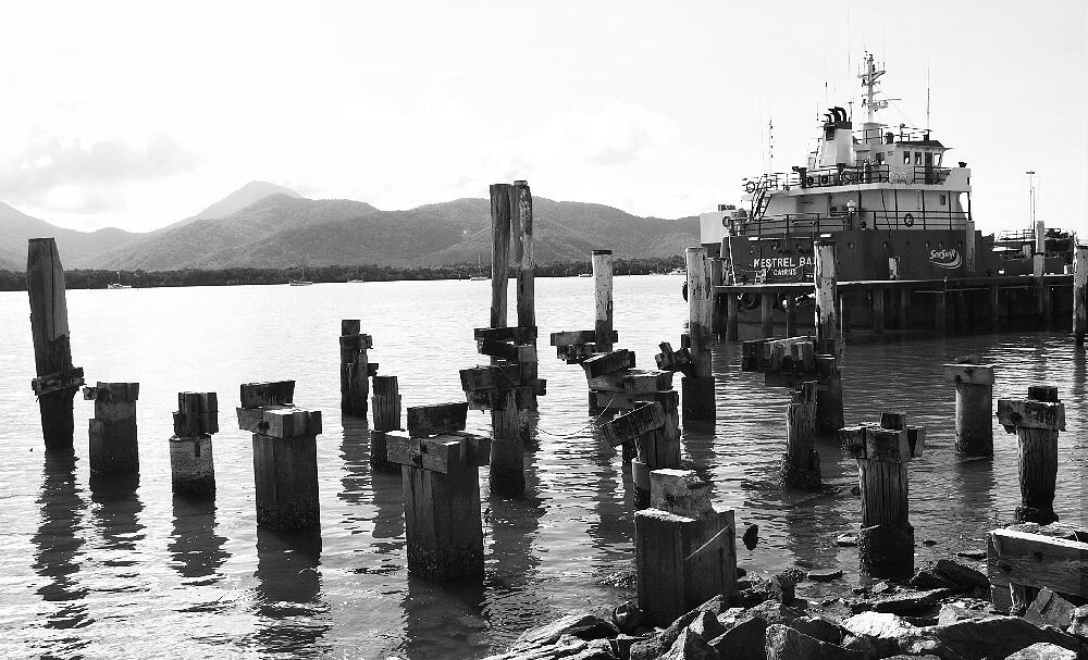
Trinity Inlet
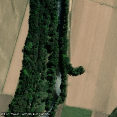
Mulgrave River
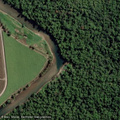
Russell River
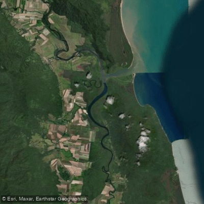
Mutchero Inlet/Russell Mulgrave
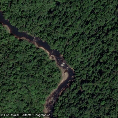
Johnstone River
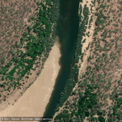
Mitchell River
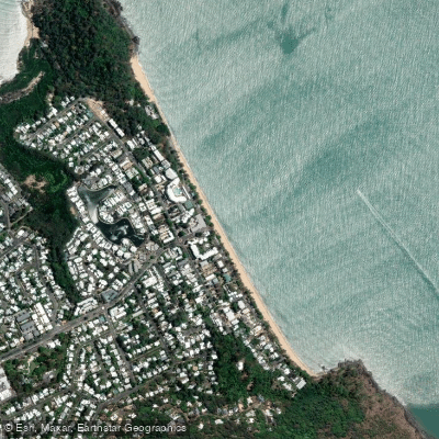
Trinity Beach
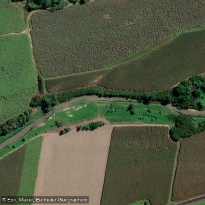
Babinda Creek
Explore Queensland waters
Top paddling waters
No waters available right now.
Popular Cities
Loading popular cities...
Explore near North Kennedy River

Smarter Paddling Starts in the App.
Paddleways gives you everything you need to plan smarter, paddle better, and own every trip from first launch to takeout.