Bloomfield River
- Saltwater
- Estuary
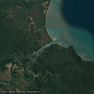
Bloomfield River
- Saltwater
- Estuary
- Sq. miles
- 1.6
- Boat Ramps
- 0
- Access Points
- 0
- Campsites
- 1
The Bloomfield River is a tidal river located in the Douglas Shire of far north Queensland, Australia. It flows through a remote tropical wilderness area, with its mouth situated near the Aboriginal community of Wujal Wujal, where the Bloomfield Track road ends. The river is subject to significant tidal influence, as evidenced by a story of a dog that spent two days swimming in the river with the tides going out and coming back in. The Bloomfield River is a coastal saltwater feature, an estuary where the rainforest meets the sea. For paddlers, the primary access point is near Wujal Wujal, where a sealed road provides access to the northern bank. A major crossing point for the Bloomfield Track is a tidal causeway just downstream of the river's thunderous falls, which could serve as a launch or take-out location, though conditions vary dramatically with the tide. The river's character is heavily influenced by the surrounding Daintree rainforest, one of the last bastions of remote tropical wilderness on Queensland's coast. Notable sights include the impressive Bloomfield Falls located upstream. Paddling here offers a scenic view of this pristine environment, but it is remote and conditions can change rapidly. The region experiences a distinct wet season with heavy monsoon rains that cause significant flooding, making the surrounding tracks impassable and the river conditions hazardous. The best season for any activity, including paddling, would be the dry season when river levels are more stable and the rough 4WD tracks providing access are open. A key safety consideration is the presence of saltwater crocodiles, as the river is in a known crocodile habitat in northern Queensland. There are no specific paddling restrictions, but the remoteness necessitates self-sufficiency. Facilities are minimal, with the nearest amenities likely found in the small communities of Wujal Wujal or Ayton further north.
Water access, boat ramps & amenities
Learn how to get on Bloomfield River. Uncover great paddling access points, boat ramps, and all the facilities you need for an unforgettable day on the water. Some locations shown may border or include private property. Always check property boundaries and applicable regulations before visiting. PaddleWays's Public & Private Land layer can help you plan your access with confidence.
Paddle smarter with real-time insights
Whether you're en route and conditions shift or you're looking for the best spot based on current flows, we enable you to make informed decisions on the fly.







Queensland licenses and regulations

Find Places to Paddle

Over 400,000 Places to Paddle
Every user gets free access to launch points, boat ramps, and public property parcels.


Tides, wind & water conditions (10 day forecast)
On open water, wind and tide matter as much as the weather. See the best times to paddle Bloomfield River and check the marine forecast before you launch.
Loading tide predictions…
Paddling near Bloomfield River
Barron River
Freshwater Creek
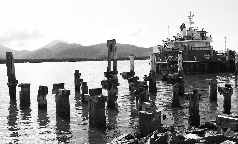
Trinity Inlet
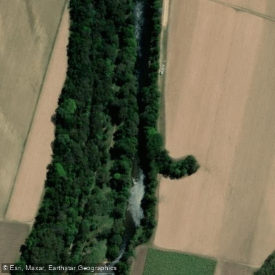
Mulgrave River
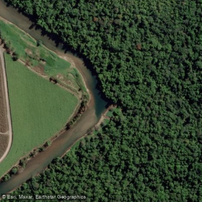
Russell River
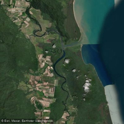
Mutchero Inlet/Russell Mulgrave
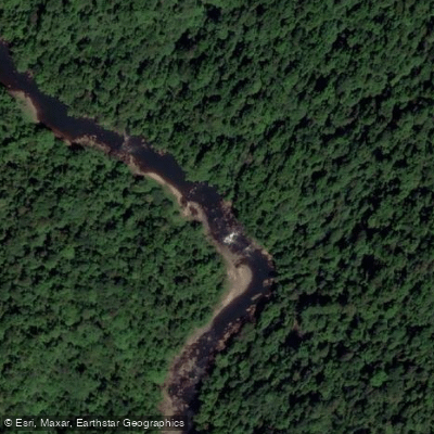
Johnstone River
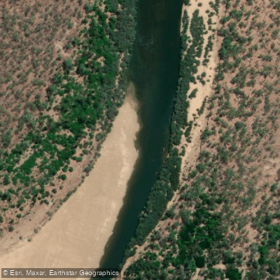
Mitchell River
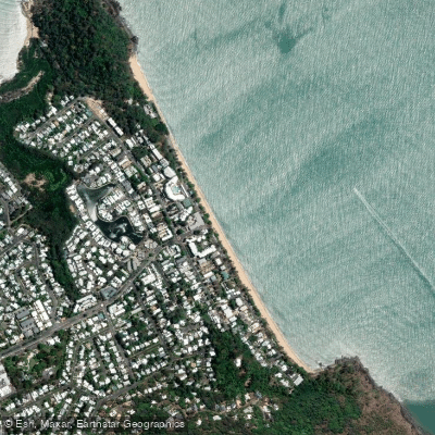
Trinity Beach
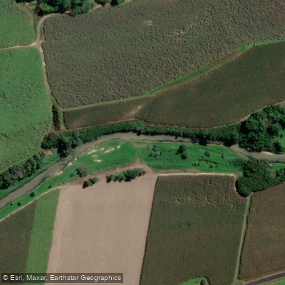
Babinda Creek
Explore Queensland waters
Top paddling waters
No waters available right now.
Popular Cities
Loading popular cities...
Explore near Bloomfield River

Smarter Paddling Starts in the App.
Paddleways gives you everything you need to plan smarter, paddle better, and own every trip from first launch to takeout.