Cooper Creek
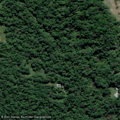
Cooper Creek
- Boat Ramps
- 0
- Access Points
- 0
- Campsites
- 0
Cooper Creek is Australia's second-longest inland river system, stretching approximately 1,420 kilometres from the western slopes of the Great Dividing Range through Queensland's channel country and into Lake Eyre. It is formed by the meeting of the Thomson and Barcoo rivers, making it unusual in that multiple rivers flow into it to form a creek rather than the reverse. The creek drains into Lake Eyre, a below-sea-level terminal lake, meaning its waters never reach the ocean. When in flood, the Cooper can spread up to 40 kilometres wide across the flat surrounding landscape.
The most accessible paddling area is around Innamincka in South Australia, within the Innamincka Regional Reserve and adjacent Malkumba-Coongie Lakes National Park. Coongie Lake, connected to the Cooper system, is also paddled in this region. The stretch between Nappa Merrie and Innamincka is considered relatively cohesive in terms of channel navigation, though the broader system contains a myriad of channels that can disorient paddlers.
Paddling the Cooper is fundamentally dependent on water availability. The creek is primarily ephemeral, flowing only after significant rainfall events, with mean annual precipitation of around 125 millimetres. In most years the creek holds only semi-permanent waterholes rather than a continuous flow. When conditions do allow paddling, the experience is that of a remote, flat, slow-moving waterway in arid desert country. The surrounding landscape supports remarkable wildlife, including abundant birdlife that migrates to the area during flood events, as well as freshwater turtles and fish species including golden perch, grunter, and catfish. Notably, the Cooper and its tributaries remain free of carp.
The remoteness of the area is a primary safety consideration. Emergency assistance is limited and can be significantly delayed. Paddlers must be prepared for floods, droughts, and extreme weather events. The area is subject to extreme heat and is one of the world's largest unregulated freshwater systems. Paddlers should be aware that the Cooper Creek waters are the traditional country of the Yandruwandha and Yawarrawarrka peoples, who co-manage the national park and regional reserve in partnership with the South Australian Department for Environment and Water. Significant cultural sites and artefacts throughout the area are protected, and visitors are asked to respect this.
Water access, boat ramps & amenities
Learn how to get on Cooper Creek. Uncover great paddling access points, boat ramps, and all the facilities you need for an unforgettable day on the water. Some locations shown may border or include private property. Always check property boundaries and applicable regulations before visiting. PaddleWays's Public & Private Land layer can help you plan your access with confidence.
Paddle smarter with real-time insights
Whether you're en route and conditions shift or you're looking for the best spot based on current flows, we enable you to make informed decisions on the fly.







Queensland licenses and regulations

Find Places to Paddle

Over 400,000 Places to Paddle
Every user gets free access to launch points, boat ramps, and public property parcels.


Water and weather conditions (10 day forecast)
See the best times to paddle Cooper Creek and check the forecast before you go.
No forecast data available.
Paddling near Cooper Creek
Barron River
Freshwater Creek
Trinity Inlet
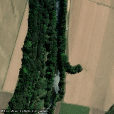
Mulgrave River
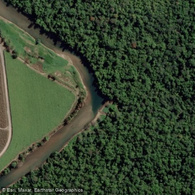
Russell River
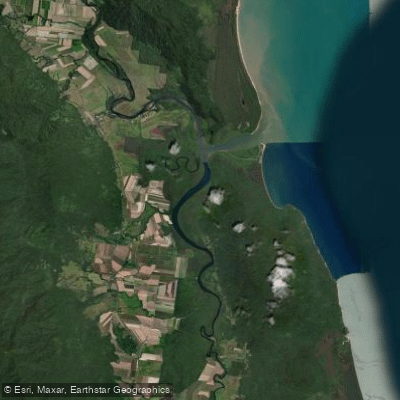
Mutchero Inlet/Russell Mulgrave
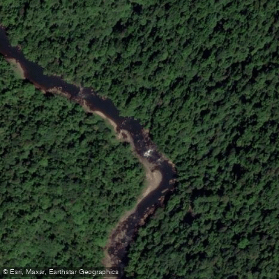
Johnstone River
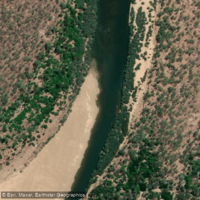
Mitchell River
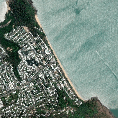
Trinity Beach
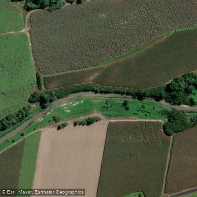
Babinda Creek
Explore Queensland waters
Top paddling waters
No waters available right now.
Popular Cities
Loading popular cities...
Explore near Cooper Creek

Smarter Paddling Starts in the App.
Paddleways gives you everything you need to plan smarter, paddle better, and own every trip from first launch to takeout.