Hull River
- Saltwater
- Estuary
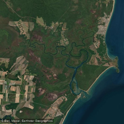
Hull River
- Saltwater
- Estuary
- Sq. miles
- 9.9
- Boat Ramps
- 0
- Access Points
- 0
- Campsites
- 0
The Hull River is a coastal estuary system in Queensland's Cassowary Coast region, flowing into the Coral Sea near Mission Beach. Paddlers have several specific access points via boat ramps managed by the local council, including the Hull River Boat Ramp on Jackey Jackey Street in South Mission Beach, the Carmoo boat ramp on Hull Drive on the South Hull River, and a ramp at Hull Heads. The Carmoo ramp is a state-owned recreational facility. The estuary mouth at Hull Heads features a pontoon accessible to tenders from vessels that cross the river bar, indicating a channel used by larger boats. This suggests paddlers must be alert for boat traffic, especially near the mouth and ramps. The area is exposed to the Coral Sea, and the riverbanks are subject to coastal hazard management, with plans to reinstate riparian vegetation. The Hull River flows through the Hull River National Park, a significant reserve of Wet Tropics World Heritage biodiversity featuring rainforest. The surrounding region offers access to pristine beaches and island adventures from nearby Mission Beach. The tidal nature of this saltwater estuary is a primary consideration; the Kennedy Bay walk notes that crossing to Lugger Beach may require rock hopping or getting wet at high tide, and one can continue along the beach to the Hull River, confirming the river's connection to tidal beaches. Paddlers must plan for tidal currents and the potential for a surf zone at the estuary mouth where it meets the open sea. The best time for paddling would align with favorable weather and tidal conditions, typical of tropical North Queensland.
Water access, boat ramps & amenities
Learn how to get on Hull River. Uncover great paddling access points, boat ramps, and all the facilities you need for an unforgettable day on the water. Some locations shown may border or include private property. Always check property boundaries and applicable regulations before visiting. PaddleWays's Public & Private Land layer can help you plan your access with confidence.
Paddle smarter with real-time insights
Whether you're en route and conditions shift or you're looking for the best spot based on current flows, we enable you to make informed decisions on the fly.







Queensland licenses and regulations

Find Places to Paddle

Over 400,000 Places to Paddle
Every user gets free access to launch points, boat ramps, and public property parcels.


Tides, wind & water conditions (10 day forecast)
On open water, wind and tide matter as much as the weather. See the best times to paddle Hull River and check the marine forecast before you launch.
Loading tide predictions…
Paddling near Hull River
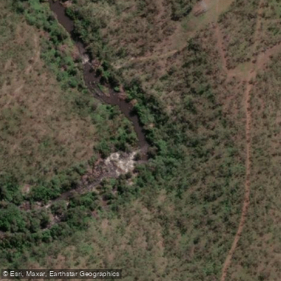
Barron River
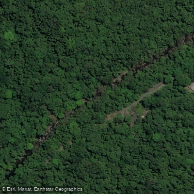
Freshwater Creek
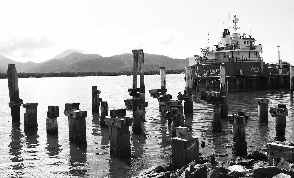
Trinity Inlet
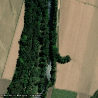
Mulgrave River
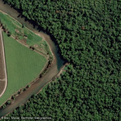
Russell River
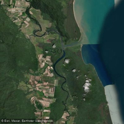
Mutchero Inlet/Russell Mulgrave
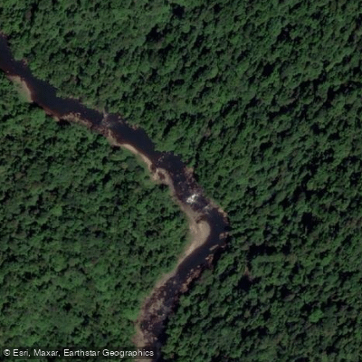
Johnstone River
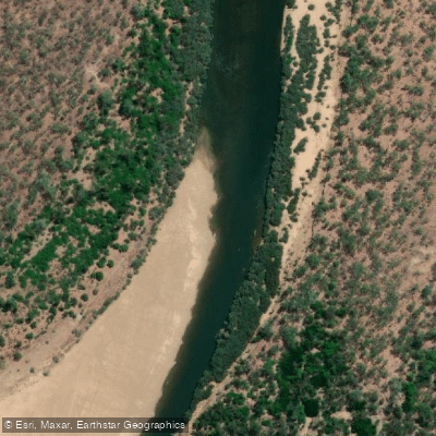
Mitchell River
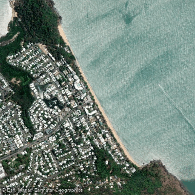
Trinity Beach
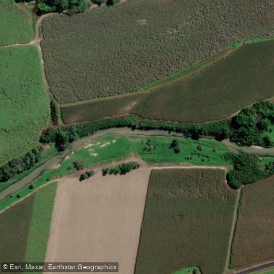
Babinda Creek
Explore Queensland waters
Top paddling waters
No waters available right now.
Popular Cities
Loading popular cities...
Explore near Hull River

Smarter Paddling Starts in the App.
Paddleways gives you everything you need to plan smarter, paddle better, and own every trip from first launch to takeout.