Kauri Creek
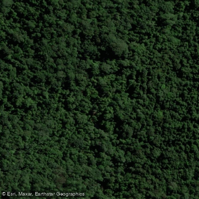
Kauri Creek
- Boat Ramps
- 0
- Access Points
- 0
- Campsites
- 1
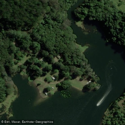
Kauri Creek is an inlet off Lake Tinaroo in Danbulla State Forest and National Park, located on the Atherton Tablelands in Queensland, approximately 29 kilometres northeast of Atherton and around 80–90 kilometres from Cairns. The creek flows into the lake through a rainforest corridor, with the canopy narrowing and bending inward over the water as the creek shallows toward its upper reaches, providing natural shade along the paddle.
Access is via Danbulla Road, a 28-kilometre partially sealed road through the park. The Kauri Creek camping area is situated 9 kilometres from the western entrance and 19 kilometres from the eastern entrance. A steep grassed slope leads to an unsealed boat ramp approximately 50 metres past the information board and toilets. The road is narrow and can be rough, and care is advised particularly for two-wheel-drive vehicles.
The paddling character is easy and unhurried, well suited to wildlife observation. Australian Wood Ducks, Masked Lapwings, and Intermediate Egrets have been recorded along the route. The creek can also be reached by paddling from other parts of Lake Tinaroo, with the option of mooring below the bridge at the Kauri Creek picnic area.
A significant hazard exists in the form of submerged tree stumps — remnants of the forest that existed before Lake Tinaroo was created by damming the Barron River in 1958. These underwater obstacles make the area unsuitable for water skiing or motorised watersports at speed, though they pose little risk to canoes and kayaks travelling slowly. Water levels in the creek are directly tied to lake levels, which fluctuate seasonally with rainfall. Later in the dry season, the upper reaches of the creek can become very shallow, potentially requiring paddlers to walk sections of the route.
Facilities at the camping area include toilets, BBQs, fire pits, and open grassed campsites suitable for tents and camper trailers. A 600-metre connecting track links the camping area to the Kauri Creek day-use area. The area holds cultural significance for the Tableland Yidinji Aboriginal people.
Water access, boat ramps & amenities
Learn how to get on Kauri Creek. Uncover great paddling access points, boat ramps, and all the facilities you need for an unforgettable day on the water. Some locations shown may border or include private property. Always check property boundaries and applicable regulations before visiting. PaddleWays's Public & Private Land layer can help you plan your access with confidence.
Paddle smarter with real-time insights
Whether you're en route and conditions shift or you're looking for the best spot based on current flows, we enable you to make informed decisions on the fly.







Queensland licenses and regulations

Find Places to Paddle

Over 400,000 Places to Paddle
Every user gets free access to launch points, boat ramps, and public property parcels.


Water and weather conditions (10 day forecast)
See the best times to paddle Kauri Creek and check the forecast before you go.
No forecast data available.
Paddling near Kauri Creek
Barron River
Freshwater Creek
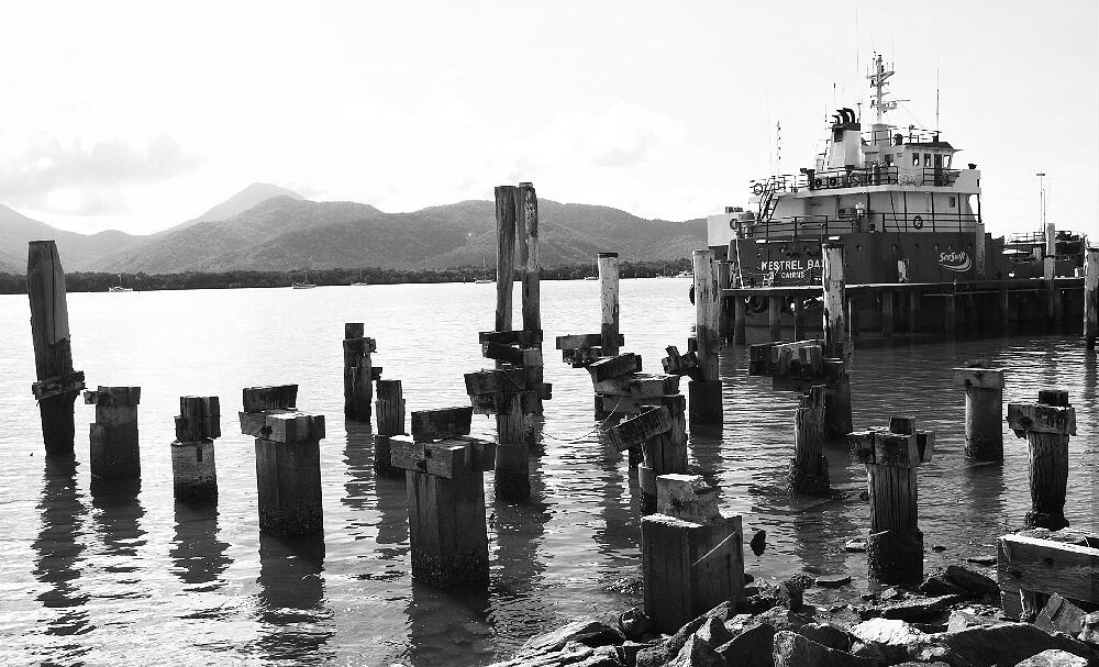
Trinity Inlet
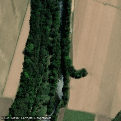
Mulgrave River
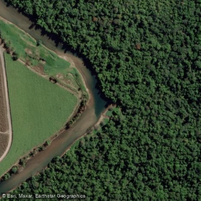
Russell River
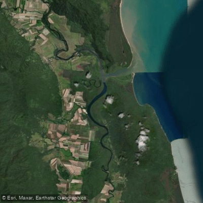
Mutchero Inlet/Russell Mulgrave
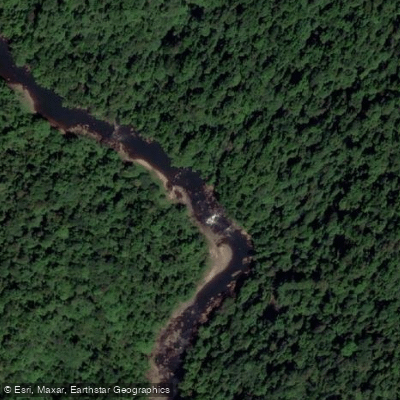
Johnstone River
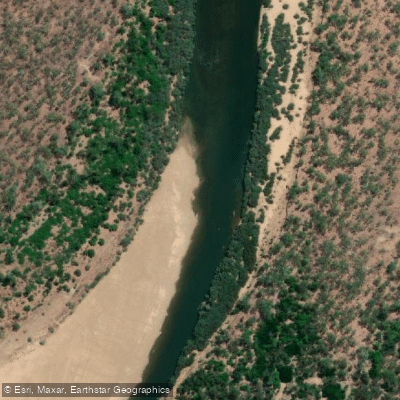
Mitchell River
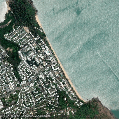
Trinity Beach
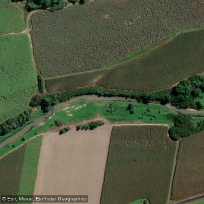
Babinda Creek
Explore Queensland waters
Top paddling waters
No waters available right now.
Popular Cities
Loading popular cities...
Explore near Kauri Creek

Smarter Paddling Starts in the App.
Paddleways gives you everything you need to plan smarter, paddle better, and own every trip from first launch to takeout.