Noah Creek
- Saltwater
- Estuary
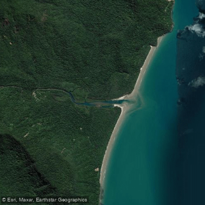
Noah Creek
- Saltwater
- Estuary
- Sq. miles
- 0.3
- Boat Ramps
- 0
- Access Points
- 0
- Campsites
- 1
Noah Creek is a coastal waterway in the Douglas Shire, flowing through the Daintree Rainforest to meet the Coral Sea near Cape Tribulation. The paddling experience is characterized by its location within the world's oldest tropical rainforest, offering a unique drift under a dense, cool canopy. The water is fresh and crystal-clear, providing a refreshing environment. The creek serves as a base for accessing kilometres of private rainforest trails that lead to hidden waterfalls. The overall character is one of immersion in a pristine, ancient natural setting where the rainforest meets the reef.
A major consideration for paddlers is the ongoing and planned construction for the Noah Creek Bridge replacement project. The existing bridge has significant load limits and was damaged by Tropical Cyclone Jasper in late 2023. Construction of a new, more resilient bridge is scheduled to begin in July 2026. During the construction phase, particularly from April 2026 onward, a temporary single-lane bypass will be built, and traffic management including signals and controlled crossings will be in place. This will likely affect vehicle access to launch points in the immediate bridge area, with potential for delays and restricted parking. For trip planning, it is critical to check the latest access status with Douglas Shire Council, especially regarding any temporary causeway use for heavy vehicles which requires prior appointment. The bridge is a critical link for the region, supporting local communities and tourism operations between Cape Tribulation and Wujal Wujal.
Water access, boat ramps & amenities
Learn how to get on Noah Creek. Uncover great paddling access points, boat ramps, and all the facilities you need for an unforgettable day on the water. Some locations shown may border or include private property. Always check property boundaries and applicable regulations before visiting. PaddleWays's Public & Private Land layer can help you plan your access with confidence.
Paddle smarter with real-time insights
Whether you're en route and conditions shift or you're looking for the best spot based on current flows, we enable you to make informed decisions on the fly.







Queensland licenses and regulations

Find Places to Paddle

Over 400,000 Places to Paddle
Every user gets free access to launch points, boat ramps, and public property parcels.


Tides, wind & water conditions (10 day forecast)
On open water, wind and tide matter as much as the weather. See the best times to paddle Noah Creek and check the marine forecast before you launch.
Loading tide predictions…
Paddling near Noah Creek
Barron River
Freshwater Creek
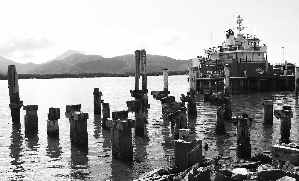
Trinity Inlet
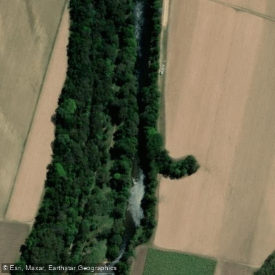
Mulgrave River
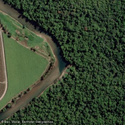
Russell River
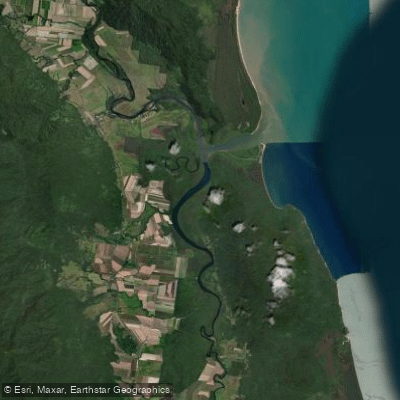
Mutchero Inlet/Russell Mulgrave
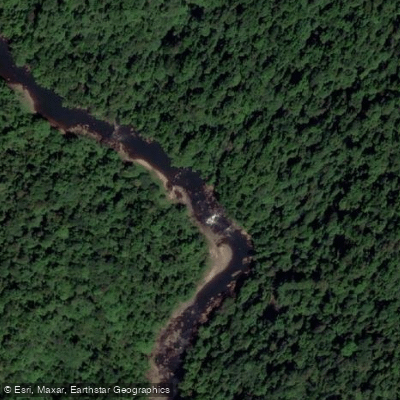
Johnstone River
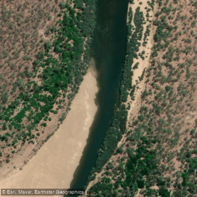
Mitchell River
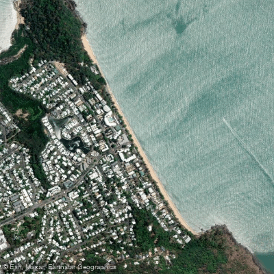
Trinity Beach
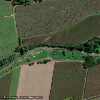
Babinda Creek
Explore Queensland waters
Top paddling waters
No waters available right now.
Popular Cities
Loading popular cities...
Explore near Noah Creek

Smarter Paddling Starts in the App.
Paddleways gives you everything you need to plan smarter, paddle better, and own every trip from first launch to takeout.