Theresa Creek
Theresa Creek
- Boat Ramps
- 0
- Access Points
- 0
- Campsites
- 0
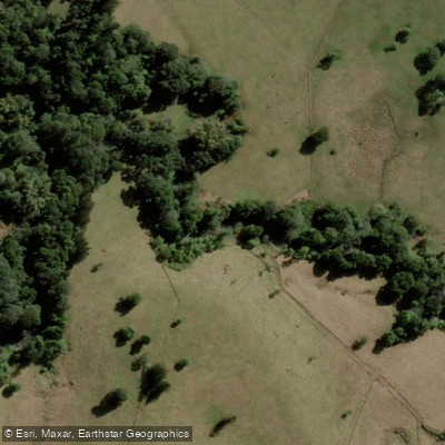
Theresa Creek Dam, known locally as Lake Theresa, is a gravity and earth-filled embankment dam situated 22 kilometres southwest of Clermont in Central Queensland, Australia. The reservoir holds 9,200 megalitres at full supply level and covers an inundation area of approximately 250 hectares, drawing from a catchment area of around 838 square kilometres. The dam was completed in 1983 and is operated by Isaac Regional Council primarily as a potable water supply for Clermont.
Canoeing, kayaking, and stand-up paddleboarding are all popular activities on the reservoir. Two concrete boat ramps provide water access, with bitumen road access all the way to the ramps, making launching straightforward for a range of vessel types. There are no restrictions on boating activities for paddlers specifically, though fishing requires a Stocked Impoundment Permit (SIP) for most species; no permit is needed for red claw crayfish, though catch limits apply.
The campground at the dam offers toilets, hot showers, fire pits, barbecues, a children's playground, picnic tables with shaded areas, and a dump point for grey water disposal. Camping is available for a small nightly fee with no advance booking required — visitors check in at an on-site kiosk. Pets are welcome, and the site can accommodate caravans and larger rigs. It is advisable to bring your own drinking water.
The reservoir supports populations of barramundi, golden perch, silver perch, sleepy cod, eel-tailed catfish, bony bream, jewfish, and red claw crayfish, making wildlife encounters on the water a reasonable expectation. The surrounding landscape is outback Queensland bushland. The dam does not function as a flood mitigation structure due to its limited storage volume and uncontrolled spillway design, which is a relevant consideration for paddlers during periods of heavy rainfall when spillway overflow can occur.
Water access, boat ramps & amenities
Learn how to get on Theresa Creek. Uncover great paddling access points, boat ramps, and all the facilities you need for an unforgettable day on the water. Some locations shown may border or include private property. Always check property boundaries and applicable regulations before visiting. PaddleWays's Public & Private Land layer can help you plan your access with confidence.
Paddle smarter with real-time insights
Whether you're en route and conditions shift or you're looking for the best spot based on current flows, we enable you to make informed decisions on the fly.







Queensland licenses and regulations

Find Places to Paddle

Over 400,000 Places to Paddle
Every user gets free access to launch points, boat ramps, and public property parcels.


Water and weather conditions (10 day forecast)
See the best times to paddle Theresa Creek and check the forecast before you go.
No forecast data available.
Paddling near Theresa Creek
Barron River
Freshwater Creek
Trinity Inlet
Mulgrave River
Russell River
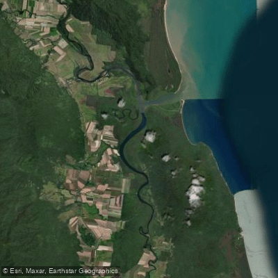
Mutchero Inlet/Russell Mulgrave
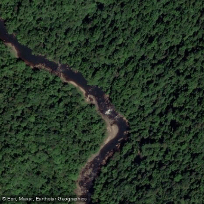
Johnstone River
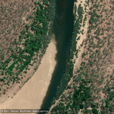
Mitchell River
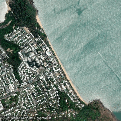
Trinity Beach
Babinda Creek
Explore Queensland waters
Top paddling waters
No waters available right now.
Popular Cities
Loading popular cities...
Explore near Theresa Creek

Smarter Paddling Starts in the App.
Paddleways gives you everything you need to plan smarter, paddle better, and own every trip from first launch to takeout.