Warrego River
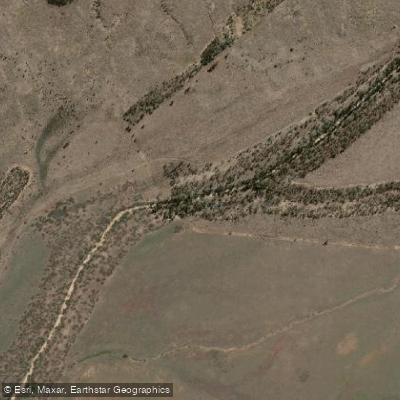
Warrego River
- Boat Ramps
- 1
- Access Points
- 1
- Campsites
- 3
The Warrego River flows through the semi-arid outback of Queensland, with its source in the Carnarvon Range. Approximately 80% of the Warrego catchment lies in Queensland, with the remainder extending into New South Wales. The river traverses flat, sparsely populated plains where extensive grazing is the predominant land use. The name "Warrego" derives from an Aboriginal word meaning "river of sand," a reference to the river's intermittent nature and the sandy character of its channel. The town of Cunnamulla sits on the eastern bank and serves as the primary base for paddling on the river.
The stretch near Cunnamulla is the most accessible paddling area, with the Allan Tannock Weir creating a reliable long stretch of water behind it. Guided kayak tours depart from Cunnamulla at 8:00 am daily, run by operators accredited with Australian Canoeing. Tours are conducted at a relaxed pace and are described as suitable for paddlers aged 5 to 80, with no prior experience required. Children under 16 must be accompanied by an adult. All kayaking and safety equipment is provided, along with a pre-departure safety briefing.
The river's character near Cunnamulla involves a web of channels interspersed with sandy islands, passing through heavily timbered areas and what is described as a "lost forest." The waterholes along the southern Queensland section of the river cover approximately 500 hectares and are flooded seasonally in most years, providing habitat for species including Murray cod and silver perch — the Warrego being one of the only places in the Murray-Darling Basin where silver perch breed naturally.
Wildlife is a notable feature of paddling this river. The Cooper Creek turtle, one of the largest side-necked turtles in Australia, is resident here and can often be spotted basking on submerged logs. Significant waterbird populations are also present, particularly during periods of high flow. The river and its waterholes hold considerable cultural significance for local Aboriginal communities and feature in Dreamtime stories and ceremonies. The waterholes are recognized as First Nations cultural sites, and the broader catchment includes nationally important wetlands such as Yantabulla Swamp, which supports important waterbird breeding activity.
Water access, boat ramps & amenities
Learn how to get on Warrego River. Uncover great paddling access points, boat ramps, and all the facilities you need for an unforgettable day on the water. Some locations shown may border or include private property. Always check property boundaries and applicable regulations before visiting. PaddleWays's Public & Private Land layer can help you plan your access with confidence.
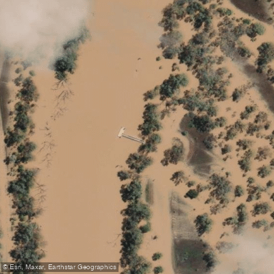
Paddle smarter with real-time insights
Whether you're en route and conditions shift or you're looking for the best spot based on current flows, we enable you to make informed decisions on the fly.







Queensland licenses and regulations

Find Places to Paddle

Over 400,000 Places to Paddle
Every user gets free access to launch points, boat ramps, and public property parcels.


Water and weather conditions (10 day forecast)
See the best times to paddle Warrego River and check the forecast before you go.
Warrego River At Barringun N0. 2
All Flow Stations
Paddling near Warrego River
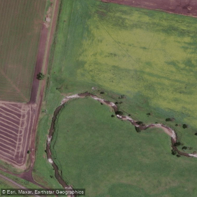
Gowrie Creek
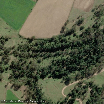
Cressbrook Creek
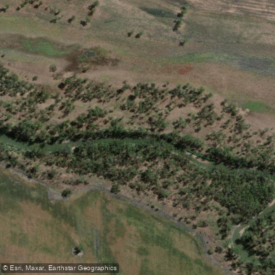
Condamine River
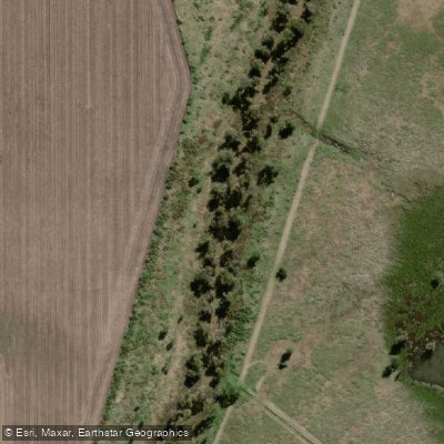
Oakey Creek
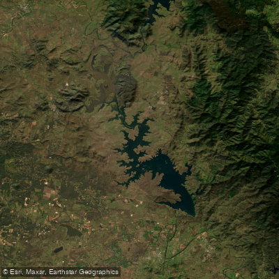
Lake Wivenhoe
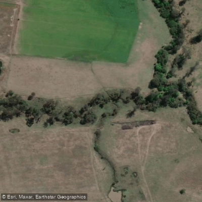
Bremer River
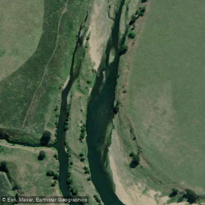
Brisbane River
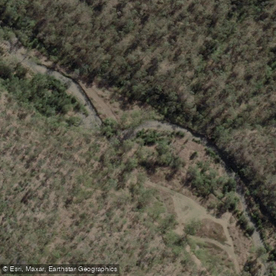
Dry Creek

Cooby Creek
Heifer Creek
Explore Queensland waters
Top paddling waters
No waters available right now.
Popular Cities
Loading popular cities...
Explore near Warrego River
Access points
Nearby waters
More in Queensland

Smarter Paddling Starts in the App.
Paddleways gives you everything you need to plan smarter, paddle better, and own every trip from first launch to takeout.