Gawler River
- Saltwater
- Estuary
Gawler River
- Saltwater
- Estuary
- Sq. miles
- 3
- Boat Ramps
- 1
- Access Points
- 0
- Campsites
- 0
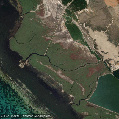
The Gawler River is a coastal waterway flowing through the Adelaide Plains district, specifically within the Adelaide International Bird Sanctuary National Park. This national park setting defines the paddling experience, offering a route through a protected bird habitat. The river is suitable for kayak or paddle exploration, presenting an alternative to walking. A specific paddling trail exists along the river within the sanctuary, noted as a lovely little paddle not far north from Adelaide. The overall character is one of a flatwater, estuarine environment within a coastal conservation area. The river's flow and connection to the sea are significant, as management discussions focus on its path straight out to the sea and the speed of water moving through, indicating it is a tidal estuary subject to marine influences. This also implies that paddlers must consider tidal currents and timing when planning trips, as the water movement contributes to flooding dynamics in the area. The surrounding region is part of the Gawler River Floodplains, and the waterway is managed by a specific floodplain authority, highlighting that water levels and access can be influenced by flood management protocols. The setting within a national park suggests facilities may be basic and focused on conservation. Paddlers should be prepared for potential birdlife sightings consistent with a sanctuary and should check for any park-specific regulations regarding water access before visiting.
Water access, boat ramps & amenities
Learn how to get on Gawler River. Uncover great paddling access points, boat ramps, and all the facilities you need for an unforgettable day on the water. Some locations shown may border or include private property. Always check property boundaries and applicable regulations before visiting. PaddleWays's Public & Private Land layer can help you plan your access with confidence.
Paddle smarter with real-time insights
Whether you're en route and conditions shift or you're looking for the best spot based on current flows, we enable you to make informed decisions on the fly.







South Australia licenses and regulations

Find Places to Paddle

Over 400,000 Places to Paddle
Every user gets free access to launch points, boat ramps, and public property parcels.


Tides, wind & water conditions (10 day forecast)
On open water, wind and tide matter as much as the weather. See the best times to paddle Gawler River and check the marine forecast before you launch.
Loading tide predictions…
Paddling near Gawler River
Port River
Onkaparinga River
South Para River
River Torrens
Light River Delta
Salt Creek
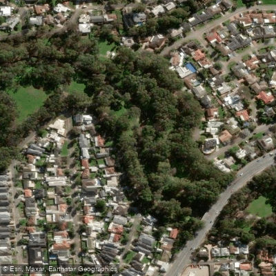
Karrawirra Parri (River Torrens)
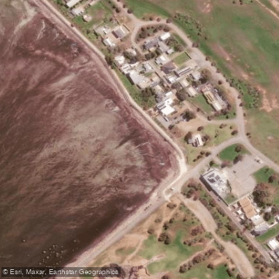
St Kilda Beach

Murray River
Explore South Australia waters
Top paddling waters
No waters available right now.
Popular Cities
Loading popular cities...
Explore near Gawler River
Access points
Nearby waters
More in South Australia

Smarter Paddling Starts in the App.
Paddleways gives you everything you need to plan smarter, paddle better, and own every trip from first launch to takeout.