Port River
Port River
- Boat Ramps
- 6
- Access Points
- 1
- Campsites
- 0
The Port River, officially known as the Port Adelaide River, is a tidal estuary located north of the Adelaide city centre in South Australia, approximately 20 minutes from the CBD. It forms the western branch of the largest tidal estuary on the eastern side of Gulf St Vincent, extending inland through the historic Inner Harbour of Port Adelaide. The river flows between the Lefevre Peninsula and the Section Banks and Torrens Island, forming the sea entrance to Adelaide's port facilities.
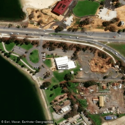
Two primary launch points serve paddlers. Cruickshank's Beach, accessed from the eastern end of Semaphore Road, offers a sandy beach launch with extensive car parking and nearby public toilets, restaurants, and shopping. The Garden Island Boat Ramp provides access to the northern sections of the estuary, including the mangrove channels and the Ships' Graveyard area.
The paddling character is rated easy to moderate on flat water, though conditions can change with wind and tides. A critical safety consideration is the active commercial shipping traffic — paddlers must keep clear of and give way to large vessels at all times. Checking wind and tidal conditions before departure is strongly advised.
From Cruickshank's Beach, paddlers can head south into the working inner harbour, passing Fisherman's Wharf, Hart's Mill, and the historic clipper ship City of Adelaide. Heading approximately 4 kilometres north brings paddlers to Mutton Cove Conservation Park, where walking tracks lead to the Excelsior shipwreck. Crossing the harbour to the North Arm leads to the Ships' Graveyard Maritime Heritage Trail, where the iron-hulled Santiago and the wooden schooner Dorothy H. Sterling are among the most prominent wrecks, roughly 3 kilometres from Cruickshank's Beach.
From the Garden Island Boat Ramp, paddlers can explore a 10,000-year-old mangrove forest via winding tidal channels — a section locally known as "Little Amazon," best accessed at high tide. The entire area falls within the Adelaide Dolphin Sanctuary, home to a resident pod of wild bottlenose dolphins that frequently approach kayaks. The Adelaide International Bird Sanctuary also shares the northern coastal habitat, making the area of interest to birdwatchers.
Before European settlement, the region was known as Yerta Bulti by the Kaurna people and was used extensively as a food source and for gathering plant materials. Guided kayak tours with marine biologist-led operators are available for those who prefer not to paddle independently.
Water access, boat ramps & amenities
Learn how to get on Port River. Uncover great paddling access points, boat ramps, and all the facilities you need for an unforgettable day on the water. Some locations shown may border or include private property. Always check property boundaries and applicable regulations before visiting. PaddleWays's Public & Private Land layer can help you plan your access with confidence.
Paddle smarter with real-time insights
Whether you're en route and conditions shift or you're looking for the best spot based on current flows, we enable you to make informed decisions on the fly.







South Australia licenses and regulations

Find Places to Paddle

Over 400,000 Places to Paddle
Every user gets free access to launch points, boat ramps, and public property parcels.


Water and weather conditions (10 day forecast)
See the best times to paddle Port River and check the forecast before you go.
No forecast data available.
Paddling near Port River
Onkaparinga River
Henley Beach
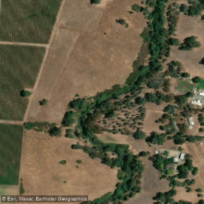
River Torrens
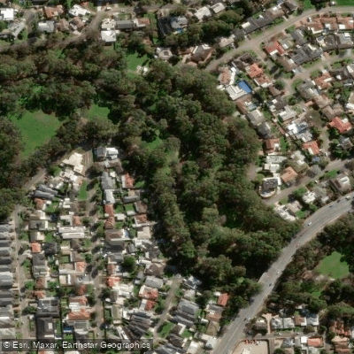
Karrawirra Parri (River Torrens)
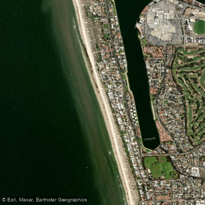
Tennyson Beach

Murray River
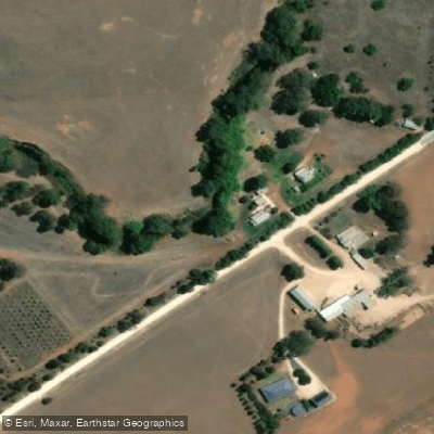
Bremer River
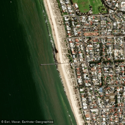
Grange Beach
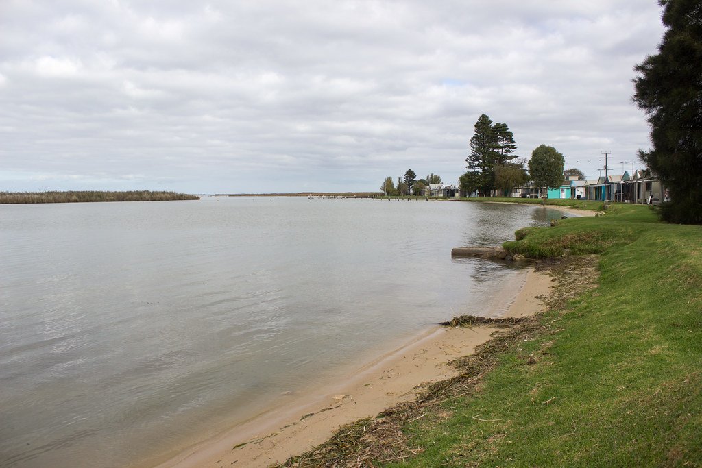
Lake Alexandrina
Explore South Australia waters
Top paddling waters
No waters available right now.
Popular Cities
Loading popular cities...
Explore near Port River
Access points
Nearby waters
More in South Australia

Smarter Paddling Starts in the App.
Paddleways gives you everything you need to plan smarter, paddle better, and own every trip from first launch to takeout.