River Torrens
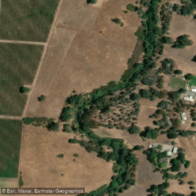
River Torrens
- Boat Ramps
- 0
- Access Points
- 0
- Campsites
- 2
The River Torrens flows through Adelaide, South Australia, running approximately 35 kilometres from Athelstone, where it emerges from the Adelaide Hills, through the city centre, and out to its mouth at West Beach and Henley Beach on the coast. The most popular paddling section is Torrens Lake, the stretch of river between the weir and Frome Street bridge, which is managed by the City of Adelaide. This impounded section offers calm, flat water with the Adelaide city skyline, parklands, and landmarks such as the Adelaide Oval, Sky City casino, and the Riverbank Precinct Pedestrian Bridge as backdrop. The Popeye tourist ferries also operate on this section between Elder Park and the Adelaide Zoo, so paddlers share the water with these vessels.
Recreational kayaking and canoeing are permitted on Torrens Lake, though paddlers must observe all signage and are prohibited from accessing the lake or river when it has been officially closed. Swimming, water skiing, and activities involving primary body contact with the water are not permitted due to water quality concerns. The lower river, particularly the lake, is subject to algal blooms and elevated E. coli bacteria levels, especially in spring and summer, which is an important consideration for paddlers who may capsize or come into contact with the water. Closures are clearly signed around the course of the river.
Commercial operators run guided kayak tours along the river, and several hire companies operate along the riverbanks, making equipment access straightforward for visitors. Organisations wishing to conduct group or commercial paddling activities must obtain a River Torrens Activity Licence from the City of Adelaide, with applicable fees depending on the type of activity. Public liability insurance covering marine risks to a minimum of twenty million dollars is required for licensed operators.
Beyond the city centre, the lower reaches of the river approaching the coast pass through more natural environments, offering opportunities for birdwatching and exploring surrounding wetlands. The river corridor is lined with River Red Gums and reed beds throughout much of its length. The overall character of paddling on the Torrens is predominantly urban and accessible, with the lake section particularly suited to leisurely, flat-water paddling rather than technical or expedition-style trips.
Water access, boat ramps & amenities
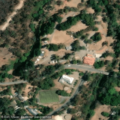
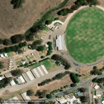
Learn how to get on River Torrens. Uncover great paddling access points, boat ramps, and all the facilities you need for an unforgettable day on the water. Some locations shown may border or include private property. Always check property boundaries and applicable regulations before visiting. PaddleWays's Public & Private Land layer can help you plan your access with confidence.
Paddle smarter with real-time insights
Whether you're en route and conditions shift or you're looking for the best spot based on current flows, we enable you to make informed decisions on the fly.







South Australia licenses and regulations

Find Places to Paddle

Over 400,000 Places to Paddle
Every user gets free access to launch points, boat ramps, and public property parcels.


Water and weather conditions (10 day forecast)
See the best times to paddle River Torrens and check the forecast before you go.
Torrens River @ Gumeracha Weir
All Flow Stations
Paddling near River Torrens
Onkaparinga River
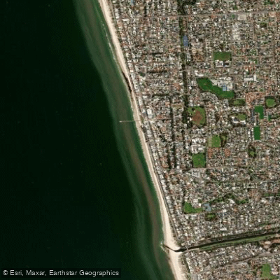
Henley Beach
Port River
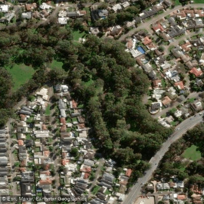
Karrawirra Parri (River Torrens)
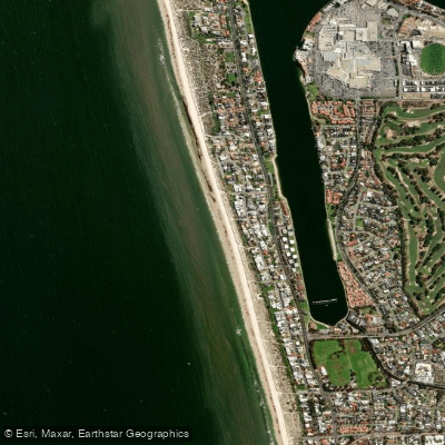
Tennyson Beach

Murray River
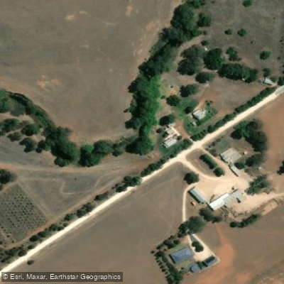
Bremer River
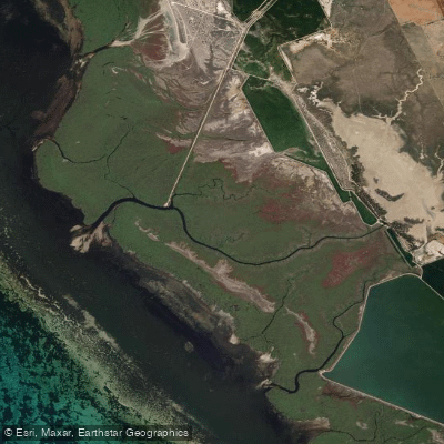
Gawler River
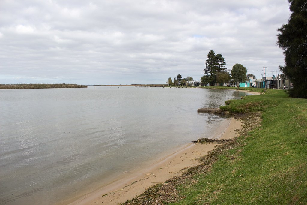
Lake Alexandrina
Explore South Australia waters
Top paddling waters
No waters available right now.
Popular Cities
Loading popular cities...
Explore near River Torrens

Smarter Paddling Starts in the App.
Paddleways gives you everything you need to plan smarter, paddle better, and own every trip from first launch to takeout.