Onkaparinga River
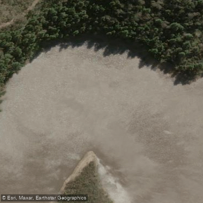
Onkaparinga River
- Boat Ramps
- 0
- Access Points
- 0
- Campsites
- 1
The Onkaparinga River is a tidal estuary located approximately 35 kilometres south of Adelaide in South Australia, flowing through the Onkaparinga River National and Recreation Parks before reaching the sea near Port Noarlunga. Because the river is tidal, water levels and flow vary with the tides rather than rainfall alone, and at low tide numerous sandbars are exposed, making sections shallow and muddy. Paddlers should always check wind and tidal information before departing.
There are several access points along the river. The River Road Park launch (GPS: 35.1530 S, 138.4892 E) is reached via Patapinda Road off Main South Road, then left onto River Road for approximately 1.5 kilometres into the Onkaparinga Recreation Park. From this point it is approximately 2 kilometres upstream to the historic township of Old Noarlunga, passing under the Main South Road bridge; the river becomes unnavigable shortly after Old Noarlunga, where walking trails continue up the gorge. Downstream from River Road Park, it is approximately 5 to 5.6 kilometres to the river mouth. The Recreation Park main entrance at Perry's Bend features a dedicated kayak and canoe launch with steps and a ramp. The Wearing Street launch site is 1.6 kilometres from the river mouth and is adjacent to the Onkaparinga Canoe Club clubrooms.
The paddle can be tackled from either direction, with the choice of direction tailored to tidal flow and the skill level of participants. The section between Main South Road and Commercial Road offers calm flatwater conditions well suited to beginners. Inexperienced paddlers should exercise care around bridge pontoons during periods of high water flow, particularly when the tide is receding, to avoid capsize. The river mouth with an outgoing tide is noted as a suitable location to practise moving water skills.
The river passes through the Encounter Marine Park, which includes a sanctuary zone around Port Noarlunga, the Noarlunga Reef, and a wetland section of the river. Within the sanctuary zone, fishing and removal of plants or animals are prohibited, though recreational boating is permitted. At high tide, paddlers can explore backwater areas within this wetland section. The river corridor supports abundant birdlife including pelicans and herons, and the route passes through floodplains, wetlands, and a gorge with cliffs. Cafes and restaurants are available a short drive away in Port Noarlunga.
Water access, boat ramps & amenities
Learn how to get on Onkaparinga River. Uncover great paddling access points, boat ramps, and all the facilities you need for an unforgettable day on the water. Some locations shown may border or include private property. Always check property boundaries and applicable regulations before visiting. PaddleWays's Public & Private Land layer can help you plan your access with confidence.
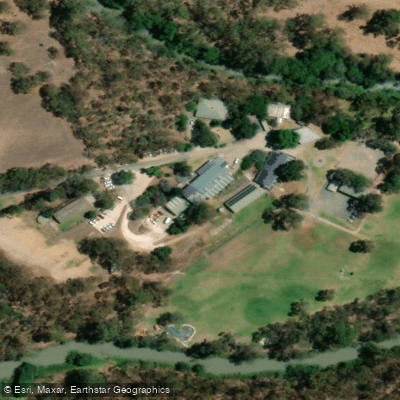
Paddle smarter with real-time insights
Whether you're en route and conditions shift or you're looking for the best spot based on current flows, we enable you to make informed decisions on the fly.







South Australia licenses and regulations

Find Places to Paddle

Over 400,000 Places to Paddle
Every user gets free access to launch points, boat ramps, and public property parcels.


Water and weather conditions (10 day forecast)
See the best times to paddle Onkaparinga River and check the forecast before you go.
Baker Gully 4.5Km Wnw Kangarilla
All Flow Stations
Paddling near Onkaparinga River
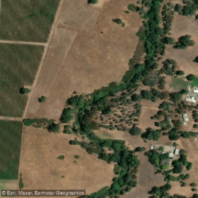
River Torrens
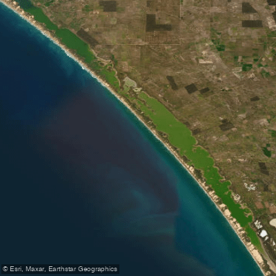
The Coorong and Lower Lakes

Murray River
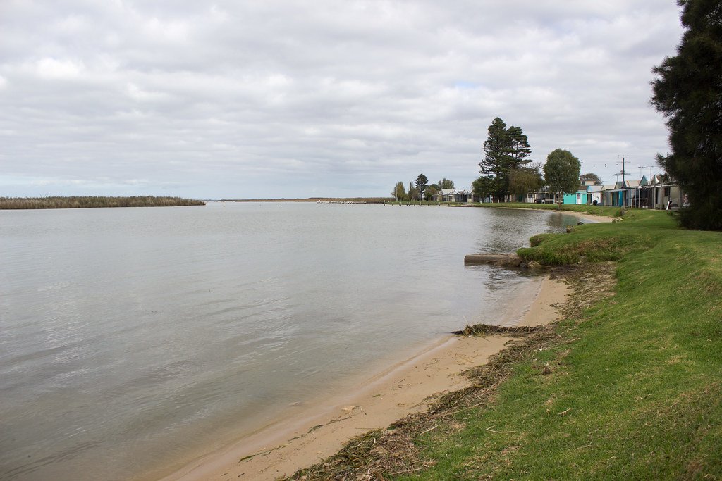
Lake Alexandrina
Maslin Beach
Bremer River
Port River
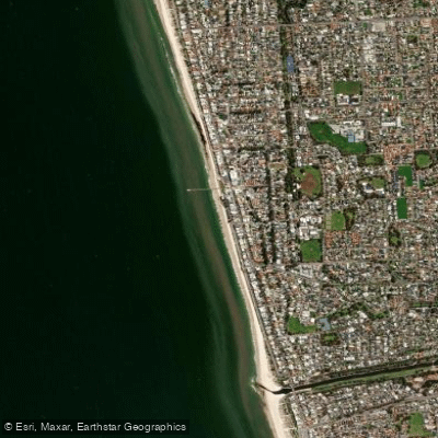
Henley Beach
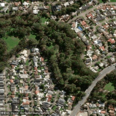
Karrawirra Parri (River Torrens)
Explore South Australia waters
Top paddling waters
No waters available right now.
Popular Cities
Loading popular cities...
Explore near Onkaparinga River
Access points
Nearby waters
More in South Australia

Smarter Paddling Starts in the App.
Paddleways gives you everything you need to plan smarter, paddle better, and own every trip from first launch to takeout.