Lake Alexandrina
Lake Alexandrina
- Boat Ramps
- 4
- Access Points
- 0
- Campsites
- 3
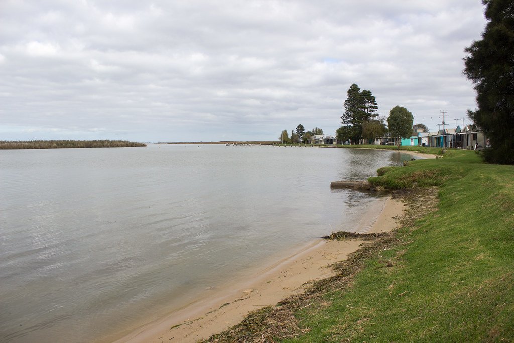
Lake Alexandrina is a large, shallow lake in South Australia, located approximately 102 km from Adelaide near the town of Wellington. Together with the contiguous Lake Albert and the Coorong lagoon, it forms the mouth of the Murray River — the terminus of one of the world's longest navigable waterways. The lake was named by explorer Charles Sturt in 1830 after Princess Alexandrina, who later became Queen Victoria. Its depths range from approximately 1.5 to 4.5 metres, and this shallow character is central to understanding the paddling experience here.
The shallow depth means that winds can rapidly generate steep, dangerous wave conditions. Paddlers with experience on the lake strongly recommend waiting for winds of 10 km/h or less, and consider 20 km/h already too strong due to the waves that can build across open water. Conditions can change quickly, so checking the Bureau of Meteorology forecast before setting out is essential. Because of this, paddlers crossing the lake should carry extra food and water in case they need to wait several days for suitable conditions.
Under South Australian regulations, Lakes Alexandrina and Albert are classified as semi-protected waters rather than standard inland protected waters. This means more stringent safety equipment requirements apply: paddlers must wear an approved lifejacket (Level 100 or higher, Level 50, or Level 50S) at all times, carry a bailer, a waterproof buoyant torch for use between sunset and sunrise, at least one litre of fresh water, a spare paddle, a V-sheet, a tow line of at least 15 metres, a registered 406MHz EPIRB, and a liquid-damped magnetic compass fixed to the vessel.
A popular paddling route begins at the Wellington ferry crossing and travels south down the Murray River into Lake Alexandrina, continuing to Point Pomond (Pomanda Point) on the western shore — a loop of approximately 26 km taking 6 to 8 hours or a full day. White sandy beaches near Pomanda Island offer rest stops along the way. On the return leg, paddlers should keep to the eastern shore of the lake to avoid missing the entrance back into the Murray River. Note that Point Pomond is private property and camping is not permitted there.
For those crossing the lake as part of a longer Murray River journey, the southern and eastern route with an overnight stop at Narrung camping reserve is considered the safest option, as it minimises long open-water crossings.
Water access, boat ramps & amenities
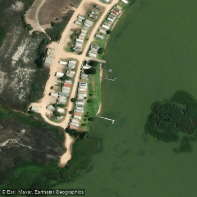
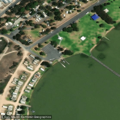
Learn how to get on Lake Alexandrina. Uncover great paddling access points, boat ramps, and all the facilities you need for an unforgettable day on the water. Some locations shown may border or include private property. Always check property boundaries and applicable regulations before visiting. PaddleWays's Public & Private Land layer can help you plan your access with confidence.
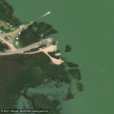
Paddle smarter with real-time insights
Whether you're en route and conditions shift or you're looking for the best spot based on current flows, we enable you to make informed decisions on the fly.







South Australia licenses and regulations

Find Places to Paddle

Over 400,000 Places to Paddle
Every user gets free access to launch points, boat ramps, and public property parcels.


Water and weather conditions (10 day forecast)
See the best times to paddle Lake Alexandrina and check the forecast before you go.
Lake Alexandrina At Tauwitchere Barrage
All Flow Stations
Paddling near Lake Alexandrina

Murray River
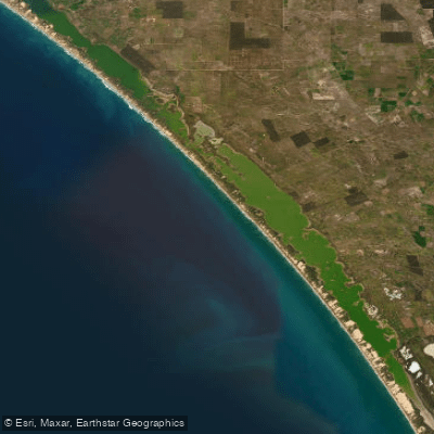
The Coorong and Lower Lakes
Onkaparinga River
Bremer River
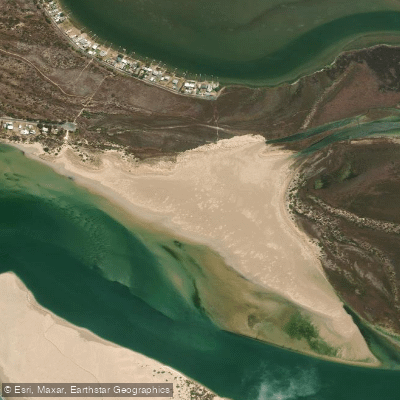
Sugars Beach
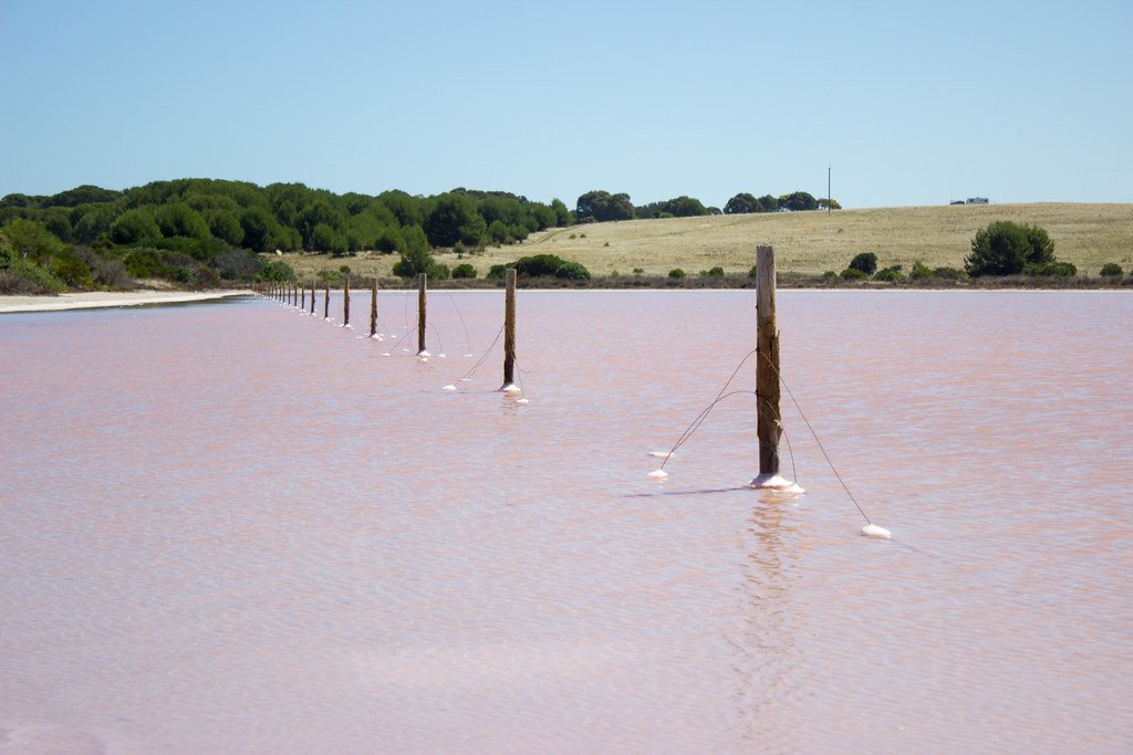
The Coorong
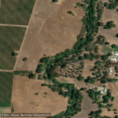
River Torrens
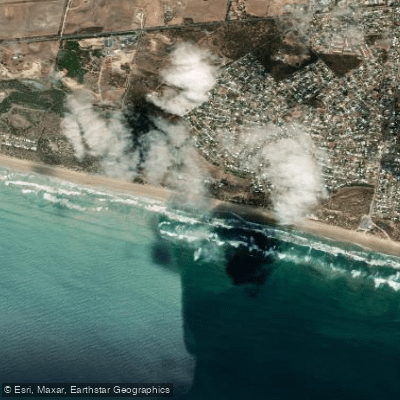
Goolwa Beach
Salt Creek
Explore South Australia waters
Top paddling waters
No waters available right now.
Popular Cities
Loading popular cities...
Explore near Lake Alexandrina
Access points
Nearby waters
More in South Australia

Smarter Paddling Starts in the App.
Paddleways gives you everything you need to plan smarter, paddle better, and own every trip from first launch to takeout.