Lake Murchison
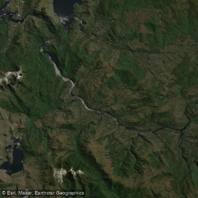
Lake Murchison
- Boat Ramps
- 0
- Access Points
- 0
- Campsites
- 0
Lake Murchison is a hydroelectric reservoir in western Tasmania, created by the Murchison Dam — a concrete-faced rock-filled embankment dam completed in 1982 by the Hydro-Electric Commission. The reservoir impounds the Murchison River and is also fed by George Creek, the Anthony River, and discharge from the Tribute Power Station. It sits within the northern part of the West Coast Range, near the town of Tullah, and forms part of the broader Pieman Power Development system operated by Hydro Tasmania.
The lake is most commonly encountered as part of a multi-day packraft or canoe traverse, typically as the final major water section before reaching the access road at Tullah. Paddlers completing the Murchison River route from the central highlands — a trip that has been done in approximately five to five-and-a-half days from Cynthia Bay — arrive at the lake after descending the river through remote, easy-moving water before encountering the impoundment.
The crossing of Lake Murchison is widely regarded as the most demanding section of this route. The lake is prone to strong headwinds, and paddlers should be prepared for a sustained, physically taxing effort to reach the far end where the access road is located. There are very few opportunities to beach along the shoreline, as the lake margins are lined with submerged dead timber and snags that make landing difficult and pose a puncture risk for inflatable craft. Paddlers have reported being unable to find a suitable lunch stop and resorting to floating in the middle of the lake to eat. The combination of wind exposure, limited rest opportunities, and the sheer length of the crossing means tired arms and a late arrival are realistic outcomes.
The lake's character is shaped by its origins as a flooded valley — submerged trees and branches are present throughout, particularly along the edges, and these represent a genuine hazard for packrafts and other inflatables. Paddlers should plan to keep moving once on the water and not underestimate the time and energy required to complete the crossing. The access road at the far end of the lake near Tullah serves as the standard takeout point for this route.
Water access, boat ramps & amenities
Learn how to get on Lake Murchison. Uncover great paddling access points, boat ramps, and all the facilities you need for an unforgettable day on the water. Some locations shown may border or include private property. Always check property boundaries and applicable regulations before visiting. PaddleWays's Public & Private Land layer can help you plan your access with confidence.
Paddle smarter with real-time insights
Whether you're en route and conditions shift or you're looking for the best spot based on current flows, we enable you to make informed decisions on the fly.








Find Places to Paddle

Over 400,000 Places to Paddle
Every user gets free access to launch points, boat ramps, and public property parcels.


Water and weather conditions (10 day forecast)
See the best times to paddle Lake Murchison and check the forecast before you go.
Murchison Lake - At Dam
All Flow Stations
Paddling near Lake Murchison
River Leven
River Forth
Forth River
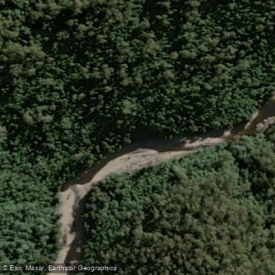
Wilmot River
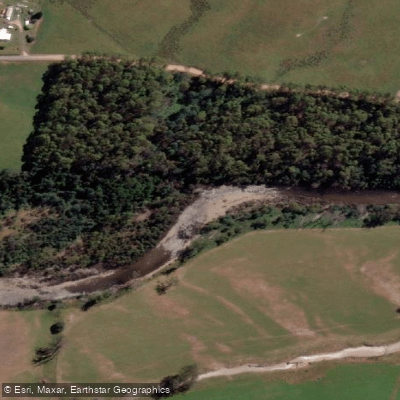
Mersey River
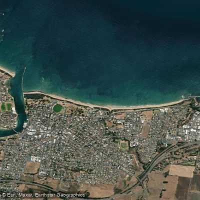
Buttons Beach
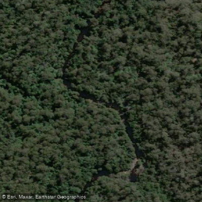
Blythe River
Forth Falls Creek
Don River
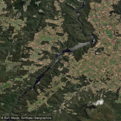
Lake Barrington
Explore Tasmania waters
Top paddling waters
No waters available right now.
Popular Cities
Loading popular cities...
Explore near Lake Murchison

Smarter Paddling Starts in the App.
Paddleways gives you everything you need to plan smarter, paddle better, and own every trip from first launch to takeout.