Macquarie Harbour
- Saltwater
- Estuary
Macquarie Harbour
- Saltwater
- Estuary
- Sq. miles
- 129
- Boat Ramps
- 6
- Access Points
- 0
- Campsites
- 3
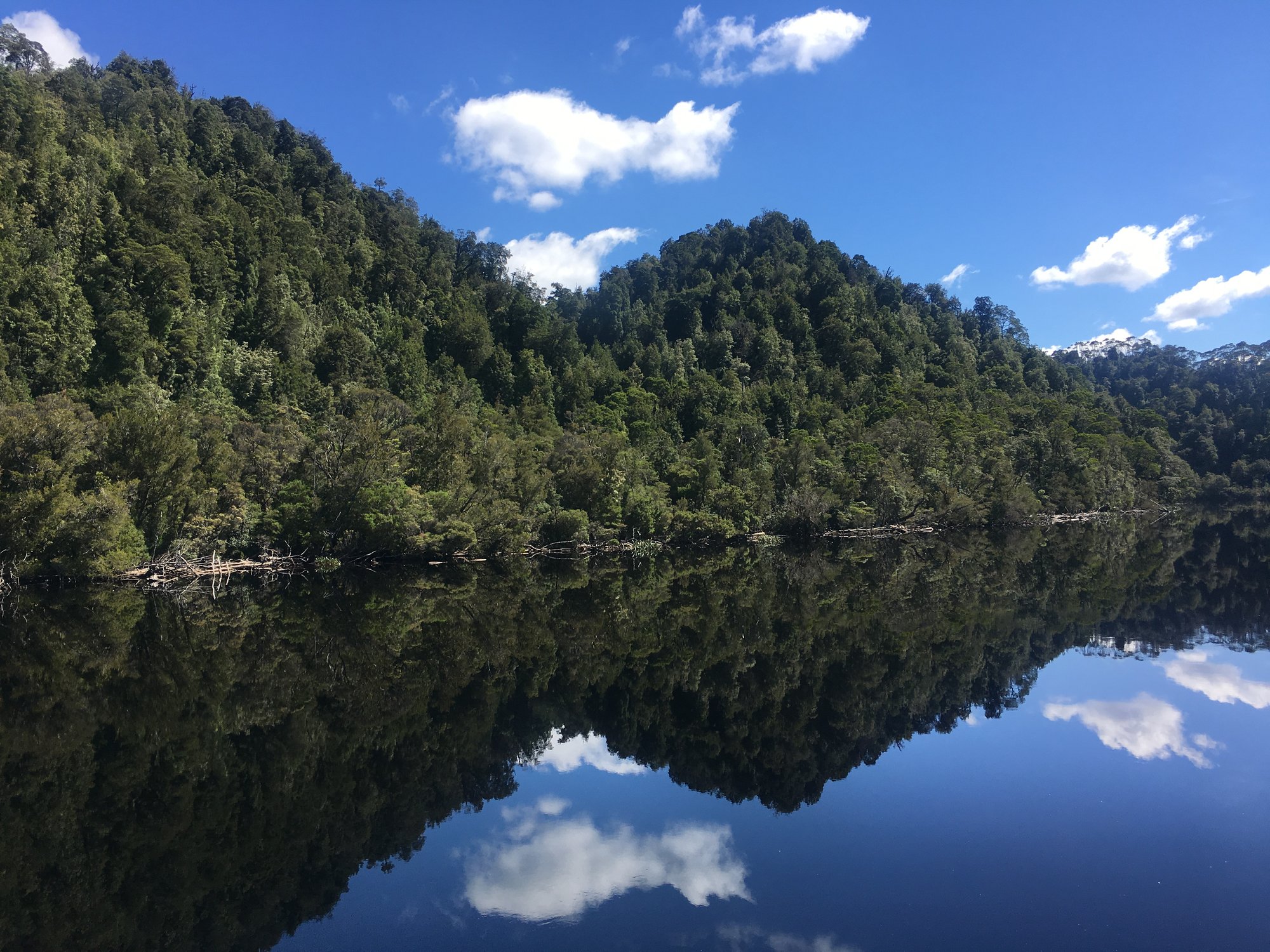
Macquarie Harbour is a vast saltwater estuary on Tasmania's West Coast, the second largest harbour in Australia at six and a half times the size of Sydney Harbour. The primary access point for paddlers is the town of Strahan, which sits on the harbour's edge and serves as a base for kayaking tours and expeditions. The harbour opens to the Southern Ocean through the famously named and dramatic Hells Gates, a point where paddlers can encounter significant ocean swell and conditions. Crossing the harbour's open expanse is a common undertaking, with direct southerly crossings of approximately 11 kilometers documented. These crossings can be slow going when facing a south-west wind, highlighting the area's exposure. The overall paddling character involves navigating a large, open body of water with direct access to wild, oceanic conditions at its entrance.
Notable routes include paddling from Strahan to destinations like Steadmans Beach and expeditions across the harbour toward Hells Gates. Multi-day expeditions, such as a seven-day Gordon River trip, begin by crossing Macquarie Harbour. The harbour is also used for other motorized water activities, including a world record waterskiing attempt that involved towing 114 skiers across it, indicating the presence of substantial boat traffic which paddlers must be aware of. The surrounding region is part of the Tasmanian Wilderness World Heritage Area, contributing to a rugged and scenic backdrop. Paddlers should be prepared for variable conditions, as the area is known for its wild weather, with large swell and wind being significant factors, especially near the ocean entrance.
Water access, boat ramps & amenities
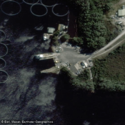
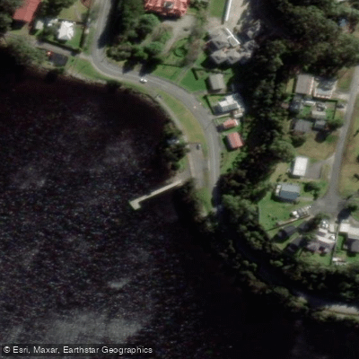
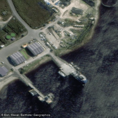
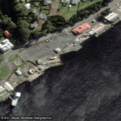
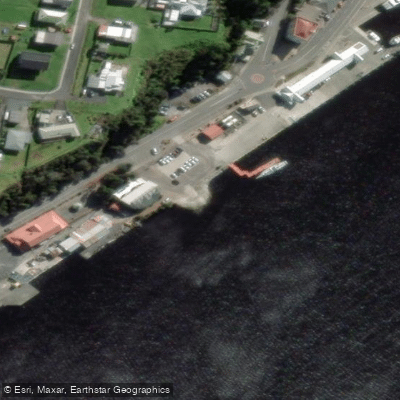
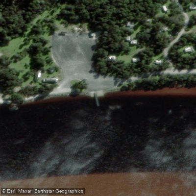
Learn how to get on Macquarie Harbour. Uncover great paddling access points, boat ramps, and all the facilities you need for an unforgettable day on the water. Some locations shown may border or include private property. Always check property boundaries and applicable regulations before visiting. PaddleWays's Public & Private Land layer can help you plan your access with confidence.
Paddle smarter with real-time insights
Whether you're en route and conditions shift or you're looking for the best spot based on current flows, we enable you to make informed decisions on the fly.








Find Places to Paddle

Over 400,000 Places to Paddle
Every user gets free access to launch points, boat ramps, and public property parcels.


Tides, wind & water conditions (10 day forecast)
On open water, wind and tide matter as much as the weather. See the best times to paddle Macquarie Harbour and check the marine forecast before you launch.
Loading tide predictions…
Paddling near Macquarie Harbour
River Leven
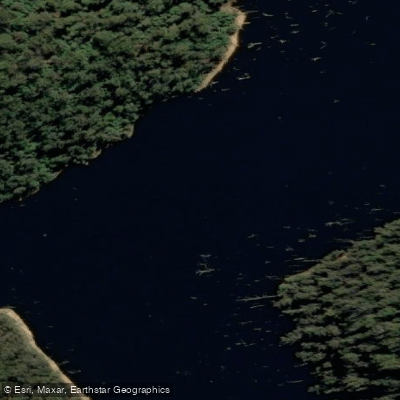
River Forth
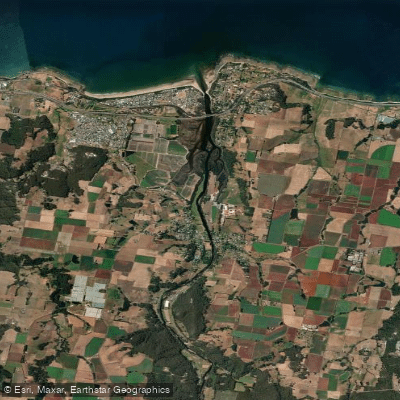
Forth River
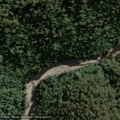
Wilmot River
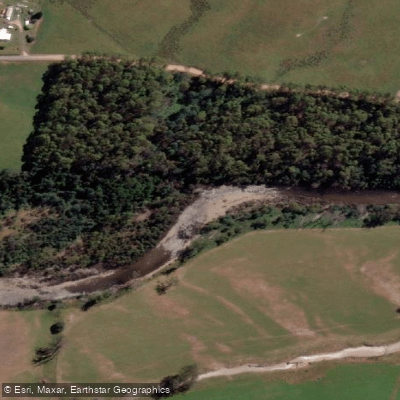
Mersey River
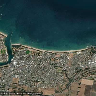
Buttons Beach
Blythe River
Forth Falls Creek
Don River
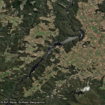
Lake Barrington
Explore Tasmania waters
Top paddling waters
No waters available right now.
Popular Cities
Loading popular cities...
Explore near Macquarie Harbour
Access points
Nearby waters
More in Tasmania

Smarter Paddling Starts in the App.
Paddleways gives you everything you need to plan smarter, paddle better, and own every trip from first launch to takeout.