Murchison River
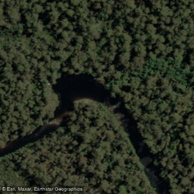
Murchison River
- Boat Ramps
- 0
- Access Points
- 0
- Campsites
- 0
The Murchison River is a major perennial river in western Tasmania, flowing through the Pieman River catchment. The paddling experience involves a journey that includes a stretch across Lake Murchison. This lake crossing can be tedious and is prone to headwinds, which is a primary consideration for trip planning. Once the river enters the valley downstream of the lake, the paddling becomes easier. The overall character of the trip transitions from a potentially challenging open-water crossing to more sheltered and straightforward river travel.
Water access, boat ramps & amenities
Learn how to get on Murchison River. Uncover great paddling access points, boat ramps, and all the facilities you need for an unforgettable day on the water. Some locations shown may border or include private property. Always check property boundaries and applicable regulations before visiting. PaddleWays's Public & Private Land layer can help you plan your access with confidence.
Paddle smarter with real-time insights
Whether you're en route and conditions shift or you're looking for the best spot based on current flows, we enable you to make informed decisions on the fly.








Find Places to Paddle

Over 400,000 Places to Paddle
Every user gets free access to launch points, boat ramps, and public property parcels.


Water and weather conditions (10 day forecast)
See the best times to paddle Murchison River and check the forecast before you go.
Murchison Lake - At Dam
All Flow Stations
Paddling near Murchison River
River Leven
River Forth
Forth River
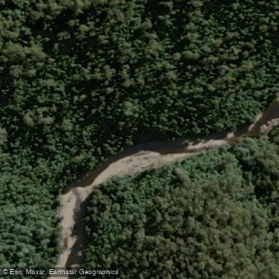
Wilmot River
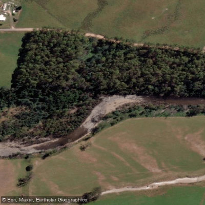
Mersey River
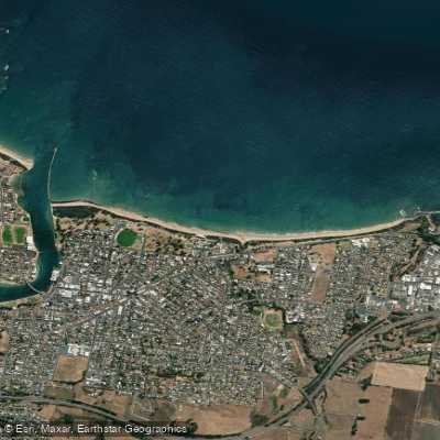
Buttons Beach
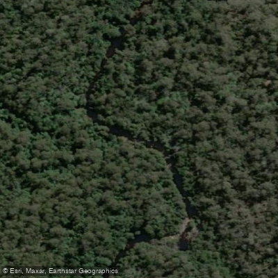
Blythe River
Forth Falls Creek
Don River
Lake Barrington
Explore Tasmania waters
Top paddling waters
No waters available right now.
Popular Cities
Loading popular cities...
Explore near Murchison River

Smarter Paddling Starts in the App.
Paddleways gives you everything you need to plan smarter, paddle better, and own every trip from first launch to takeout.