Aire River
Aire River
- Boat Ramps
- 3
- Access Points
- 0
- Campsites
- 3
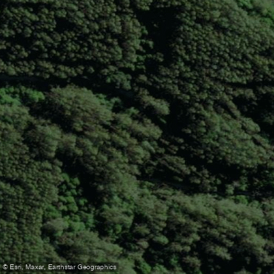
The Aire River flows through the Great Otway National Park along Victoria's Great Ocean Road, draining the western side of the southern Otway Ranges — one of the highest rainfall areas in the state. It is listed as a Heritage River and is considered the least modified of the larger rivers in the southwestern region. The river is notable for containing the greatest number of platypus per unit area of any water in Victoria, and the surrounding Lower Aire River Wetlands — covering 84 hectares and encompassing Lakes Horden, Craven, and Costin — are recognised in the directory of nationally important wetlands.
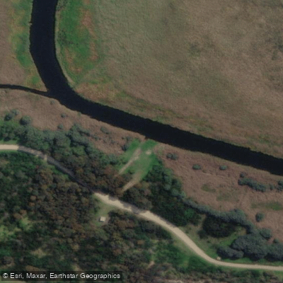
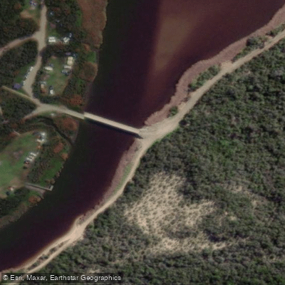
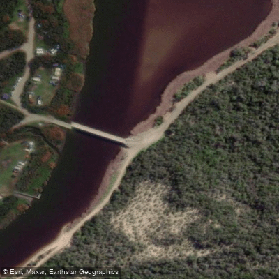
The primary access point for paddlers is the boat ramp near the bridge where Sand Road crosses the Aire River, close to the Aire River East Campground. A sandy area beside the ramp also allows for kayak launching. The main out-and-back route runs approximately 5.5 kilometres upstream from the bridge to where the Great Ocean Road crosses the river, making for an 11-kilometre return trip. Depending on water levels, it is possible to continue roughly 1 kilometre beyond that bridge. A side excursion to Lake Craven, located approximately 1 kilometre upriver off to the right, is also feasible and can be combined with the upstream paddle. Note that Lake Craven is quite large but very shallow in parts, and the skeg or rudder of a kayak can drag through the mud.
The lower stretches of the river pass through reed-lined banks and open farmland, while further upstream the banks become revegetated with gum trees, providing shelter from wind. Koalas are regularly spotted in the gum trees along the upper section, and the river supports diverse birdlife throughout. The river mouth can close due to low flow and may require artificial opening, which can significantly affect water levels — a drop of around one metre has been observed following such intervention.
The paddle is generally rated as easy and is suitable for beginners and families. Early morning or evening are considered the best times to paddle for wildlife viewing. Fallen trees and branches can obstruct passage in places, particularly further upstream. The campground is managed by Parks Victoria, requires advance booking year-round, and is subject to an annual seasonal closure from late May to late September. Canoeing, kayaking, and stand-up paddleboarding are all permitted on the river.
Water access, boat ramps & amenities
Learn how to get on Aire River. Uncover great paddling access points, boat ramps, and all the facilities you need for an unforgettable day on the water. Some locations shown may border or include private property. Always check property boundaries and applicable regulations before visiting. PaddleWays's Public & Private Land layer can help you plan your access with confidence.
Paddle smarter with real-time insights
Whether you're en route and conditions shift or you're looking for the best spot based on current flows, we enable you to make informed decisions on the fly.








Find Places to Paddle

Over 400,000 Places to Paddle
Every user gets free access to launch points, boat ramps, and public property parcels.


Water and weather conditions (10 day forecast)
See the best times to paddle Aire River and check the forecast before you go.
Aire River @ Beech Forest
All Flow Stations
Paddling near Aire River
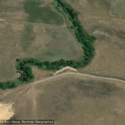
Merri River
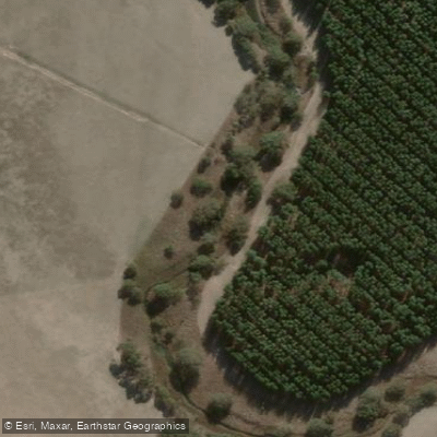
Hopkins River
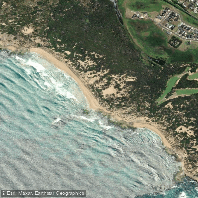
Shelly Beach
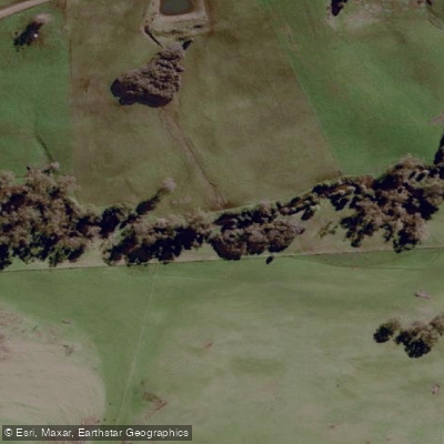
Curdies River
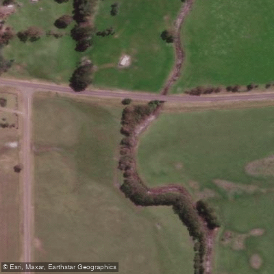
Moyne River

Helen Rock
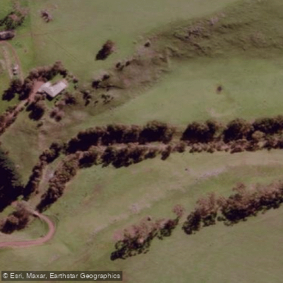
Salt Creek
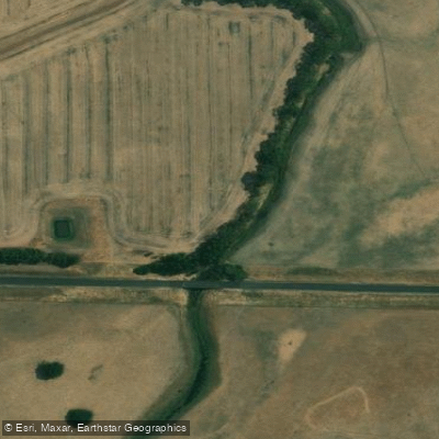
Spring Creek
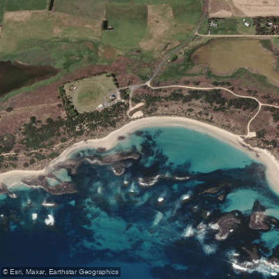
Killarney Beach
Fitzroy River
Explore Victoria waters
Top paddling waters
No waters available right now.
Popular Cities
Loading popular cities...
Explore near Aire River
Access points
Nearby waters
More in Victoria

Smarter Paddling Starts in the App.
Paddleways gives you everything you need to plan smarter, paddle better, and own every trip from first launch to takeout.