Gellibrand River
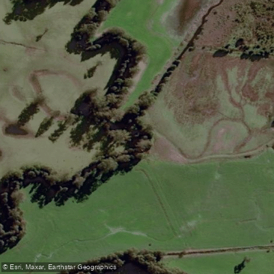
Gellibrand River
- Boat Ramps
- 1
- Access Points
- 0
- Campsites
- 4
The Gellibrand River is located near Princetown, a short drive from the 12 Apostles along the Great Ocean Road in Victoria. The river offers a calm, unhurried paddling experience that is not overly affected by tides, making it accessible for a range of paddlers.
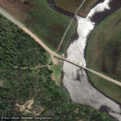
Access is from a boat launch area near a newly constructed bridge on Old Coach Road, Princetown. From this put-in, paddlers have two route options. Heading downriver toward the Southern Ocean is approximately 1 kilometre each way, a short trip that passes the remains of a 90-metre tunnel carved through the cliff in 1906. This tunnel was an engineering project designed to break through a seasonal sandbar that periodically blocked the river mouth; the original solid wooden gates were intended to open the river to the ocean, and the system is still managed manually when water levels reach a certain height. The sandbar at the river mouth can be an active feature — dredging operations are sometimes conducted to release river water into the ocean when levels are high, so paddlers should be aware of this possibility near the mouth.
Heading upriver from the launch point, the paddle winds through the Princetown Wetlands for approximately 14 kilometres return. This stretch is well suited to birdwatching, passing through wetland habitat. A wetlands boardwalk is also accessible in the area for those who want to explore on foot between paddling.
The overall character of the river is calm and unhurried, with the upriver section through the wetlands offering a leisurely experience. The downriver section to the beach is brief but includes the historically significant tunnel ruins as a point of interest. Parking is available near the Old Coach Road bridge, with the boat launch easily accessible from that point.
Water access, boat ramps & amenities
Learn how to get on Gellibrand River. Uncover great paddling access points, boat ramps, and all the facilities you need for an unforgettable day on the water. Some locations shown may border or include private property. Always check property boundaries and applicable regulations before visiting. PaddleWays's Public & Private Land layer can help you plan your access with confidence.
Paddle smarter with real-time insights
Whether you're en route and conditions shift or you're looking for the best spot based on current flows, we enable you to make informed decisions on the fly.








Find Places to Paddle

Over 400,000 Places to Paddle
Every user gets free access to launch points, boat ramps, and public property parcels.


Water and weather conditions (10 day forecast)
See the best times to paddle Gellibrand River and check the forecast before you go.
Gellibrand River @ Upper Gellibrand
All Flow Stations
Paddling near Gellibrand River
Merri River
Hopkins River
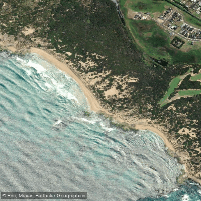
Shelly Beach
Curdies River
Moyne River
Helen Rock
Salt Creek
Spring Creek
Killarney Beach
Fitzroy River
Explore Victoria waters
Top paddling waters
No waters available right now.
Popular Cities
Loading popular cities...
Explore near Gellibrand River
Access points
Nearby waters
More in Victoria

Smarter Paddling Starts in the App.
Paddleways gives you everything you need to plan smarter, paddle better, and own every trip from first launch to takeout.