Lake Hattah
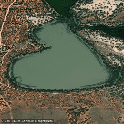
Lake Hattah
- Boat Ramps
- 0
- Access Points
- 0
- Campsites
- 1
Lake Hattah is a shallow lake within Hattah-Kulkyne National Park, located in the far north-west of Victoria, approximately 450 kilometres from Melbourne and 75 kilometres south of Mildura. The lake sits within a semi-arid Mallee landscape and is part of a broader interconnected lakes system that also includes Lake Mournpall and several smaller water bodies. The Hattah Lakes are recognised under the Ramsar Convention as internationally significant wetlands.
Water levels in the lake system are highly variable and directly dependent on flows in the Murray River. The lakes fill via Chalker Creek, which only flows when the Murray River reaches a certain flow rate. As a result, the lakes can range from completely dry to fully flooded, and paddlers should check current water levels with Parks Victoria before planning a trip. When water levels are suitable, the lake system offers good canoeing opportunities, and during flood conditions the water can extend many kilometres beyond the lake boundaries, allowing paddling through flooded River Red Gum forests.
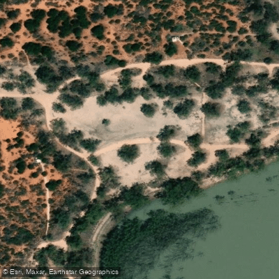
There is a designated campground at Lake Hattah with basic facilities including pit toilets, fireplaces, and picnic tables. Advance bookings and payment are required year-round for this campground, which can be arranged through Parks Victoria. A canoe launch point is marked on park maps near Lake Hattah. The park visitor guide notes that there are also two boat launching ramps and several other easy launch points within the broader park area.
The lake system supports a wide variety of birdlife, ranging from wetland species such as pelicans, ducks, and spoonbills to dry Mallee specialists including Malleefowl and Emu Wrens. A notable cultural feature near the lake is a historic canoe tree. There is also a remnant water pump that was once used to supply water from Lake Hattah to the nearby Hattah Railway Station during the era of steam-powered trains.
When water levels are low, access to the lake shore can be difficult due to encroaching vegetation, including young River Red Gum saplings that have established during dry periods. Water quality can deteriorate when Chalker Creek is not flowing, as stagnant conditions develop. Dogs and generators are not permitted within Hattah-Kulkyne National Park, though they are allowed in the adjacent Murray-Kulkyne Park.
Water access, boat ramps & amenities
Learn how to get on Lake Hattah. Uncover great paddling access points, boat ramps, and all the facilities you need for an unforgettable day on the water. Some locations shown may border or include private property. Always check property boundaries and applicable regulations before visiting. PaddleWays's Public & Private Land layer can help you plan your access with confidence.
Paddle smarter with real-time insights
Whether you're en route and conditions shift or you're looking for the best spot based on current flows, we enable you to make informed decisions on the fly.








Find Places to Paddle

Over 400,000 Places to Paddle
Every user gets free access to launch points, boat ramps, and public property parcels.


Water and weather conditions (10 day forecast)
See the best times to paddle Lake Hattah and check the forecast before you go.
No forecast data available.
Paddling near Lake Hattah

Murray River
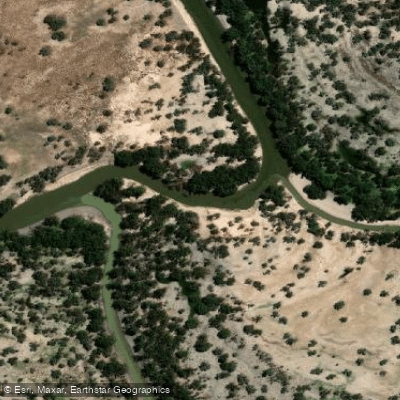
Darling River
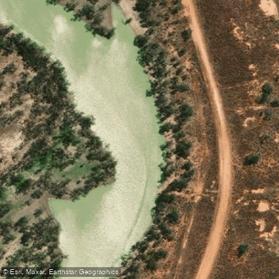
Great Darling Anabranch
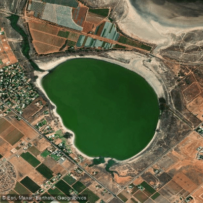
Lake Hawthorn
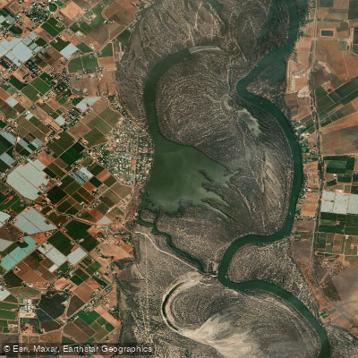
Kings Billabong
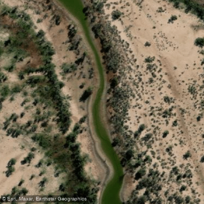
Wallpolla Creek
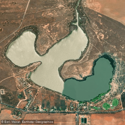
Lake Cullulleraine
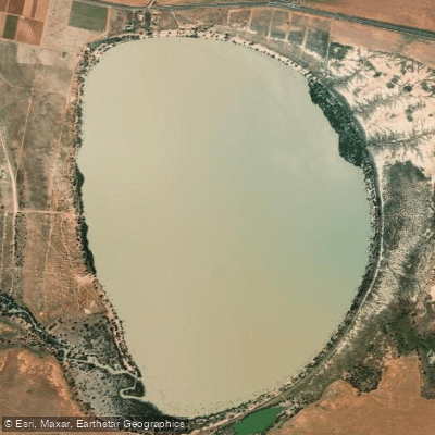
Lake Benanee
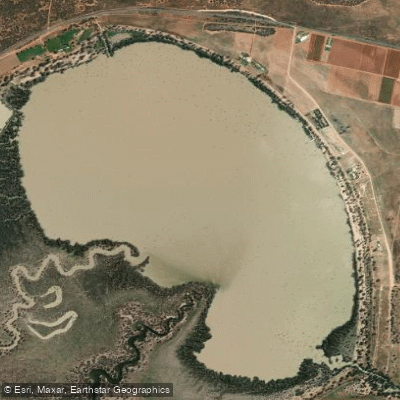
Dry Lake
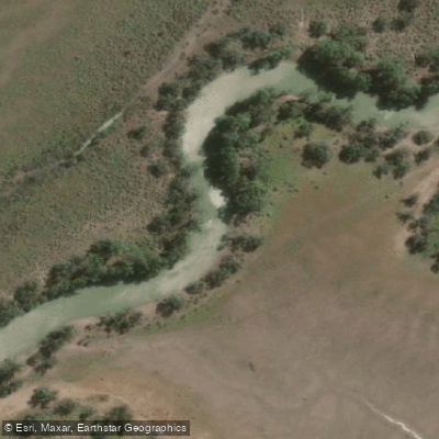
Potterwalkagee Creek
Explore Victoria waters
Top paddling waters
No waters available right now.
Popular Cities
Loading popular cities...
Explore near Lake Hattah

Smarter Paddling Starts in the App.
Paddleways gives you everything you need to plan smarter, paddle better, and own every trip from first launch to takeout.