Lake Mournpall
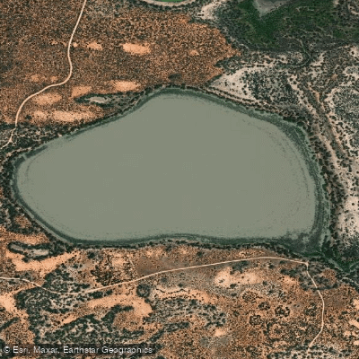
Lake Mournpall
- Boat Ramps
- 0
- Access Points
- 0
- Campsites
- 1
Lake Mournpall is a freshwater lake located within Hattah-Kulkyne National Park in Victoria's Mallee region, approximately 35km from Mildura and 35km from Ouyen. The lake is part of a broader system of freshwater lakes that are seasonally filled by Chalka Creek, which connects to the Murray River. Water levels can remain full for up to ten years without flooding, though flooding from the Murray generally occurs roughly once every two years. During flood periods, water can extend many kilometres beyond the lake's normal boundaries.
Canoeing and kayaking are explicitly noted as popular activities on the lake when water levels are suitable. The lake is the largest in the local system and is flanked by River Red Gum floodplains and Mallee dunes, with firm sandy shoreline accessible near the water's edge. Fallen trees along the shoreline can occasionally require detours when paddling close to the banks. The lake system, when flooded, forms part of Australia's Ramsar-listed significant wetlands under the international convention for wetland protection.
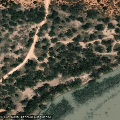
The Lake Mournpall Camping Area serves as the primary access point for paddlers, with a boat ramp nearby. The campground provides pit toilets, fireplaces, and picnic tables. Advance bookings and payment are required year-round for camping. The park is accessible by car, though some tracks are sandy and may require 4WD. The main Mournpall Track is a well-graded road running roughly north-south through the park.
Wildlife is abundant around the lake. More than 200 bird species have been recorded in the park, including pelicans, ducks, spoonbills, wedge-tailed eagles, white-bellied sea eagles, and whistling kites. Kangaroos, emus, and goannas are also commonly encountered. The lake is noted to contain carp, which are the dominant fish species. The surrounding vegetation transitions between River Red Gum floodplains near the water and Mallee scrub on higher, drier sand ridges.
Paddlers should be aware that the park is periodically closed for conservation programs, and certain tracks including Raak Track and Goosefoot Track have been subject to fire-related closures. Checking Parks Victoria's website before visiting is advisable to confirm current access conditions. Dogs and generators are not permitted within Hattah-Kulkyne National Park, though they are allowed in the adjacent Murray-Kulkyne Park.
Water access, boat ramps & amenities
Learn how to get on Lake Mournpall. Uncover great paddling access points, boat ramps, and all the facilities you need for an unforgettable day on the water. Some locations shown may border or include private property. Always check property boundaries and applicable regulations before visiting. PaddleWays's Public & Private Land layer can help you plan your access with confidence.
Paddle smarter with real-time insights
Whether you're en route and conditions shift or you're looking for the best spot based on current flows, we enable you to make informed decisions on the fly.








Find Places to Paddle

Over 400,000 Places to Paddle
Every user gets free access to launch points, boat ramps, and public property parcels.


Water and weather conditions (10 day forecast)
See the best times to paddle Lake Mournpall and check the forecast before you go.
No forecast data available.
Paddling near Lake Mournpall

Murray River
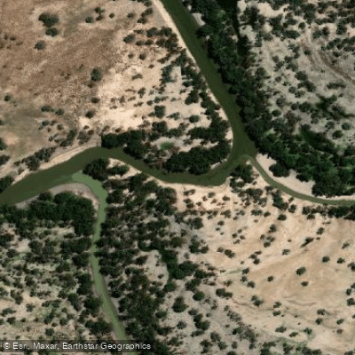
Darling River
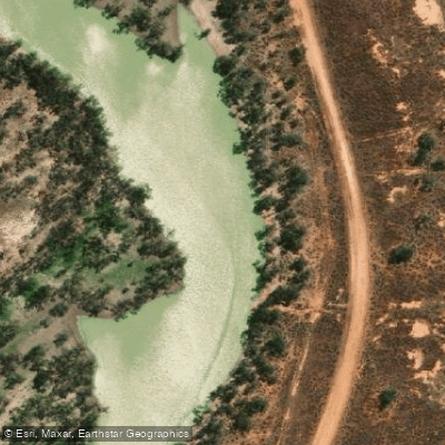
Great Darling Anabranch
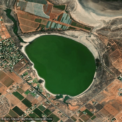
Lake Hawthorn
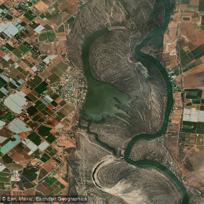
Kings Billabong
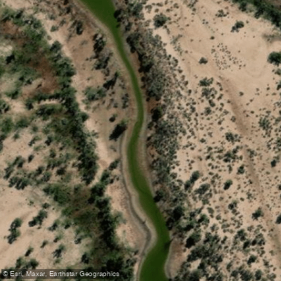
Wallpolla Creek
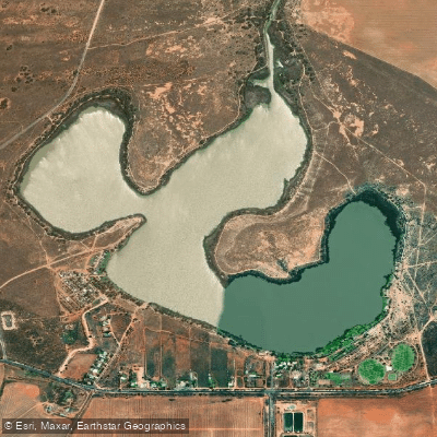
Lake Cullulleraine
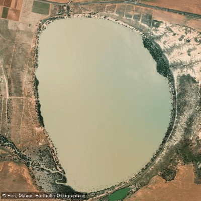
Lake Benanee
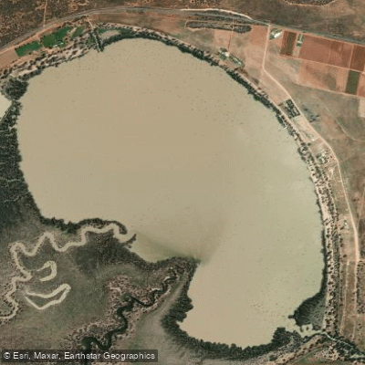
Dry Lake
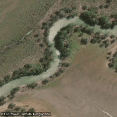
Potterwalkagee Creek
Explore Victoria waters
Top paddling waters
No waters available right now.
Popular Cities
Loading popular cities...
Explore near Lake Mournpall

Smarter Paddling Starts in the App.
Paddleways gives you everything you need to plan smarter, paddle better, and own every trip from first launch to takeout.