Mullaroo Creek
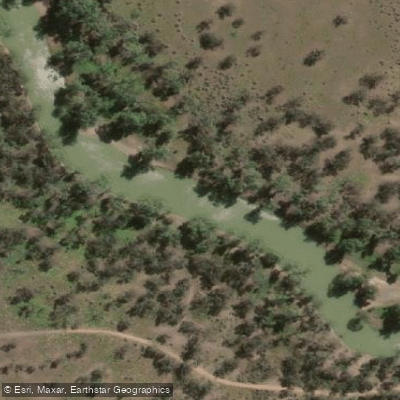
Mullaroo Creek
- Boat Ramps
- 1
- Access Points
- 0
- Campsites
- 2
Mullaroo Creek is a tributary waterway located within the Murray-Sunset National Park in Victoria, Australia, flowing into the Murray River near Lindsay Island. The creek connects with the Lindsay River system, making it part of a network of inland waterways that paddlers can explore as part of multi-day circumnavigation routes around Lindsay Island.
The creek is narrower than the Lindsay River and carries a faster current, which means upstream travel requires more effort. Its course features numerous twists and turns along with fallen trees that must be navigated, adding a degree of technical interest compared to the broader, slower sections of the Murray and Lindsay Rivers. The junction of Mullaroo Creek with the Lindsay River is a commonly used waypoint on multi-day trips.
Access to the area is via the Old Mail Route Road, a dry-weather dirt track only. A regulator at the mouth of Mullaroo Creek serves as both a launch and landing point for paddlers. The area is remote, with no mobile phone reception, and visitors must be entirely self-sufficient, carrying all water and provisions. A boat ramp is available at the Mullaroo Mouth Camping Area, where a picnic table is also provided. Access requires a 4WD vehicle in dry conditions.
The surrounding area offers bush camping, and fires are permitted only where fireplaces are provided and must be extinguished with water before leaving. Dogs are not permitted in the area. A Victorian fishing licence is required to fish in Mullaroo Creek. The creek and surrounding park are managed by Parks Victoria, and no fees or bookings are required for the camping area at the mouth.
Multi-day paddling trips that incorporate Mullaroo Creek typically use it as part of a Lindsay Island circumnavigation, combining sections of the Murray River, Lindsay River, and Mullaroo Creek. Given the remote nature of the location and the dry-weather-only access road, trip planning should account for weather conditions and road accessibility. The area is prone to flooding, which can block tracks and alter launch options, so checking conditions before departure is advisable.
Water access, boat ramps & amenities
Learn how to get on Mullaroo Creek. Uncover great paddling access points, boat ramps, and all the facilities you need for an unforgettable day on the water. Some locations shown may border or include private property. Always check property boundaries and applicable regulations before visiting. PaddleWays's Public & Private Land layer can help you plan your access with confidence.
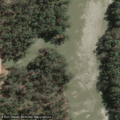
Paddle smarter with real-time insights
Whether you're en route and conditions shift or you're looking for the best spot based on current flows, we enable you to make informed decisions on the fly.








Find Places to Paddle

Over 400,000 Places to Paddle
Every user gets free access to launch points, boat ramps, and public property parcels.


Water and weather conditions (10 day forecast)
See the best times to paddle Mullaroo Creek and check the forecast before you go.
Mullaroo @ Lock 7
All Flow Stations
Paddling near Mullaroo Creek

Murray River
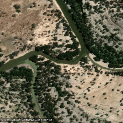
Darling River
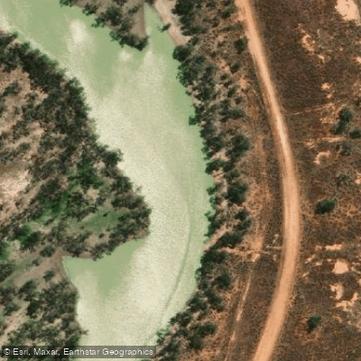
Great Darling Anabranch
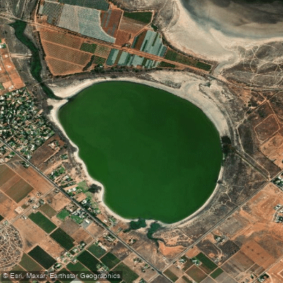
Lake Hawthorn
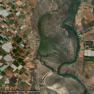
Kings Billabong
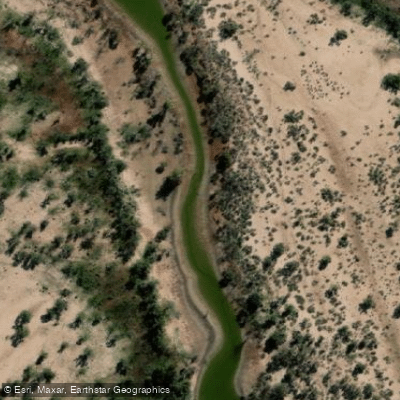
Wallpolla Creek
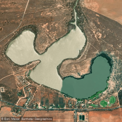
Lake Cullulleraine
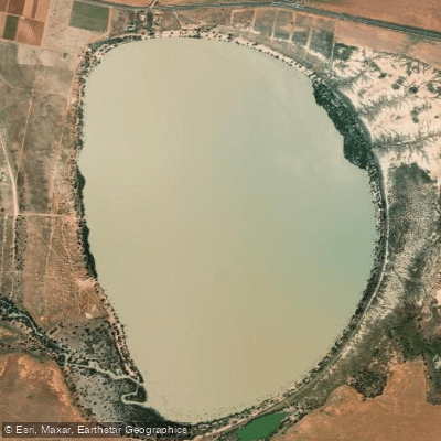
Lake Benanee
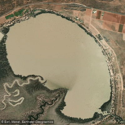
Dry Lake
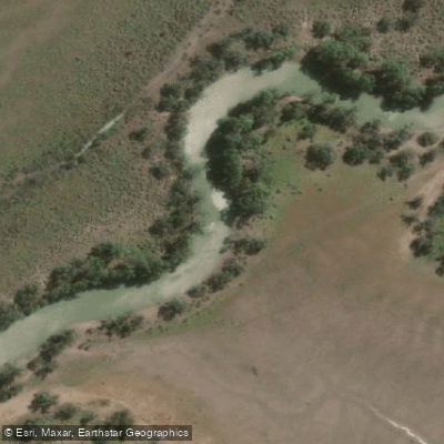
Potterwalkagee Creek
Explore Victoria waters
Top paddling waters
No waters available right now.
Popular Cities
Loading popular cities...
Explore near Mullaroo Creek

Smarter Paddling Starts in the App.
Paddleways gives you everything you need to plan smarter, paddle better, and own every trip from first launch to takeout.