Wallpolla Island
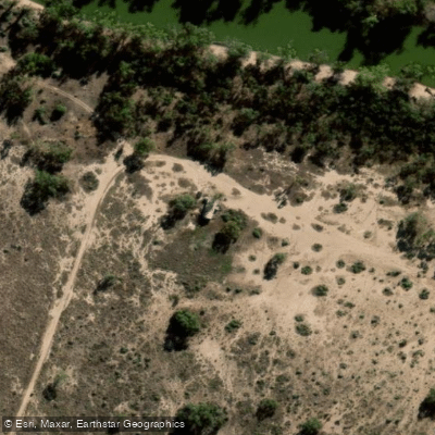
Wallpolla Island
Wallpolla Island is a large, low-lying floodplain island of more than 26,100 hectares situated within Murray-Sunset National Park in Victoria, near Cullulleraine — roughly midway between Renmark and Mildura on the Sturt Highway.
It forms part of the Chowilla Floodplain and Lindsay-Wallpolla Islands Icon Site, which straddles the Victoria–South Australia–New South Wales border in the mid-Murray River system.
Wallpolla Creek defines part of the island's boundary and connects to an extensive network of creeks, wetlands, and lignum shrublands. The area is known for the Wallpolla Island Canoe Trail, a multi-day paddling route through the creek system.
Paddlers can expect remote, uncrowded conditions amid majestic River Red Gums, billabongs, and rich wildlife including wedge-tailed eagles, pelicans, black swans, and kangaroos.
Campsites are found along the creek banks, typically on gentle-sloped sections beneath old-growth gums. Mobile coverage exists at some campsites, though data connectivity is unreliable throughout much of the system.
More ways to access Wallpolla Creek
Explore the wonders of Wallpolla Creek! Find excellent paddling spots, easy access to boat ramps, and all the amenities you need for a memorable day by the water. Your adventure starts here.
Water and weather conditions (10 day forecast)
Check the forecast at Wallpolla Island before you go paddling.
No forecast data available.
Paddling near Wallpolla Island
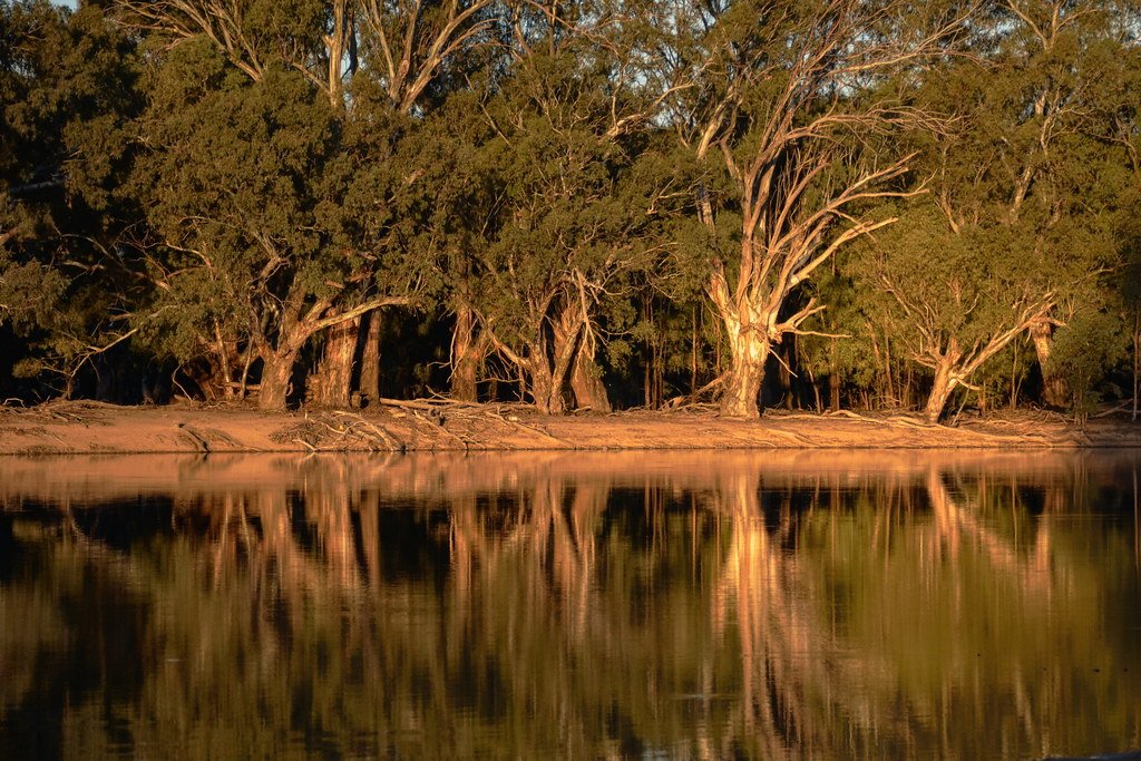
Murray River
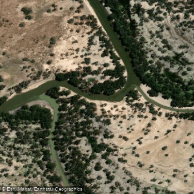
Darling River
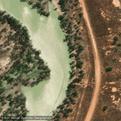
Great Darling Anabranch
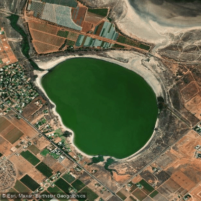
Lake Hawthorn
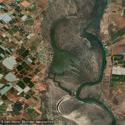
Kings Billabong
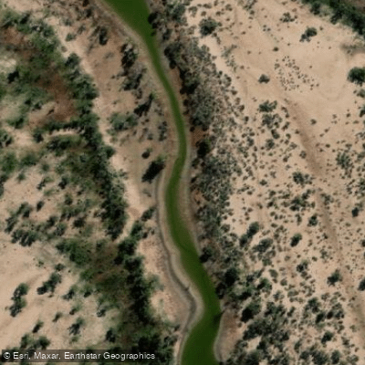
Wallpolla Creek
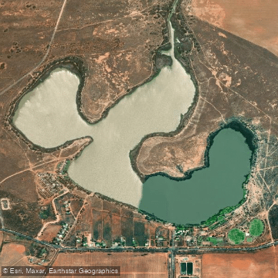
Lake Cullulleraine
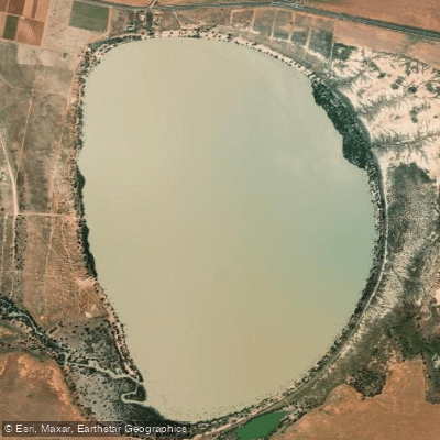
Lake Benanee
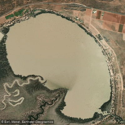
Dry Lake
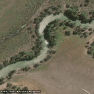
Potterwalkagee Creek
Victoria licenses and regulations
Explore Victoria waters
Top paddling waters
No waters available right now.
Popular Cities
Loading popular cities...
Explore near Wallpolla Island

Smarter Paddling Starts in the App.
Paddleways gives you everything you need to plan smarter, paddle better, and own every trip from first launch to takeout.