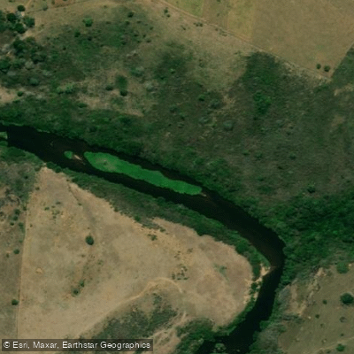
Rio Alcobaça ou Itanhém
Rio Alcobaça ou Itanhém
- Boat Ramps
- 0
- Access Points
- 0
- Campsites
- 1
The Rio Itanhém, also known as the Rio Alcobaça, flows through the Extreme South of Bahia in eastern Brazil. It originates in the district of Monte Castelo, in the municipality of Fronteira dos Vales in Minas Gerais, and runs generally west to east before emptying into the Atlantic Ocean at Praia da Barra do Itanhém, near the town of Alcobaça. Along its course it passes through the municipalities of Alcobaça and Itanhém. Its principal tributary is the Rio Itanhetinga, which joins from the left bank; other notable tributaries include the Rio das Umburanas (55 km), Rio Água Fria (56 km), Córrego da Bandeira (48 km), and the Rio Itanhetinga itself (80 km).
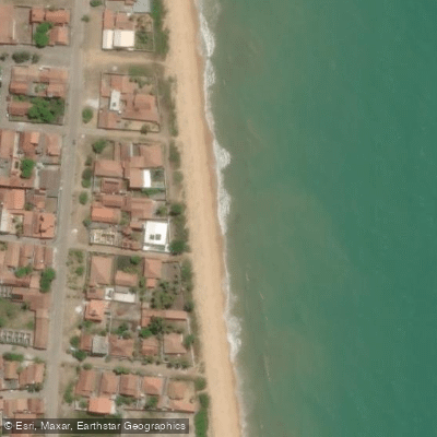
At its mouth, where the river meets the sea, there is a substantial mangrove area that forms the focal point for water-based activity in the region. This zone is a recognized spot for water sports and sport fishing, and boat and kayak hire is available there. Infrastructure at the mouth includes a beach hut and the Deck da Barra restaurant, which offers views over the river. The area ranks among the top attractions in Alcobaça.
The river hosts an annual paddling event, the Descida do Rio Itanhém, typically held in late January, which draws competitors and spectators for a downstream race. Participants gather from around 7 a.m. for the event, suggesting that morning starts are the norm for organized paddling on this stretch.
The river supports a variety of fish species including cordata, traíra, piau, bagre, and cascudo, as well as crustaceans such as pitu and shrimp. The mangrove ecosystem at the mouth adds ecological interest for paddlers exploring the lower reaches. Historically, the river served as the primary route for colonizers traveling from the coastal settlement of Vila de Caravelas into the interior of Bahia, giving it considerable cultural significance in the region's history.
The mouth coordinates are approximately 17°32′S, 39°12′W, placing the river in the Extreme South of Bahia, a coastal region also known as the Whale Coast.
Water access, boat ramps & amenities
Learn how to get on Rio Alcobaça ou Itanhém. Uncover great paddling access points, boat ramps, and all the facilities you need for an unforgettable day on the water. Some locations shown may border or include private property. Always check property boundaries and applicable regulations before visiting. PaddleWays's Public & Private Land layer can help you plan your access with confidence.
Paddle smarter with real-time insights
Whether you're en route and conditions shift or you're looking for the best spot based on current flows, we enable you to make informed decisions on the fly.







Bahia licenses and regulations
No licenses or regulations available for Bahia.
Find Places to Paddle

Over 400,000 Places to Paddle
Every user gets free access to launch points, boat ramps, and public property parcels.


Water and weather conditions (10 day forecast)
See the best times to paddle Rio Alcobaça ou Itanhém and check the forecast before you go.
Umburatiba
All Flow Stations
Paddling near Rio Alcobaça ou Itanhém
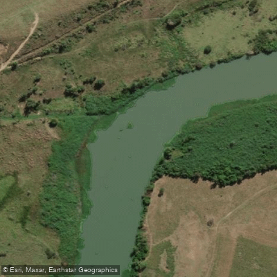
Rio São Mateus
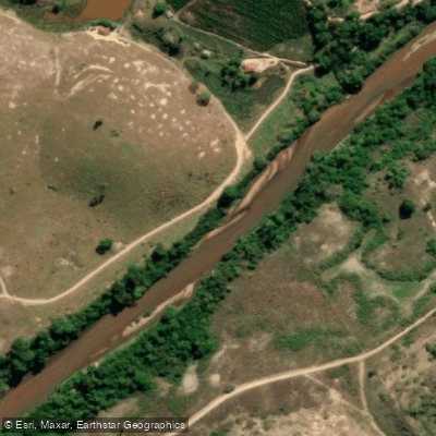
Rio Cricaré ou Braço Sul do Rio São Mateus
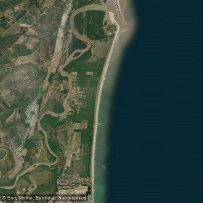
Praia Meleiras
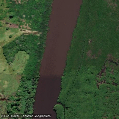
Rio Mariricu
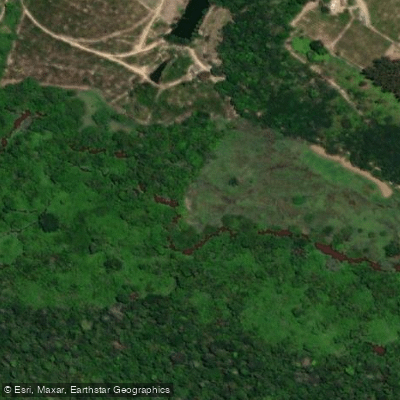
Rio Barra Seca
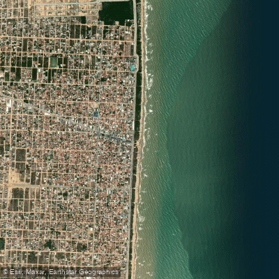
Praia de Guriri
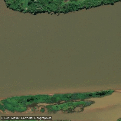
Rio Doce
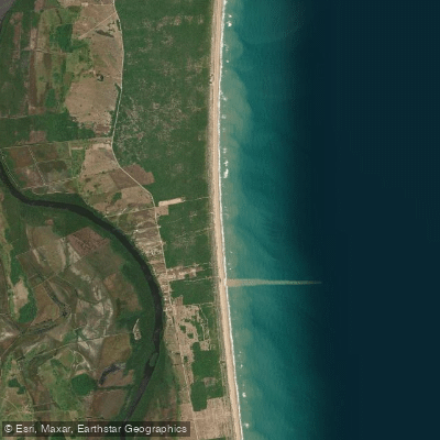
Praia Ranchinho
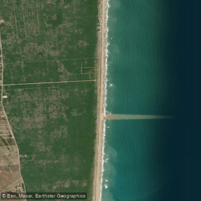
Praia do Caramujo
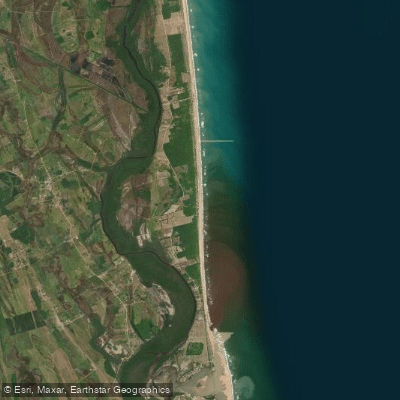
Praia da Gameleira
Explore Bahia waters
Top paddling waters
No waters available right now.
Popular Cities
Loading popular cities...
Explore near Rio Alcobaça ou Itanhém

Smarter Paddling Starts in the App.
Paddleways gives you everything you need to plan smarter, paddle better, and own every trip from first launch to takeout.