Rio Barra Seca
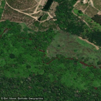
Rio Barra Seca
- Boat Ramps
- 0
- Access Points
- 0
- Campsites
- 1
The Rio Barra Seca is a 118-kilometer river in the northeastern region of Espírito Santo, Brazil. It originates in the Pontões Capixabas highlands at an elevation of 238 meters, on the border between the municipalities of São Gabriel da Palha and Nova Venécia, and flows to the Atlantic Ocean between São Mateus and Linhares. Along its course it passes through or borders the municipalities of Vila Valério, Sooretama, and Jaguaré, and crosses the ES-137 and BR-101 highways. The river's drainage basin covers approximately 2,216 square kilometers.
The lower reaches of the river border the Reserva Biológica de Sooretama, though the basin as a whole has experienced considerable human modification, particularly in the lower section. Approximately 50 kilometers upstream from the mouth there is a deactivated hydroelectric dam, which paddlers should be aware of when planning routes in that stretch. The river meets the Atlantic through a coastal area characterized by beaches.
In the municipality of Jaguaré, the river is a recognized recreational destination. The annual Descida Ecológica do Rio Barra Seca is an organized paddle descent held in the community of Barra Seca de Ponte Velha, drawing participants who bring their own watercraft — including kayaks and inflatable boats — to descend the river together. The event is supported by the Environmental Police and the Fire Department. The event typically takes place on a Sunday in April, with participants concentrating near the Prefeitura de Jaguaré before traveling to the Zequinha Calvi property, with a mid-route stop at the Paulo Calvi property and a finish approximately 100 meters past the Ponte Velha bridge. The descent runs from approximately 07:30 to noon. The event is framed around ecotourism, adventure tourism, and environmental awareness, and is open to families and recreational paddlers.
The river also attracts fishing and general outdoor recreation. Entry to the river as a natural attraction is free and accessible for both visitors and local residents.
Water access, boat ramps & amenities
Learn how to get on Rio Barra Seca. Uncover great paddling access points, boat ramps, and all the facilities you need for an unforgettable day on the water. Some locations shown may border or include private property. Always check property boundaries and applicable regulations before visiting. PaddleWays's Public & Private Land layer can help you plan your access with confidence.
Paddle smarter with real-time insights
Whether you're en route and conditions shift or you're looking for the best spot based on current flows, we enable you to make informed decisions on the fly.







Espírito Santo licenses and regulations
No licenses or regulations available for Espírito Santo.
Find Places to Paddle

Over 400,000 Places to Paddle
Every user gets free access to launch points, boat ramps, and public property parcels.


Water and weather conditions (10 day forecast)
See the best times to paddle Rio Barra Seca and check the forecast before you go.
São Jorge Da Barra Seca
All Flow Stations
Paddling near Rio Barra Seca
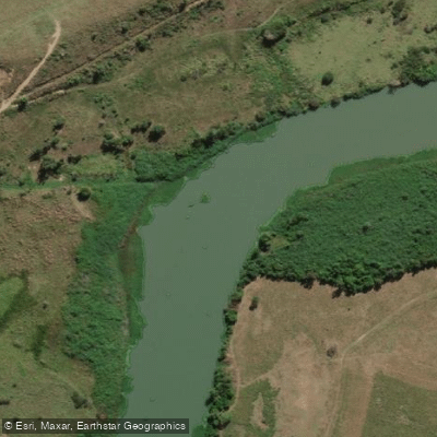
Rio São Mateus
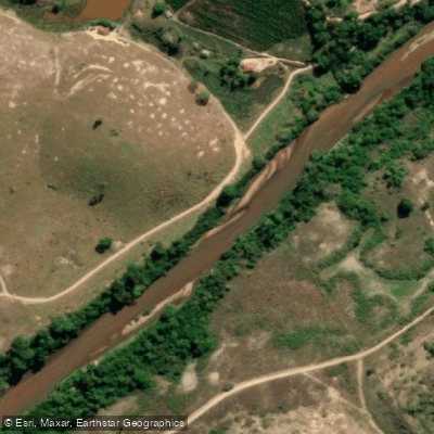
Rio Cricaré ou Braço Sul do Rio São Mateus
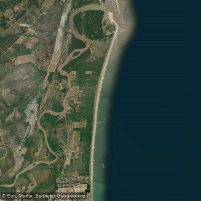
Praia Meleiras
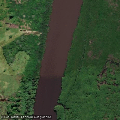
Rio Mariricu
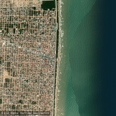
Praia de Guriri
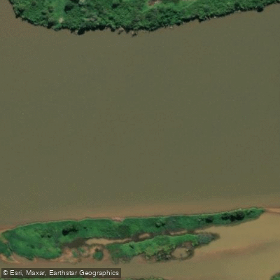
Rio Doce
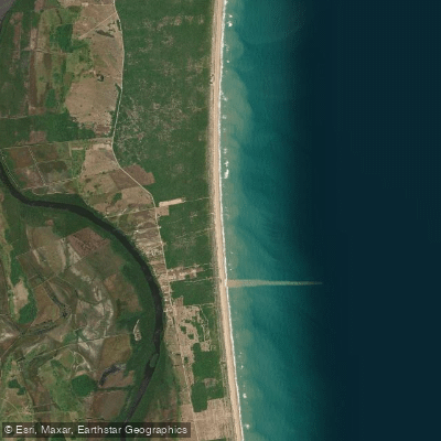
Praia Ranchinho
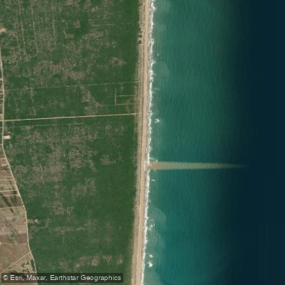
Praia do Caramujo
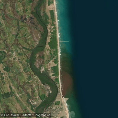
Praia da Gameleira
Explore Espírito Santo waters
Top paddling waters
No waters available right now.
Popular Cities
Loading popular cities...
Explore near Rio Barra Seca
Access points
Nearby waters
More in Espírito Santo

Smarter Paddling Starts in the App.
Paddleways gives you everything you need to plan smarter, paddle better, and own every trip from first launch to takeout.