Rio Açungui
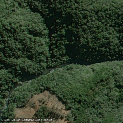
Rio Açungui
- Boat Ramps
- 0
- Access Points
- 0
- Campsites
- 0
The Rio Açungui is a river in Paraná state, southern Brazil, rising in the foothills of the Serra de São Luiz do Purunã near the district of São Luiz do Purunã in Campo Largo, roughly to the northwest of Curitiba. From its source, the river flows in a generally northeast direction, passing through Campo Largo, Itaperuçu, and Rio Branco do Sul before joining the Rio Ribeira, which continues east into São Paulo state. The confluence of the Açungui and the Ribeirinha rivers marks the headwaters of the Ribeira de Iguape River, all within approximately 100 kilometers of Curitiba.
The Açungui valley is characterized by steep terrain with numerous small canyons. The river contains rapids, most notably in the Canyon do Acalantilado, an excellent location for rafting. The steep valley walls and proximity to the Açungui National Forest have contributed to a well-preserved natural environment along much of the river's course.
The river basin covers approximately 1,800 square kilometers and is considered the last natural reserve of unpolluted water available to supply the metropolitan region of Curitiba. The Açungui National Forest, established in 1944 and covering 3,728 hectares, borders the river and protects stands of araucaria trees. This combination of protected forest and relatively clean water gives the river a largely undeveloped character through much of its course.
Given the river's role as a critical drinking water source for the Curitiba metropolitan area, paddlers should be aware that water quality protection is a significant concern in this basin, and any applicable regulations related to that designation should be verified before planning a trip.
Water access, boat ramps & amenities
Learn how to get on Rio Açungui. Uncover great paddling access points, boat ramps, and all the facilities you need for an unforgettable day on the water. Some locations shown may border or include private property. Always check property boundaries and applicable regulations before visiting. PaddleWays's Public & Private Land layer can help you plan your access with confidence.
Paddle smarter with real-time insights
Whether you're en route and conditions shift or you're looking for the best spot based on current flows, we enable you to make informed decisions on the fly.







Paraná licenses and regulations
No licenses or regulations available for Paraná.
Find Places to Paddle

Over 400,000 Places to Paddle
Every user gets free access to launch points, boat ramps, and public property parcels.


Water and weather conditions (10 day forecast)
See the best times to paddle Rio Açungui and check the forecast before you go.
Itambezinho
All Flow Stations
Paddling near Rio Açungui

Rio Iguaçu
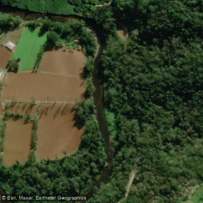
Rio Nhundiaquara
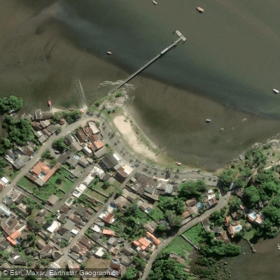
Ponta da Pita
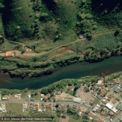
Rio Ribeira
Praia do Gomes
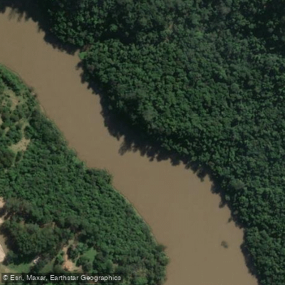
Rio Tibagi
Rio Piraquara
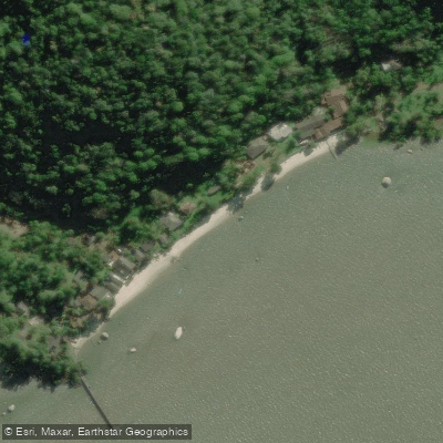
Ilha de Europinha
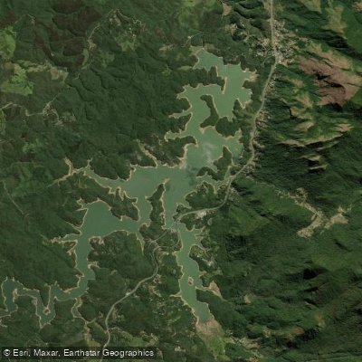
Represa Capivari
Explore Paraná waters
Top paddling waters
No waters available right now.
Popular Cities
Loading popular cities...
Explore near Rio Açungui

Smarter Paddling Starts in the App.
Paddleways gives you everything you need to plan smarter, paddle better, and own every trip from first launch to takeout.