Paddling in Parque Nacional do Jaú
- National Park
- Lakes
- 20
- Rivers
- 148
- Access
- 0
- Boat Ramps
- 0
- Shops
- 0
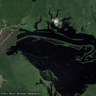
Parque Nacional do Jaú sits in the state of Amazonas, Brazil, protecting the entire drainage basin of a single blackwater river system — one of the largest such basins on the planet.
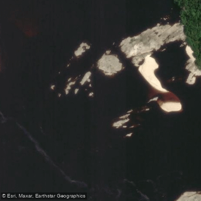
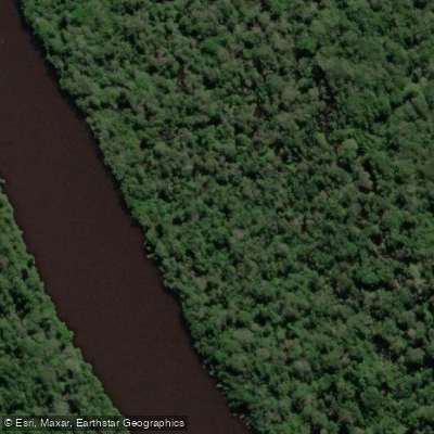
The park's water is the defining feature: dark, tannin-stained rivers and igarapés that reflect the forest canopy like glass, set within 2. 27 million hectares of intact Amazonian floodplain and terra firme.
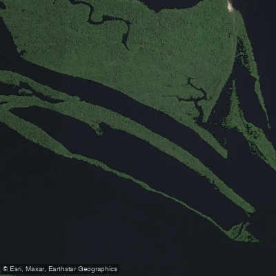
This is flatwater country, shaped by seasonal flood pulses rather than gradient. The Rio Jaú is the park's central waterway — the reason the park exists.
A blackwater tributary of the Rio Negro, it drains nearly the entire park from west to east before meeting the Rio Negro at the park's eastern boundary.
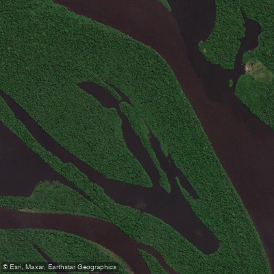
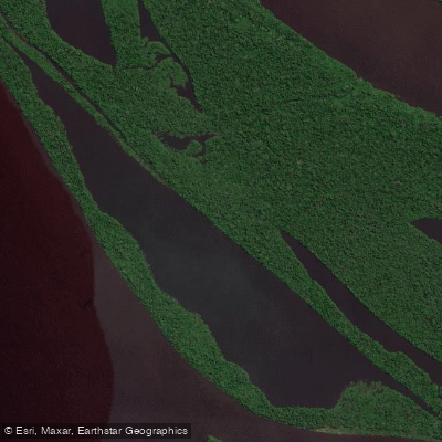
The Rio Negro itself forms that eastern edge, one of the great Amazonian rivers, wide and slow and the color of strong tea. Paddling it means reading wind and current on open water that can run wide enough to feel like a lake crossing.
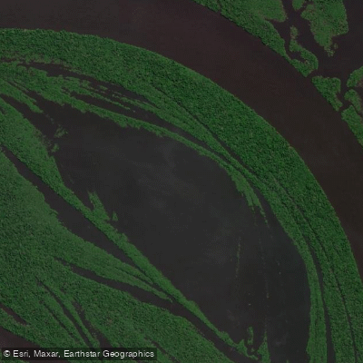
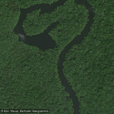
The Rio Carabinani marks the southern limit; the Rios Unini and Paunini define the north. Within the basin, the igarapés — narrow blackwater channels threading through flooded forest — are where canoe travel becomes intimate.
Igarapé Branco, Igarapé Santo Antônio, Igarapé do Pereira, Igarapé Açu, Igarapé do Bento, Igarapé Castanho, Igarapé Preto, and Igarapé do Peixe-Boi all run inside the park.
These channels are the connective tissue of any multi-day route, passable by canoe and small boat, with overhead canopy closing in and water levels that shift dramatically between seasons. Seasonal flooding governs everything.
High water expands access into flooded forest; low water concentrates travel to the main channels. Plan your timing accordingly — the difference between seasons is not just scenery, it's whether certain igarapés are navigable at all.
Access to the park comes from Novo Airão, the nearest town on the Rio Negro. Entry requires registration at the park's floating checkpoint on the Rio Jaú, and a prior permit from the park office — ICMBio administers the park — is required before you arrive.
Confirm current permit requirements directly with ICMBio before departure; rules for a protected area of this classification are not optional. Multi-day canoe travel here is remote in the full sense of the word.
There are no outfitters inside the park, no resupply points, and no easy exit if conditions change.
The paddling itself is not technical — no significant whitewater, no portages — but the logistics demand the same discipline as any serious wilderness river trip. The Rio Jaú doesn't ask much of your paddle skills. It asks everything else.
Water and weather conditions (10 day forecast)
See the best times to paddle Parque Nacional do Jaú and check the forecast before you go.
No forecast data available.
Paddle smarter with real-time insights
Whether you're en route and conditions shift or you're looking for the best spot based on current flows, we enable you to make informed decisions on the fly.







Paddling near Parque Nacional do Jaú
Loading...
Gateway towns
Where to base yourself for paddling in Parque Nacional do Jaú.
- Novo AirãoAmazonas
The main gateway town on the park's eastern edge, with boat launches, guides, and outfitters serving the park.
- BarcelosAmazonas
A river town within the park's municipal boundaries, used as a base for expeditions into the park's northern reaches.
- ManausAmazonas
The regional hub where most multi-day park expeditions depart by boat, with the widest range of tour operators and logistics.
Explore Parque Nacional do Jaú
Top paddling waters
Popular Cities
Loading popular cities...

Smarter Paddling Starts in the App.
Paddleways gives you everything you need to plan smarter, paddle better, and own every trip from first launch to takeout.