Rio Paranhana
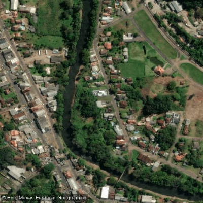
Rio Paranhana
- Boat Ramps
- 0
- Access Points
- 0
- Campsites
- 1
The Rio Paranhana flows through the state of Rio Grande do Sul in southern Brazil, passing through the municipality of Três Coroas before eventually joining the Rio dos Sinos. Três Coroas sits in the Rio Paranhana valley at an average altitude of 56 meters and lies approximately 90 km from Porto Alegre, making the river reasonably accessible from the state capital via the RS-115 and RS-020 highways.
The river has an established reputation as a paddling destination. Brasil Raft Park, located in the Linha Café district of Três Coroas, operates along the riverbank and offers rafting and kayaking among its activities, set within Atlantic Forest surroundings. A second commercial operation, Raft Adventure, is also situated in the municipality. The river has hosted competitive paddling at an international level — a Pan American Canoe Slalom and Kayak Cross event took place at Três Coroas in April 2023, indicating the river carries sufficient gradient and flow to support technical whitewater disciplines.
The regional climate is humid subtropical, classified as Cfa/Cfb under the Köppen system, with an average annual temperature of 20°C and approximately 2,000 mm of rainfall per year. July tends to be the wettest month, averaging around 157 mm of precipitation. Paddlers planning trips should factor in seasonal rainfall patterns, as higher precipitation months are likely to affect river levels and flow character.
The broader area around Três Coroas includes Parque das Laranjeiras and the Chagdud Gonpa Khadro Ling temple, which is open to the public and set in the surrounding hills. The municipality's economy includes ecotourism alongside its shoe manufacturing industry, and the river is considered one of the town's primary natural attractions.
Water access, boat ramps & amenities
Learn how to get on Rio Paranhana. Uncover great paddling access points, boat ramps, and all the facilities you need for an unforgettable day on the water. Some locations shown may border or include private property. Always check property boundaries and applicable regulations before visiting. PaddleWays's Public & Private Land layer can help you plan your access with confidence.
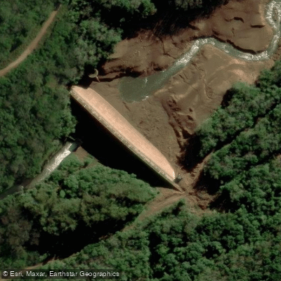
Paddle smarter with real-time insights
Whether you're en route and conditions shift or you're looking for the best spot based on current flows, we enable you to make informed decisions on the fly.







Rio Grande Do Sul licenses and regulations
No licenses or regulations available for Rio Grande Do Sul.
Find Places to Paddle

Over 400,000 Places to Paddle
Every user gets free access to launch points, boat ramps, and public property parcels.


Water and weather conditions (10 day forecast)
See the best times to paddle Rio Paranhana and check the forecast before you go.
Uhe Bugres Jusante
All Flow Stations
Paddling near Rio Paranhana
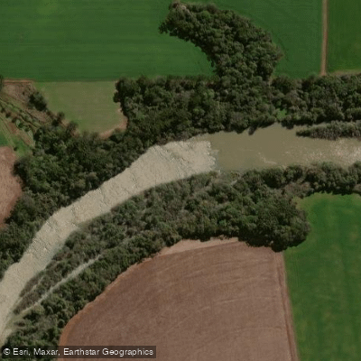
Rio Jacuí

Rio Guaíba
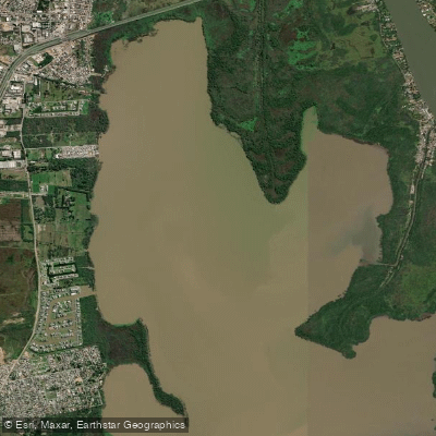
Saco de Santa Cruz
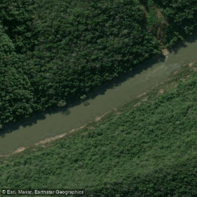
Rio das Antas
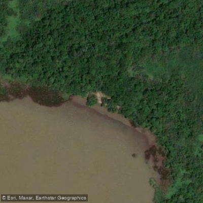
Prainha
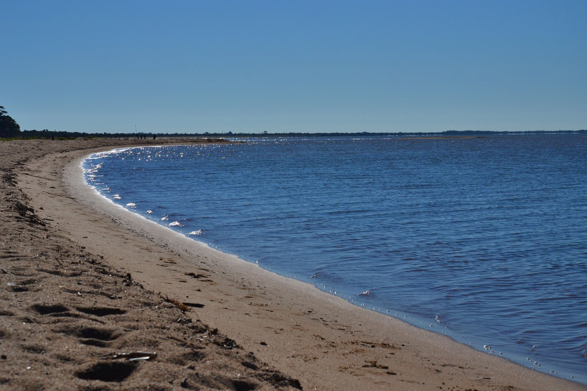
Lagoa Dos Patos
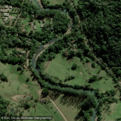
Rio da Ilha
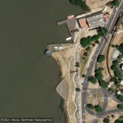
Prainha do Gasômetro
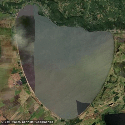
Lagoa Dos Barros
Explore Rio Grande Do Sul waters
Top paddling waters
No waters available right now.
Popular Cities
Loading popular cities...
Explore near Rio Paranhana
Access points
Nearby waters
More in Rio Grande Do Sul

Smarter Paddling Starts in the App.
Paddleways gives you everything you need to plan smarter, paddle better, and own every trip from first launch to takeout.