Rio Tres Forquilhas
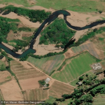
Rio Tres Forquilhas
- Boat Ramps
- 0
- Access Points
- 0
- Campsites
- 0
The Rio Três Forquilhas is a river in the northern coastal region of Rio Grande do Sul, originating near São Francisco de Paula at an elevation of approximately 1,060 meters and flowing down through the municipalities of Três Forquilhas, Itati, and Terra de Areia before emptying into Lagoa Itapeva, one of the larger bodies of water in this part of the state. The river's name reflects its geography: it receives three tributary streams — Arroio Laranjeiras, Arroio Três Pinheiros, and Arroio da Colônia — that join it in a fork-like pattern across the valley. Additional tributaries include Arroio Colônia, Arroio da Marcola, Arroio do Padre, Arroio Pedra Branca e Barreiro, Arroio Bananeiras, Arroio Barata, Arroio Carvalho, and Arroio do Pinto. The river has calm, cold water and passes through Atlantic Forest vegetation along its banks.
A commercially offered kayak tour covers approximately 5.5 kilometers of the river over roughly three hours. The route begins on the Chapéu River — where a steamboat port operated in the 1920s — and proceeds through narrow channels before reaching the main course of the Rio Três Forquilhas, concluding near the BR 101 road in Três Forquilhas. The meeting point for this tour is Sítio Lima e Silva on Rua Morro do Chapéu, and a return transfer to the starting point is available for a small fee. Guides on the organized tour speak Spanish and Portuguese, and equipment including kayaks, paddles, and life jackets is provided.
Independent paddlers can also rent kayaks, paddles, and life jackets by the hour at Sítio Lima e Silva, which sits on the riverbank near the town center. The site also offers pedal boats, a small fishing deck, barbecue facilities, fruit trees, and accommodation options including house rental and camping. The river supports trahira, pearl cichlid, and channel catfish among other species. The surrounding landscape includes the Morro do Chapéu, a prominent hillside feature visible from the river corridor.
Water access, boat ramps & amenities
Learn how to get on Rio Tres Forquilhas. Uncover great paddling access points, boat ramps, and all the facilities you need for an unforgettable day on the water. Some locations shown may border or include private property. Always check property boundaries and applicable regulations before visiting. PaddleWays's Public & Private Land layer can help you plan your access with confidence.
Paddle smarter with real-time insights
Whether you're en route and conditions shift or you're looking for the best spot based on current flows, we enable you to make informed decisions on the fly.







Rio Grande Do Sul licenses and regulations
No licenses or regulations available for Rio Grande Do Sul.
Find Places to Paddle

Over 400,000 Places to Paddle
Every user gets free access to launch points, boat ramps, and public property parcels.


Water and weather conditions (10 day forecast)
See the best times to paddle Rio Tres Forquilhas and check the forecast before you go.
Itati
All Flow Stations
Paddling near Rio Tres Forquilhas
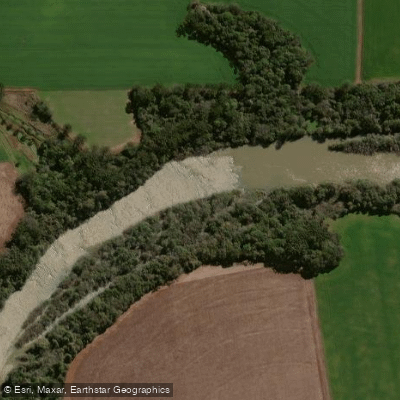
Rio Jacuí

Rio Guaíba
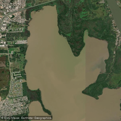
Saco de Santa Cruz
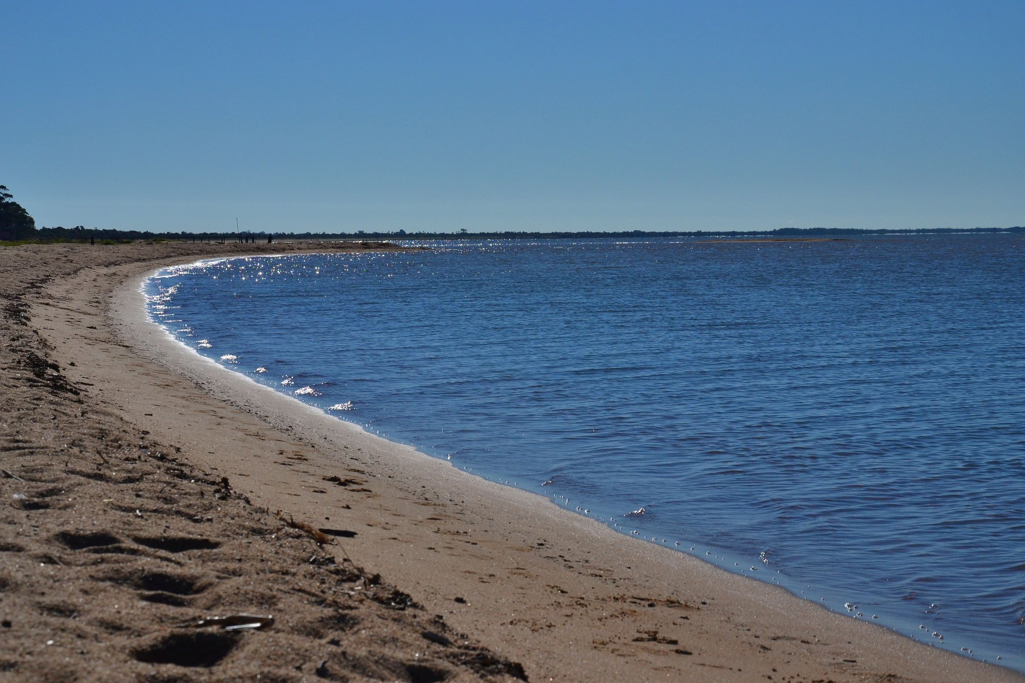
Lagoa Dos Patos
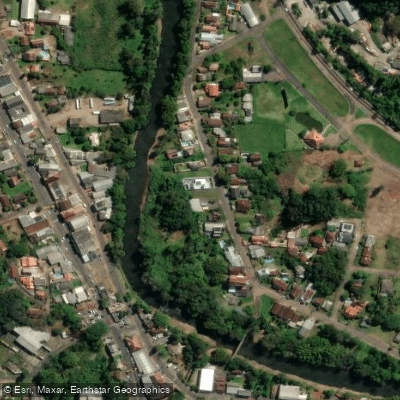
Rio Paranhana
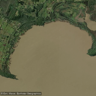
Saco do Cego
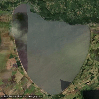
Lagoa Dos Barros
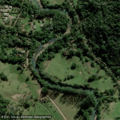
Rio da Ilha
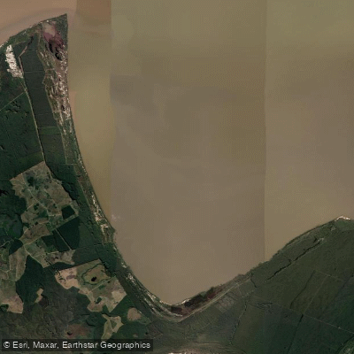
Saco do Pinho
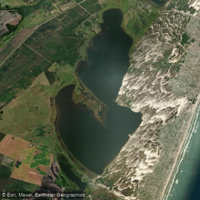
Lagoa Da Rondinha
Explore Rio Grande Do Sul waters
Top paddling waters
No waters available right now.
Popular Cities
Loading popular cities...
Explore near Rio Tres Forquilhas

Smarter Paddling Starts in the App.
Paddleways gives you everything you need to plan smarter, paddle better, and own every trip from first launch to takeout.