Kakwa River
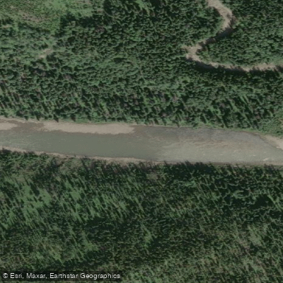
Kakwa River
- Boat Ramps
- 0
- Access Points
- 0
- Campsites
- 1
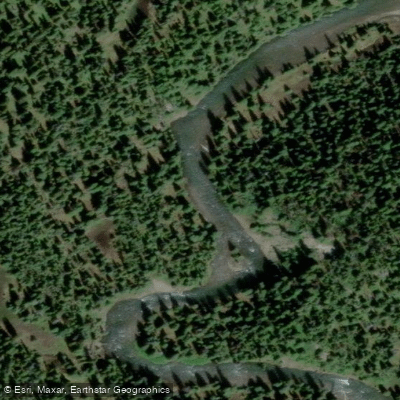
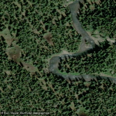
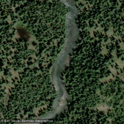
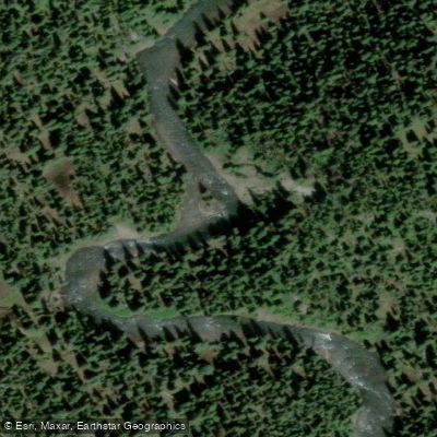
The Kakwa River originates at Kakwa Lake in British Columbia at an elevation of approximately 1,495 metres and flows east into Alberta, dropping steadily before joining the Smoky River at roughly 670 metres elevation. The lower section, from the Highway 40 bridge to the Smoky River confluence and then downstream to the Canfor Bridge, covers approximately 90 kilometres and represents one of Alberta's more demanding remote whitewater runs in the northern foothills of the Rocky Mountains.
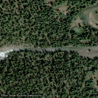
The standard put-in is at the Highway 40 bridge over the Kakwa River, roughly 85 kilometres north of Grande Cache. Kakwa River Provincial Recreation Area sits at this bridge crossing and includes a small campground with unserviced sites, pit toilets, and a hand-pump water source, making it a practical staging point. The take-out is at the Canfor Bridge on the Smoky River, approximately 30 kilometres south of Grande Prairie. A vehicle shuttle between the two points is required.
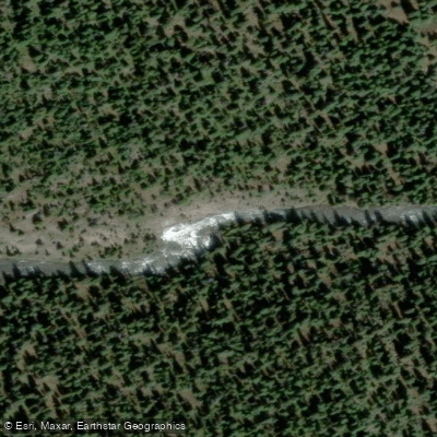
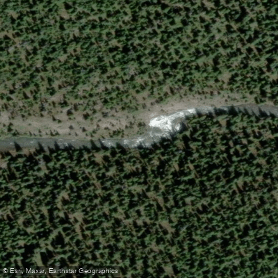
The trip begins with a mellow float that builds into grade I-II rapids. Around the 25-kilometre mark, roughly three to four hours in, paddlers reach Little Kakwa Falls, a grade IV drop identifiable by a quickening current, a sharp left turn, a steep gravel bank on river left, and a large gravel bar on river right. Many groups camp here. Below the falls, the river sustains grade II+ to III+ big water with haystacks, holes, and log jams in corners. Watch for a small creek entering from river left down a steep canyon wall; this section contains surfable waves and eddy lines. The Kakwa then meets the Smoky River, where the confluence itself is notably rough. From the confluence, there is approximately four hours of grade I-II paddling to the take-out, with the exception of grade III-IV water where the Smoky meets the Cutbank River. A large orange train bridge overhead indicates the take-out is still some distance away; the Smoky Flats Recreation Area on river right is the correct landing. Passing under a one-way logging bridge means the take-out has been missed by approximately one kilometre.
Water levels significantly affect the character of the trip. High spring runoff intensifies rapids and increases scouting and portaging time, with parties reporting three to four days at high water versus as little as a day and a half at lower flows. Rafting operators run the route as a three-day trip. There is no road access or cell service once on the water, and topographic maps and a compass are considered essential.
Water access, boat ramps & amenities
Learn how to get on Kakwa River. Uncover great paddling access points, boat ramps, and all the facilities you need for an unforgettable day on the water. Some locations shown may border or include private property. Always check property boundaries and applicable regulations before visiting. PaddleWays's Public & Private Land layer can help you plan your access with confidence.
Paddle smarter with real-time insights
Whether you're en route and conditions shift or you're looking for the best spot based on current flows, we enable you to make informed decisions on the fly.







Ab licenses and regulations
No licenses or regulations available for Ab.
Find Places to Paddle

Over 400,000 Places to Paddle
Every user gets free access to launch points, boat ramps, and public property parcels.


Water and weather conditions (10 day forecast)
See the best times to paddle Kakwa River and check the forecast before you go.
KAKWA RIVER AT HIGHWAY NO. 40
Explore Ab waters
Top paddling waters
No waters available right now.
Popular Cities
Loading popular cities...
Explore near Kakwa River
Access points
More in Ab

Smarter Paddling Starts in the App.
Paddleways gives you everything you need to plan smarter, paddle better, and own every trip from first launch to takeout.