Smoky River
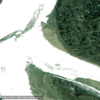
Smoky River
- Boat Ramps
- 0
- Access Points
- 0
- Campsites
- 2
The Smoky River is a major river in western Alberta, originating at Adolphus Lake in the northern area of Jasper National Park at an elevation of 1,680 metres. From there it flows northeast through Willmore Wilderness Park, past the hamlet of Grande Cache, continues north through Watino, and eventually merges with the Peace River south of the Town of Peace River — a total length of 492 kilometres with an average discharge of approximately 347–375 cubic metres per second. The river drains a watershed of 50,300 square kilometres.
The character of the river changes considerably along its length. The upper reaches through the mountains and foothills offer more technical paddling, with rougher water and larger rocks as you move upstream toward Grande Cache. The Sulphur River merges with the Smoky at the Sulphur Gates, and from that confluence downstream the river transitions to relatively flat water through the Smoky River valley. The 85-kilometre stretch from McLeod Flats (formerly Smoky Flats, located roughly half an hour south of Grande Prairie via Highway 40 and the Canfor haul road) to the Highway 43 bridge is a popular multi-day route, manageable as a two-day trip but more comfortably done over three days. Paddlers on this stretch report that the river can get tricky in places despite its generally moderate character.
The lower section from Watino to the Peace River covers approximately 78 kilometres with a 60-metre elevation drop and takes one to two days. Below the Watino bridge, sandstone cliffs rise to heights of 180 metres, with occasional hoodoo formations. Vegetation along this stretch consists mainly of birch and poplar with occasional spruce. Numerous sandbars provide good camping spots. The river narrows in places and gains speed in this section, offering more engaging paddling for novice paddlers.
Wildlife along the river corridor is diverse. The upper mountain reaches provide winter and spring range for elk, moose, and bighorn sheep, with woodland caribou, wolves, and wolverines also present. Deer, bear, and beaver appear farther downstream. Waterfowl are common throughout, and eagles and hawks can be spotted. Fish species in the upper reaches include Dolly Varden, arctic grayling, and Rocky Mountain whitefish.
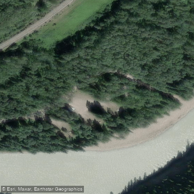
Access points include the boat launch at McLeod Flats campground and the Highway 43 bridge. Guided paddle tours and shuttle services on the Smoky River are available through at least one outfitter operating in the Peace River area.
Water access, boat ramps & amenities
Learn how to get on Smoky River. Uncover great paddling access points, boat ramps, and all the facilities you need for an unforgettable day on the water. Some locations shown may border or include private property. Always check property boundaries and applicable regulations before visiting. PaddleWays's Public & Private Land layer can help you plan your access with confidence.
Paddle smarter with real-time insights
Whether you're en route and conditions shift or you're looking for the best spot based on current flows, we enable you to make informed decisions on the fly.







Ab licenses and regulations
No licenses or regulations available for Ab.
Find Places to Paddle

Over 400,000 Places to Paddle
Every user gets free access to launch points, boat ramps, and public property parcels.


Water and weather conditions (10 day forecast)
See the best times to paddle Smoky River and check the forecast before you go.
SMOKY RIVER ABOVE HELLS CREEK
All Flow Stations
Explore Ab waters
Top paddling waters
No waters available right now.
Popular Cities
Loading popular cities...
Explore near Smoky River
Access points
More in Ab

Smarter Paddling Starts in the App.
Paddleways gives you everything you need to plan smarter, paddle better, and own every trip from first launch to takeout.