Fraser Mtn. Trail
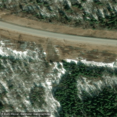
Fraser Mtn. Trail
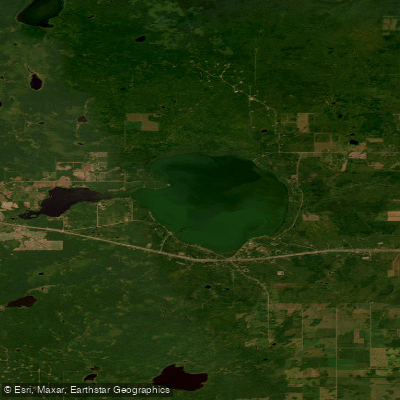
The Fraser Mountain Trail trailhead sits just off Highway 16, approximately 14. 6 km east of the Fraser Lake Tourist Information Centre.
Drivers turn south off the highway into a small parking area that holds a half-dozen or more vehicles; the turnoff is easy to miss, as it sits on a corner, so care is advised when approaching.
The trail itself is steep with rocky sections, making sturdy hiking shoes a practical necessity. It begins to the left of the parking lot and is marked with orange diamonds.
Hikers can also access the route by driving Fraser Mountain Road as far as conditions allow, then continuing on foot to the summit lookout tower. The climb takes a couple of hours and rewards visitors with broad views of the surrounding landscape.
Nearby points of interest
Find excellent paddling spots, easy access to boat ramps, and all the amenities you need for a memorable day. Your adventure starts here.
Water and weather conditions (10 day forecast)
Check the forecast at Fraser Mtn. Trail before you go paddling.
No forecast data available.
Bc licenses and regulations
Explore Bc waters
Top paddling waters
No waters available right now.
Popular Cities
Loading popular cities...
Explore near Fraser Mtn. Trail

Smarter Paddling Starts in the App.
Paddleways gives you everything you need to plan smarter, paddle better, and own every trip from first launch to takeout.