Grass River
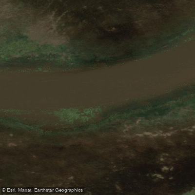
Grass River
- Boat Ramps
- 2
- Access Points
- 0
- Campsites
- 3
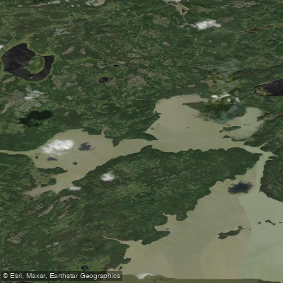
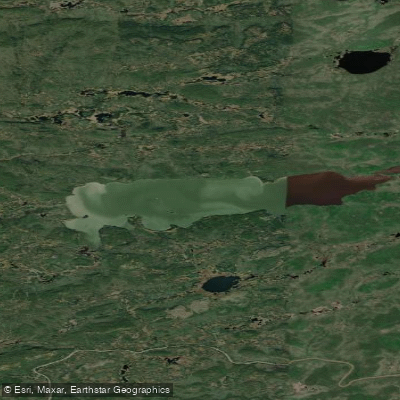
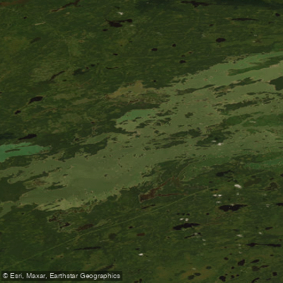
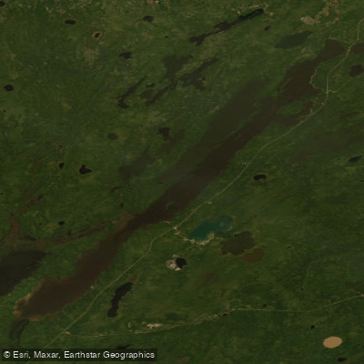
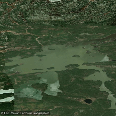
The Grass River in Manitoba is a historic canoe route running through the boreal forest of northern Manitoba, flowing generally west to east through Grass River Provincial Park and beyond. The park itself covers 2,279 km² and sits at the contact zone between the boreal forest and the Manitoba lowlands. The full route forms a 570-kilometre network of lakes and rivers beginning at Simonhouse Lake and following the Grass River to its confluence with the Nelson River, though most paddlers tackle shorter sections.
The most commonly paddled section runs from Cranberry Portage to Wekusko Falls, a distance of approximately 176 to 190 kilometres that typically takes about one week. Extending the trip to Paint Lake southeast of Thompson adds up to roughly 370 kilometres and requires approximately two weeks. The full fur-trade route from Cranberry Portage to Split Lake takes around three weeks. Count on at least 8 portages to reach Wekusko Lake and approximately 23 to reach Paint Lake, with an average portage length of around 200 metres. The park is accessed via Highway 10 near Cranberry Portage and Highway 39, which provides access to the Gyles, Iskwasum, and Reed Lake campgrounds.
The route is explicitly not recommended for novice paddlers. Long open-water crossings, stretches of fast water, and significant distances between developed areas demand strong technical skills, wilderness experience, and self-sufficiency. Topographic maps are recommended, and a dedicated canoe route map with historical notes is available through Canada Map Sales.
The route passes through a landscape of waterfalls, rapids, fast currents, and lakes. Notable features include the ancient Indigenous pictographs at Tramping Lake, where images of people, animals, and objects were painted in red ochre on rock faces at near-waterline height — believed to have been created by artists seated in canoes. The route also connects to Wekusko Falls Provincial Park and Paint Lake Provincial Park. Wildlife along the river includes woodland caribou, moose, lynx, and concentrations of wildflowers. Fishing for walleye and northern pike is abundant throughout the park.
The Grass River corridor has been travelled by Indigenous canoeists for approximately 5,000 years and served as a key waterway in the late 1700s fur trade route known as the Upper Track. Serviced campgrounds and wilderness campsites are distributed along the route, with multiple put-in and take-out points available.
Water access, boat ramps & amenities
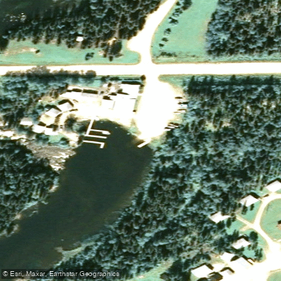
Learn how to get on Grass River. Uncover great paddling access points, boat ramps, and all the facilities you need for an unforgettable day on the water. Some locations shown may border or include private property. Always check property boundaries and applicable regulations before visiting. PaddleWays's Public & Private Land layer can help you plan your access with confidence.
Paddle smarter with real-time insights
Whether you're en route and conditions shift or you're looking for the best spot based on current flows, we enable you to make informed decisions on the fly.







Mb licenses and regulations
No licenses or regulations available for Mb.
Find Places to Paddle

Over 400,000 Places to Paddle
Every user gets free access to launch points, boat ramps, and public property parcels.


Water and weather conditions (10 day forecast)
See the best times to paddle Grass River and check the forecast before you go.
GRASS RIVER ABOVE STANDING STONE FALLS
Explore Mb waters
Top paddling waters
No waters available right now.
Popular Cities
Loading popular cities...
Explore near Grass River

Smarter Paddling Starts in the App.
Paddleways gives you everything you need to plan smarter, paddle better, and own every trip from first launch to takeout.