Setting Lake
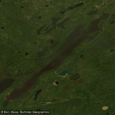
Setting Lake
- Boat Ramps
- 0
- Access Points
- 0
- Campsites
- 1
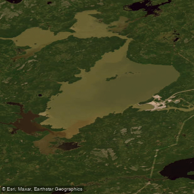
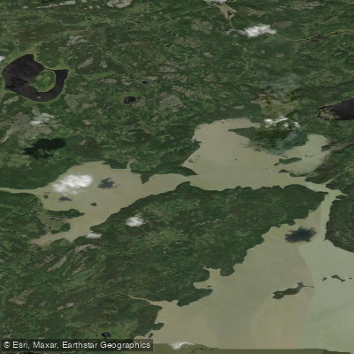
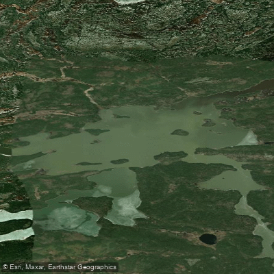
Setting Lake is located in northern Manitoba and forms a key segment of the popular Grass River canoe route, which runs between Wekusko Falls and Pisew Falls. The lake sits along a 175-kilometre route that typically takes six days to paddle and is rated mostly Class 2 with falls. Setting Lake is reached after paddling the upper Grass River section from Wekusko Lake, a stretch characterized by a series of waterfalls and rapids, nearly all of which require portaging.
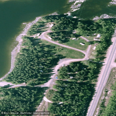
The lake has road access, a lodge, a cottage development, and two government campsites, making it one of the more accessible points along the Grass River route. Paddlers seeking a more remote experience are advised to stick to the west shore of the lake, where development is less visible. The lake also serves as an alternate access point for those joining or leaving the Grass River route mid-trip.
Of historical and cultural interest, there is an old Hudson's Bay Company post located on Setting Lake. Petroglyphs can be found towards the south end of the long, narrow section of the lake, situated on the west shore. The Grass River corridor as a whole is noted for abundant wildlife, including eagles and beaver.
The overall character of Setting Lake within the Grass River route is that of a transitional open-water section connecting river segments. The route is described as suitable for both novice and experienced paddlers, though the falls and rapids sections require careful navigation and portaging. The 13 portages along the full route include an 800-pace portage on the east side of one of the falls between Phillips and Paint Lake; some rapids can be run by experienced canoeists while others must be portaged. Topographic maps covering the Setting Lake area include sheets 63 J/12 through J/15 and 63 O/2 and O/1. The Manitoba government's Grass River canoe route brochure is also a recommended planning resource.
Water access, boat ramps & amenities
Learn how to get on Setting Lake. Uncover great paddling access points, boat ramps, and all the facilities you need for an unforgettable day on the water. Some locations shown may border or include private property. Always check property boundaries and applicable regulations before visiting. PaddleWays's Public & Private Land layer can help you plan your access with confidence.
Paddle smarter with real-time insights
Whether you're en route and conditions shift or you're looking for the best spot based on current flows, we enable you to make informed decisions on the fly.







Mb licenses and regulations
No licenses or regulations available for Mb.
Find Places to Paddle

Over 400,000 Places to Paddle
Every user gets free access to launch points, boat ramps, and public property parcels.


Water and weather conditions (10 day forecast)
See the best times to paddle Setting Lake and check the forecast before you go.
SETTING LAKE ABOVE SASAGIU RAPIDS
Explore Mb waters
Top paddling waters
No waters available right now.
Popular Cities
Loading popular cities...
Explore near Setting Lake
Access points
Nearby waters
More in Mb

Smarter Paddling Starts in the App.
Paddleways gives you everything you need to plan smarter, paddle better, and own every trip from first launch to takeout.