Wuskwatim Lake
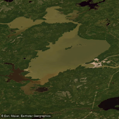
Wuskwatim Lake
- Boat Ramps
- 0
- Access Points
- 0
- Campsites
- 0
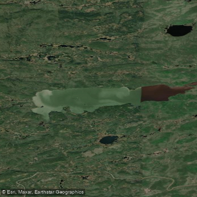
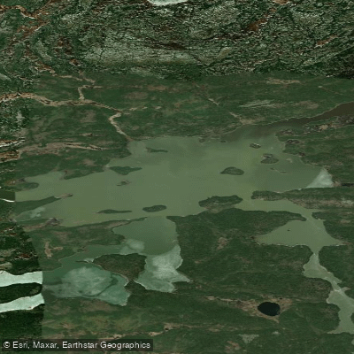
Wuskwatim Lake is located in northern Manitoba and sits along established paddling routes on the Burntwood River system, connecting Thompson to Southern Indian Lake and ultimately the Churchill River. The lake appears in route descriptions that include notable features such as Wuskwatim Falls and Taskinigup Falls downstream, placing it within a broader wilderness corridor used by paddlers traversing the region.
Access to the Wuskwatim Lake area was historically limited due to remote terrain, though a roughly 48-kilometre access road was constructed from Provincial Road 391 to the lake as part of the Wuskwatim Generation Project. This road has improved access for those approaching overland.
The most significant hazard for paddlers in this area is the Wuskwatim Generating Station and its associated dam on the Burntwood River. The portage around the dam is described as fairly long, on the order of a few kilometres. Manitoba Hydro workers at the site have been known to assist paddlers with portaging using trucks, and at least one Hydro employee has indicated that the company is legally obligated to provide such assistance to the public. Paddlers are advised to seek out Hydro staff at the dam site if portaging assistance is needed.
The lake holds cultural and historical significance to the Nisichawayasihk Cree Nation (NCN), whose traditional territory encompasses the area. The region has a history of use for trapping and resource harvesting, and the northwest shore of the lake was the site of a historical settlement.
Wuskwatim Lake is part of longer multi-day wilderness routes rather than a standalone day-trip destination, and paddlers should plan accordingly for the remote character of the surrounding landscape.
Water access, boat ramps & amenities
Learn how to get on Wuskwatim Lake. Uncover great paddling access points, boat ramps, and all the facilities you need for an unforgettable day on the water. Some locations shown may border or include private property. Always check property boundaries and applicable regulations before visiting. PaddleWays's Public & Private Land layer can help you plan your access with confidence.
Paddle smarter with real-time insights
Whether you're en route and conditions shift or you're looking for the best spot based on current flows, we enable you to make informed decisions on the fly.







Mb licenses and regulations
No licenses or regulations available for Mb.
Find Places to Paddle

Over 400,000 Places to Paddle
Every user gets free access to launch points, boat ramps, and public property parcels.


Water and weather conditions (10 day forecast)
See the best times to paddle Wuskwatim Lake and check the forecast before you go.
WUSKWATIM LAKE NEAR THOMPSON
All Flow Stations
Explore Mb waters
Top paddling waters
No waters available right now.
Popular Cities
Loading popular cities...
Explore near Wuskwatim Lake

Smarter Paddling Starts in the App.
Paddleways gives you everything you need to plan smarter, paddle better, and own every trip from first launch to takeout.