Lake of the Prairies
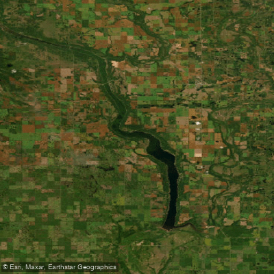
Lake of the Prairies
- Boat Ramps
- 0
- Access Points
- 0
- Campsites
- 2
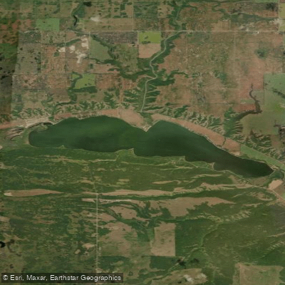
Lake of the Prairies is a man-made reservoir stretching 67 kilometres in length, located near the Manitoba/Saskatchewan border in the parkland region of western Manitoba. It was created in 1968 following the construction of the Shellmouth Dam on the Assiniboine River. The lake sits west of Inglis, south of Roblin, and north of Russell, making it one of the larger lakes in the western half of the province and a prominent recreation destination in the region.
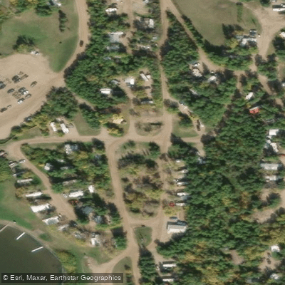
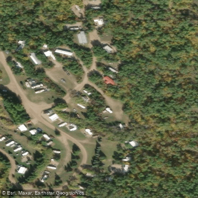
Asessippi Provincial Park occupies the southern section of the lake, with approximately 6 kilometres of the lake falling within park boundaries. The park serves as a primary launching point for water activities and includes a government campground, a public boat launch, and a fishing dock. Additional access points and amenities are available at private facilities including Ricker's Campground, Lost Meadows Resort, and Sunset Valley Resort, the latter of which operates a boat launch with daily ($10) and seasonal ($100) rates, dock access, parking, and a fillet shack. Canoe and boat rentals are available on the lake.
The lake supports fishing for walleye, northern pike, and perch, which means paddlers will share the water with motorized fishing boats and recreational watercraft engaged in water skiing and windsurfing. Paddlers looking for quieter river experiences can use the lake as a base for exploring the Assiniboine and Shell Rivers, the two rivers that feed the reservoir and shaped the valleys of the region during glaciation.
The lake is described as a popular destination for a range of water sports, so paddlers should expect boat traffic, particularly during summer months. Canoe rentals are available locally for those without their own equipment. The surrounding parkland region also offers birding opportunities, adding a natural history dimension to time spent on the water.
Water access, boat ramps & amenities
Learn how to get on Lake of the Prairies. Uncover great paddling access points, boat ramps, and all the facilities you need for an unforgettable day on the water. Some locations shown may border or include private property. Always check property boundaries and applicable regulations before visiting. PaddleWays's Public & Private Land layer can help you plan your access with confidence.
Paddle smarter with real-time insights
Whether you're en route and conditions shift or you're looking for the best spot based on current flows, we enable you to make informed decisions on the fly.







Mb licenses and regulations
No licenses or regulations available for Mb.
Find Places to Paddle

Over 400,000 Places to Paddle
Every user gets free access to launch points, boat ramps, and public property parcels.


Water and weather conditions (10 day forecast)
See the best times to paddle Lake of the Prairies and check the forecast before you go.
LAKE OF THE PRAIRIES NEAR SHELLMOUTH
All Flow Stations
Paddling near Lake of the Prairies

Explore Mb waters
Top paddling waters
No waters available right now.
Popular Cities
Loading popular cities...
Explore near Lake of the Prairies

Smarter Paddling Starts in the App.
Paddleways gives you everything you need to plan smarter, paddle better, and own every trip from first launch to takeout.