Assiniboine River
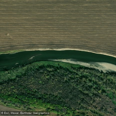
Assiniboine River
- Boat Ramps
- 1
- Access Points
- 0
- Campsites
- 2
The Assiniboine River is a 1,070-kilometre meandering river running through the prairies of Saskatchewan and Manitoba, ultimately joining the Red River at The Forks in Winnipeg. In Manitoba, it is a typical single-channel river with a flat, shallow valley in some sections and a steep valley in others. The river winds past sandy cliffs, wide meanders, and riverbank greenspaces, and supports a diverse fish population including walleye, northern pike, yellow perch, channel catfish, burbot, and common carp.
The river offers paddling opportunities across a wide range of skill levels and locations. In Brandon, the Riverbank Discovery Centre operates the Assiniboine Canoe/Kayak Cove, a developed launch facility that takes advantage of a river inlet created by floods in 2011 and 2014. Kayak and canoe rentals are available there during summer months, Monday through Friday from 8:30 a.m. to 6:30 p.m. and Saturday through Sunday from 11 a.m. to 5 p.m., at $15 for the first hour and $10 for each additional hour, with life jackets, paddles, and safety essentials included. The gentle current near Brandon makes it suitable for beginner paddlers.
A documented route east of Brandon, known as Route 3, launches from the boat launch at Dinsdale Park near the dam or from the Kirkcaldy Drive landing and ends where Richmond Avenue meets the river, covering approximately 10 kilometres in four to five hours. The river is slow, particularly in late summer, with wide meanders. Paddlers on this stretch should be aware of Sea-Doos and motorboats sharing the water, and there is a difficult obstruction at the steam plant where a rock dam has been constructed to maintain water levels — canoes can be walked around it.
In Spruce Woods Provincial Park, located roughly 200 kilometres west of Winnipeg and just east of Brandon and Carberry, a 125-kilometre route runs from PR 340 to Highway 34 and is typically completed in three to five days. From the Stockton Ferry, paddlers can travel downstream through the park past twisting riverbanks and sandy cliffs. Boat rentals are available within the park. Further upstream, good starting points for experienced paddlers include the Saskatchewan border and Asessippi Provincial Park, where a boat launch and canoe rentals provide access to both the Assiniboine and the Shell River. Spring generally brings faster water and higher flows across the river system.
Water access, boat ramps & amenities
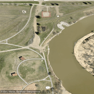
Learn how to get on Assiniboine River. Uncover great paddling access points, boat ramps, and all the facilities you need for an unforgettable day on the water. Some locations shown may border or include private property. Always check property boundaries and applicable regulations before visiting. PaddleWays's Public & Private Land layer can help you plan your access with confidence.
Paddle smarter with real-time insights
Whether you're en route and conditions shift or you're looking for the best spot based on current flows, we enable you to make informed decisions on the fly.







Mb licenses and regulations
No licenses or regulations available for Mb.
Find Places to Paddle

Over 400,000 Places to Paddle
Every user gets free access to launch points, boat ramps, and public property parcels.


Water and weather conditions (10 day forecast)
See the best times to paddle Assiniboine River and check the forecast before you go.
ASSINIBOINE RIVER AT STURGIS
All Flow Stations
Paddling near Assiniboine River
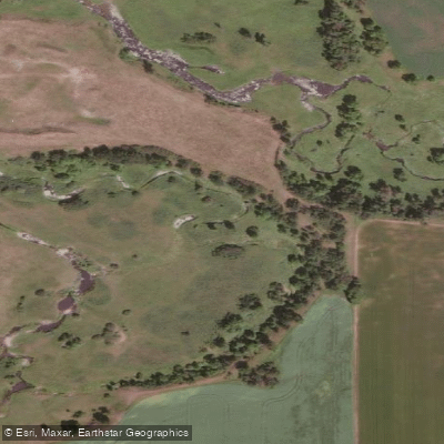
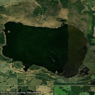
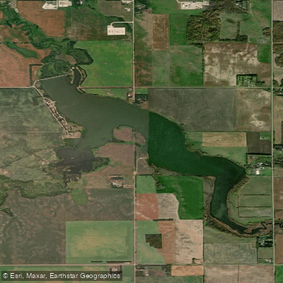
Explore Mb waters
Top paddling waters
No waters available right now.
Popular Cities
Loading popular cities...
Explore near Assiniboine River
Smarter Paddling Starts in the App.
Paddleways gives you everything you need to plan smarter, paddle better, and own every trip from first launch to takeout.