Crooked Lake
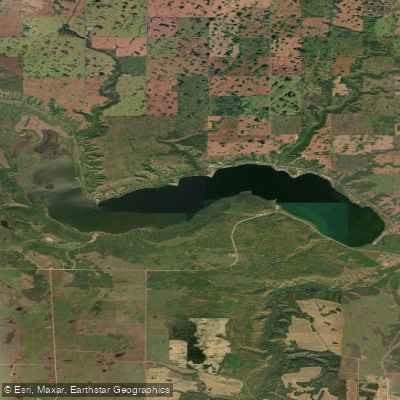
Crooked Lake
- Boat Ramps
- 0
- Access Points
- 0
- Campsites
- 2
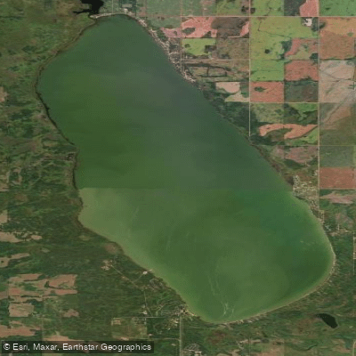
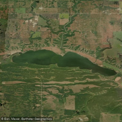
Crooked Lake is a reservoir in the Qu'Appelle Valley of southeastern Saskatchewan, situated approximately 100 km south of Yorkton and 168 km east of Regina. Part of the Fishing Lakes chain, it covers roughly 1,644.8 hectares (4,064 acres) with a maximum depth of 15 m (49 ft). The Qu'Appelle River flows in and out of the lake, and a dam at the eastern end controls water levels. Its coordinates place it at approximately 50°36′N, 102°44′W in the RM of Grayson No. 184.
Access to the lake is via Highway 247, with two boat launches available: one at Crooked Lake Provincial Park on the northeast shore and one at Sunset Beach. The provincial park also offers a fish cleaning station, sailing, and canoeing facilities, making it a practical base for paddlers. The park is located approximately 30 km north of Grenfell on Highway 47, then 16 km east on Highway 247.
The northern and eastern shores are developed, with communities including Moose Bay, Sunset Beach, Exner's Twin Bays, Melville Beach, and Grenfell Beach, along with cabins, resorts, and campgrounds. The southern and western shores are largely undeveloped, falling within First Nation reserves, which gives those stretches a noticeably quieter character. The Trans Canada Trail runs along the northern shore through the provincial park, providing a reference point for paddlers oriented to the shoreline.
Summer activities on the lake include fishing, various water sports, swimming, and paddling. The lake is noted as a popular destination in both summer and winter, with ice fishing and snowmobiling occurring in the colder months. Fishing catches of northern pike and walleye have been recorded. The Qu'Appelle Valley setting provides scenic valley views as a backdrop to paddling on the lake.
The provincial park includes modern washrooms, showers, drinking water, firewood, picnic areas, a playground, and sewage disposal, offering solid support infrastructure for multi-day paddling trips. Paddlers should be aware that as a reservoir with a controlled dam, water levels can vary. The lake sits within the Red River drainage basin.
Water access, boat ramps & amenities
Learn how to get on Crooked Lake. Uncover great paddling access points, boat ramps, and all the facilities you need for an unforgettable day on the water. Some locations shown may border or include private property. Always check property boundaries and applicable regulations before visiting. PaddleWays's Public & Private Land layer can help you plan your access with confidence.
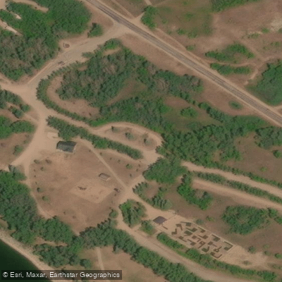
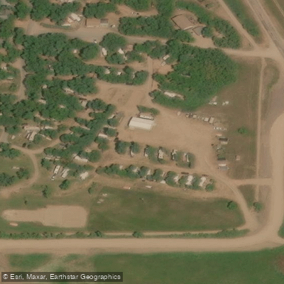
Paddle smarter with real-time insights
Whether you're en route and conditions shift or you're looking for the best spot based on current flows, we enable you to make informed decisions on the fly.








Find Places to Paddle

Over 400,000 Places to Paddle
Every user gets free access to launch points, boat ramps, and public property parcels.


Water and weather conditions (10 day forecast)
See the best times to paddle Crooked Lake and check the forecast before you go.
No forecast data available.
Paddling near Crooked Lake

Explore Sk waters
Top paddling waters
No waters available right now.
Popular Cities
Loading popular cities...
Explore near Crooked Lake

Smarter Paddling Starts in the App.
Paddleways gives you everything you need to plan smarter, paddle better, and own every trip from first launch to takeout.