Qu'Appelle River
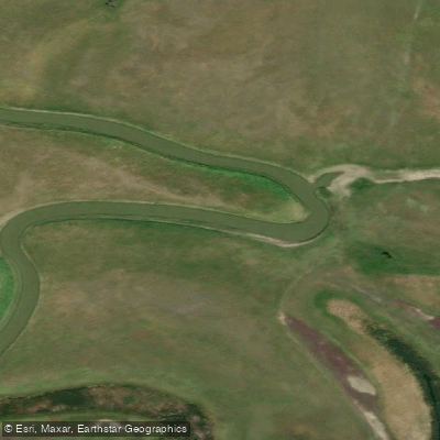
Qu'Appelle River
- Boat Ramps
- 4
- Access Points
- 0
- Campsites
- 1
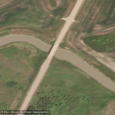
The Qu'Appelle River winds its way across southern Saskatchewan, flowing generally eastward from near Lake Diefenbaker before eventually joining the Assiniboine River at St. Lazare, Manitoba. The river is fed from Lake Diefenbaker at a dam near Douglas Provincial Park, and water levels downstream of dams such as the Buffalo Pound Dam can be noticeably lower, resulting in a slower current and shallower conditions that may require paddlers to navigate carefully to find the deepest parts of the channel. In some stretches the river becomes wide and shallow enough that paddles can jam into the soft sediment, making passage difficult in lower water years.
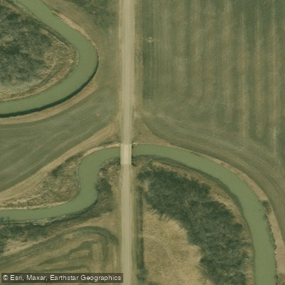
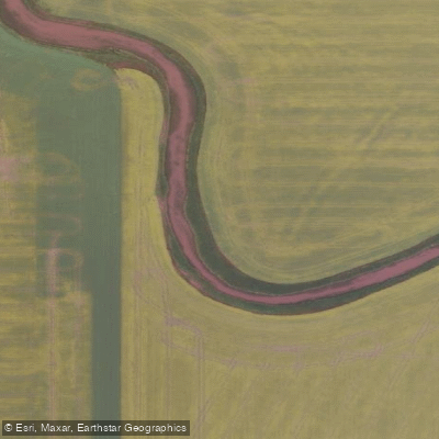
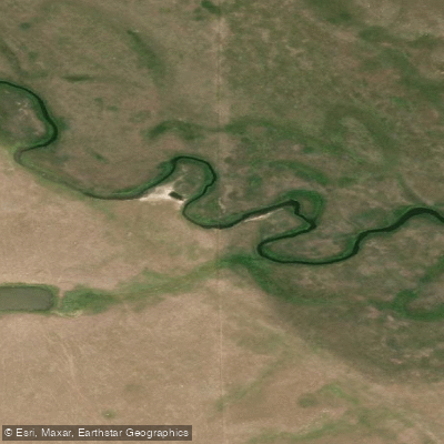
One of the river's defining characteristics is its extreme meandering. Oxbows are common throughout, and the river can fold back on itself so tightly that paddlers can see the next bend of water only a few metres away across a narrow strip of land. A mile as the crow flies can translate into an hour of paddling. Bank heights vary considerably along the route, ranging from a few feet to over 30 feet of clay banks, with landscapes shifting between grassy banks, cropland, forest, and wetlands. Wind is a persistent factor on this exposed prairie river and can be strong enough to halt forward progress even with current and paddling effort combined.
A popular beginner-friendly section runs 18.7 kilometres point-to-point between Lumsden and Craven, with no portages and an estimated paddle time of five to six hours. This route is part of The Great Trail waterway. Another option is putting in at Valeport and paddling the channel south to Craven for a half-day trip. The river passes through or near several lakes, including Pasqua Lake, Echo Lake, Buffalo Pound Lake, and Katepwa Lake, with the Qu'Appelle Valley near Fort Qu'Appelle offering boat launches at locations including the east end of Echo Lake and B-Say-Tah Point on Echo Lake's north side.
Wildlife is abundant along the river corridor. The valley carries historical and cultural significance as well, with Fort Qu'Appelle serving as a historic trading post and the Qu'Appelle–Pelly Trail having originated from the river crossing there. The full length of the river represents a multi-week paddling commitment, though most paddlers focus on shorter day or weekend sections.
Water access, boat ramps & amenities
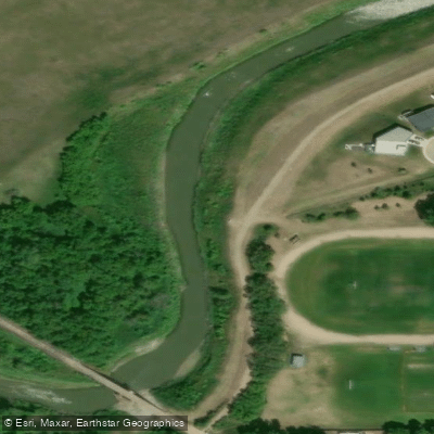
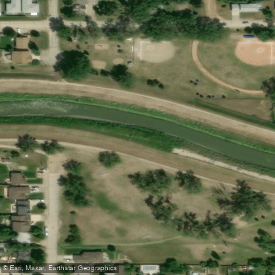
Learn how to get on Qu'Appelle River. Uncover great paddling access points, boat ramps, and all the facilities you need for an unforgettable day on the water. Some locations shown may border or include private property. Always check property boundaries and applicable regulations before visiting. PaddleWays's Public & Private Land layer can help you plan your access with confidence.
Paddle smarter with real-time insights
Whether you're en route and conditions shift or you're looking for the best spot based on current flows, we enable you to make informed decisions on the fly.








Find Places to Paddle

Over 400,000 Places to Paddle
Every user gets free access to launch points, boat ramps, and public property parcels.


Water and weather conditions (10 day forecast)
See the best times to paddle Qu'Appelle River and check the forecast before you go.
QU'APPELLE RIVER NEAR LUMSDEN
All Flow Stations
Paddling near Qu'Appelle River
Explore Sk waters
Top paddling waters
No waters available right now.
Popular Cities
Loading popular cities...
Explore near Qu'Appelle River

Smarter Paddling Starts in the App.
Paddleways gives you everything you need to plan smarter, paddle better, and own every trip from first launch to takeout.