Pembina River
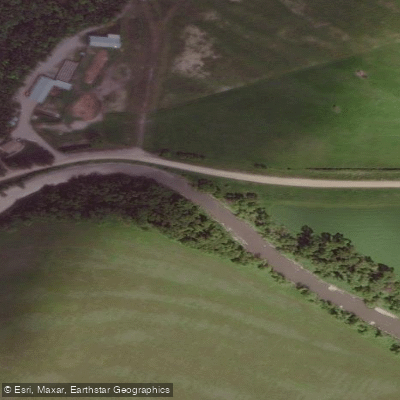
Pembina River
- Boat Ramps
- 0
- Access Points
- 0
- Campsites
- 1
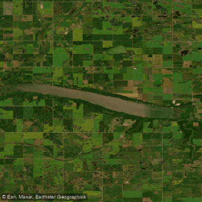
The Pembina River flows through southwestern Manitoba and offers at least one documented paddling route through agricultural farm country. A one-day trip of approximately 30 kilometres has been recorded on the river, with the put-in located 12 miles south of Manitou and the take-out at Provincial Road 31.
At a flow of around 500 cubic feet per second, recorded in early April, the route requires no portages. The surrounding landscape is characterized as farm country, reflecting the agricultural nature of this part of southwestern Manitoba.
Water access, boat ramps & amenities
Learn how to get on Pembina River. Uncover great paddling access points, boat ramps, and all the facilities you need for an unforgettable day on the water. Some locations shown may border or include private property. Always check property boundaries and applicable regulations before visiting. PaddleWays's Public & Private Land layer can help you plan your access with confidence.
Paddle smarter with real-time insights
Whether you're en route and conditions shift or you're looking for the best spot based on current flows, we enable you to make informed decisions on the fly.







Mb licenses and regulations
No licenses or regulations available for Mb.
Find Places to Paddle

Over 400,000 Places to Paddle
Every user gets free access to launch points, boat ramps, and public property parcels.


Water and weather conditions (10 day forecast)
See the best times to paddle Pembina River and check the forecast before you go.
PEMBINA RIVER NORTH OF KILLARNEY
All Flow Stations

Explore Mb waters
Top paddling waters
No waters available right now.
Popular Cities
Loading popular cities...
Explore near Pembina River
Access points
Nearby waters
More in Mb

Smarter Paddling Starts in the App.
Paddleways gives you everything you need to plan smarter, paddle better, and own every trip from first launch to takeout.