Red River
Red River
- Boat Ramps
- 4
- Access Points
- 0
- Campsites
- 2
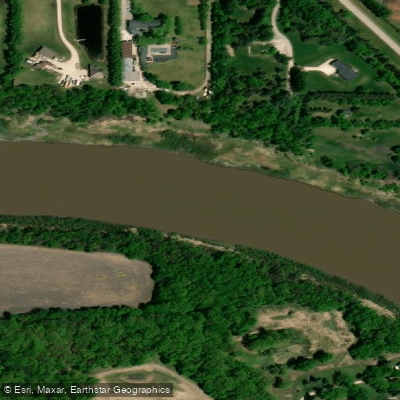
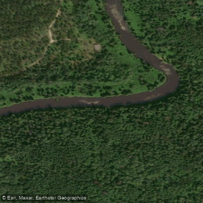
The Red River in Manitoba flows northward through the heart of the province, passing through Winnipeg before continuing toward Lake Winnipeg. The river is broadly characterized as a slow-moving, meandering waterway with a generally mild current, though water levels can rise ten to twelve feet in a matter of days during spring, creating strong currents and potential hazards around fixed infrastructure such as dams and bridges.
One of the most popular paddling routes is a 12-kilometre roundtrip through Winnipeg that begins on the smaller Seine River in St. Boniface, follows it to its confluence with the Red, then continues upstream to The Forks — the historic junction of the Red and Assiniboine rivers. This full-day route passes the ruins of St. Boniface Cathedral, Louis Riel's grave, and Fort Gibraltar in Whittier Park, a reconstruction of the original North West Company fort built at The Forks in 1810. The Forks itself serves as a natural mid-paddle stop with food and visitor services available.
North of Winnipeg, paddlers can launch at East Selkirk into Cooks Creek, which connects to portions of the Red River, offering a paddle with minimal current past eagle nests along the shoreline. A multi-day fur trade heritage route runs from the Selkirk area downstream to Lower Fort Garry, a National Historic Site, and continues to St. Peter Dynevor Church.
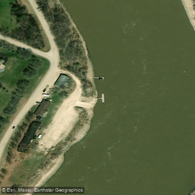
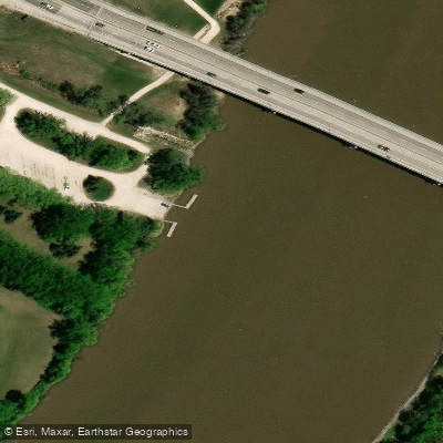
Access points along the river include St. Vital Park in Winnipeg, which features a floating dock system designed to accommodate fluctuating water levels, and a boat launch at Ste. Agathe to the south. The Scratching River Park Campground at Morris also provides launch access further south along the river.
Downstream paddling in Winnipeg can become difficult or impractical later in summer when water levels drop. Paddlers heading south of the city should be aware that some sections of the river have been channelized and lack natural character, and portages may be required, including one over Highway 59. The Red River Floodway Siphon, a U-shaped pipe carrying water under the diversion channel, requires a portage to return to the original river course. Wednesday evening group paddles are organized by Paddle Manitoba from a location on the river, indicating an active local paddling community.
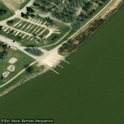
Water access, boat ramps & amenities
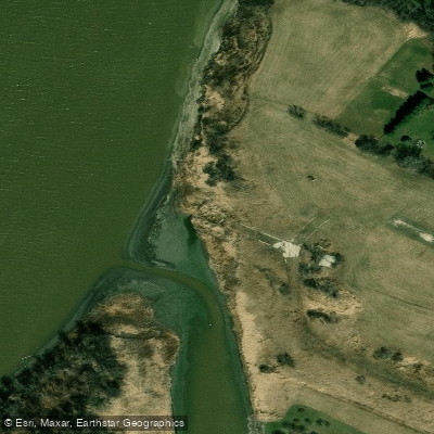
Learn how to get on Red River. Uncover great paddling access points, boat ramps, and all the facilities you need for an unforgettable day on the water. Some locations shown may border or include private property. Always check property boundaries and applicable regulations before visiting. PaddleWays's Public & Private Land layer can help you plan your access with confidence.
Paddle smarter with real-time insights
Whether you're en route and conditions shift or you're looking for the best spot based on current flows, we enable you to make informed decisions on the fly.







Mb licenses and regulations
No licenses or regulations available for Mb.
Find Places to Paddle

Over 400,000 Places to Paddle
Every user gets free access to launch points, boat ramps, and public property parcels.


Water and weather conditions (10 day forecast)
See the best times to paddle Red River and check the forecast before you go.
RED RIVER AT EMERSON
All Flow Stations

Explore Mb waters
Top paddling waters
No waters available right now.
Popular Cities
Loading popular cities...
Explore near Red River

Smarter Paddling Starts in the App.
Paddleways gives you everything you need to plan smarter, paddle better, and own every trip from first launch to takeout.