Shoal Lake
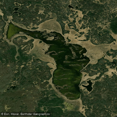
Shoal Lake
- Boat Ramps
- 0
- Access Points
- 0
- Campsites
- 0
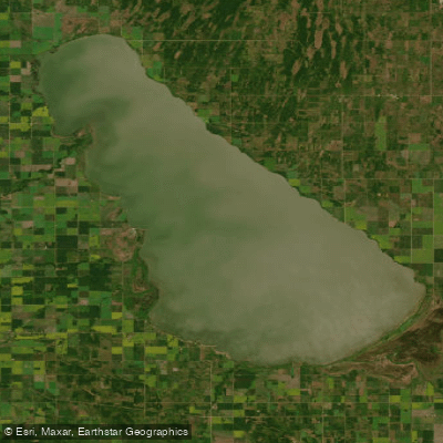
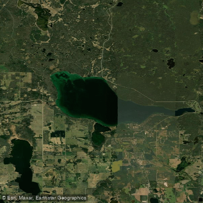
Shoal Lake is a small lake approximately 9 kilometres long, located in western Manitoba about 235 kilometres northwest of Winnipeg via the Yellowhead Route (Trans-Canada Highway 16), or roughly 130 kilometres north of Brandon. Access to the lake is via PTH 21, turning 2 kilometres west on a gravel road approximately 5 kilometres south of the Town of Shoal Lake.
The primary access point for paddlers is at Lakeview Park, situated at the north end of the lake near the town centre. The park includes a boat launch, making it a straightforward put-in location. Lakeview Park is open from May through September 30 and offers amenities including a beach, modern washroom and shower facilities, a marina, and landscaped walking paths. A dumping station and both electric and unserviced RV sites are available for those camping overnight.
The lake is used for a range of watercraft recreation, including boating and water-skiing, so paddlers should be aware of motorized boat traffic, particularly during summer weekends. The lake's modest 9-kilometre length makes it manageable for a day trip. Fishing for walleye and northern pike is popular on the lake, and two aeration systems are maintained to support fish populations year-round.
During winter, ice fishing is common on the lake, and conditions at the boat launch area can be variable in early winter, with pockets of open water or thin ice reported near the launch even after freeze-up begins. This is relevant context for paddlers considering shoulder-season use, as freeze and thaw conditions can affect safe access.
The town of Shoal Lake, approximately 5 kilometres from the lake's eastern shore subdivision, provides local services including a hospital, hardware stores, and RCMP detachment. A public 9-hole golf course is located nearby. The lake sits within the Parkland Tourism region of Manitoba.
Water access, boat ramps & amenities
Learn how to get on Shoal Lake. Uncover great paddling access points, boat ramps, and all the facilities you need for an unforgettable day on the water. Some locations shown may border or include private property. Always check property boundaries and applicable regulations before visiting. PaddleWays's Public & Private Land layer can help you plan your access with confidence.
Paddle smarter with real-time insights
Whether you're en route and conditions shift or you're looking for the best spot based on current flows, we enable you to make informed decisions on the fly.







Mb licenses and regulations
No licenses or regulations available for Mb.
Find Places to Paddle

Over 400,000 Places to Paddle
Every user gets free access to launch points, boat ramps, and public property parcels.


Water and weather conditions (10 day forecast)
See the best times to paddle Shoal Lake and check the forecast before you go.
No forecast data available.
Paddling near Shoal Lake
Explore Mb waters
Top paddling waters
No waters available right now.
Popular Cities
Loading popular cities...
Explore near Shoal Lake

Smarter Paddling Starts in the App.
Paddleways gives you everything you need to plan smarter, paddle better, and own every trip from first launch to takeout.