Kedgwick River
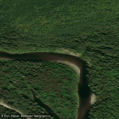
Kedgwick River
- Boat Ramps
- 0
- Access Points
- 0
- Campsites
- 0
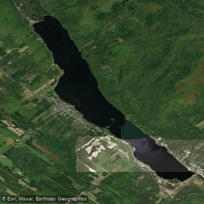
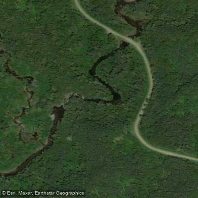
The Kedgwick River is an 80.8 km tributary rising in the Notre Dame Mountains of Quebec that flows southeast through dense boreal forest before joining the Restigouche River in northwestern New Brunswick. The river is commonly paddled as part of a multi-day route that continues onto the Restigouche, with the combined distance covering roughly 150 km of moving water over four to five days.
The Kedgwick is characterized by strong current, clear water, and relatively straightforward paddling. The current has been clocked at approximately 8 km/h without paddling. Whitewater is limited to Class 1 rapids with a couple of borderline Class 2 sections, making the river accessible to novice paddlers while still offering enough flow to keep experienced paddlers engaged. At lower water levels around 0.8 metres, paddlers can expect to walk some sections even on the best lines, though the water clarity at that level is notable. At 1.0 metres, the river is considered an easy, steady flow suitable for beginners.
Free campsites maintained by the Department of Natural Resources are spaced along the river, complete with privies and, at some locations, covered gazebos. Camping is first-come, first-served with no reservation required, and the sites are described as large. One notable stop is the Falls Brook campsite, where a short trail leads to a waterfall; when water levels are sufficient, it is possible to paddle Falls Brook itself from the base of the falls back to the main river. Elsewhere along the route, a lookout platform sits high above the river valley, accessible via a steep bushwhack of 120 to 150 metres from the water.
The river flows through boreal forest with steep banks in places, particularly on the left shore in certain sections. The Kedgwick is also a well-regarded Atlantic salmon river, which contributes to its clear water and relatively undeveloped character. Shuttle services are available in the area, and outfitters near the put-in can assist with logistics. Access to the river is via Route 265 from the town of Kedgwick. Real-time water levels can be monitored through the Government of Canada hydrometric station for the Restigouche River below the Kedgwick River gauge (station 01BC001). Fall and spring are noted as particularly quiet times on the river, with autumn foliage adding to the visual character of the trip.
Water access, boat ramps & amenities
Learn how to get on Kedgwick River. Uncover great paddling access points, boat ramps, and all the facilities you need for an unforgettable day on the water. Some locations shown may border or include private property. Always check property boundaries and applicable regulations before visiting. PaddleWays's Public & Private Land layer can help you plan your access with confidence.
Paddle smarter with real-time insights
Whether you're en route and conditions shift or you're looking for the best spot based on current flows, we enable you to make informed decisions on the fly.







Nb licenses and regulations
No licenses or regulations available for Nb.
Find Places to Paddle

Over 400,000 Places to Paddle
Every user gets free access to launch points, boat ramps, and public property parcels.


Water and weather conditions (10 day forecast)
See the best times to paddle Kedgwick River and check the forecast before you go.
No forecast data available.
Paddling near Kedgwick River
Explore Nb waters
Top paddling waters
No waters available right now.
Popular Cities
Loading popular cities...
Explore near Kedgwick River

Smarter Paddling Starts in the App.
Paddleways gives you everything you need to plan smarter, paddle better, and own every trip from first launch to takeout.