Restigouche River
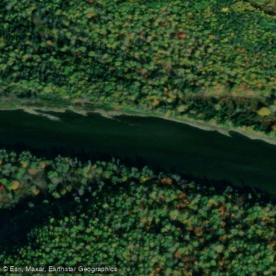
Restigouche River
- Boat Ramps
- 0
- Access Points
- 0
- Campsites
- 1
The Restigouche River is a Canadian Heritage River flowing through the northern reaches of New Brunswick, running through the heart of the Appalachian Range along the border between New Brunswick and Quebec. The river is internationally recognized for its Atlantic salmon runs, with between 15,000 and 25,000 fish entering the system each year, which means paddlers will share the water with guided angling operations and motorboat traffic from salmon fishing lodges, particularly in the lower sections.
The most popular paddling route combines the Kedgwick River with the Restigouche, typically run over three to four days. The standard put-in is at the confluence of the Kedgwick River, and the take-out is river right just above Tide Head, approximately one to two kilometres below the confluence with the Upsalquitch River. Below Tide Head, the current fades quickly and tidal influence begins; the Restigouche estuary stretches 25 kilometres eastward from Tide Head to Dalhousie on Chaleur Bay. The river flows at roughly 8 kilometres per hour without paddling, making upstream travel difficult if a campsite is missed.
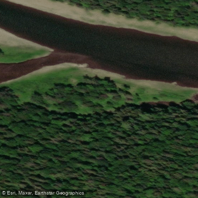
The paddling character is generally novice-friendly. The river is shallow, clear, and relatively fast-moving, with mostly Class 1 water and a few borderline Class 2 rapids. There are no portages required on the main route. One notable feature is a stretch of large standing waves extending roughly 100 metres where the river narrows, a good observation point for watching traditional Restigouche canoes — oversized wood-and-canvas craft up to 8.5 metres in length and weighing over 250 pounds — being powered upstream by river guides. Where the Kedgwick joins the Restigouche, the river widens noticeably and carries significantly more volume.
Free, well-maintained campsites with outdoor privies and picnic tables are spaced along the river, with at least one featuring a covered shelter. Camping is first-come, first-served with no reservations required, and sites are described as large. Outfitters including GP Canoe Adventure and Chalets Restigouche offer canoe rentals and shuttle services. A detailed river map showing every camp, riffle, pool, and island is available for purchase and is recommended for first-time paddlers on this route. Shorter SUP and paddleboard trips of 10 to 24 kilometres are also offered commercially on the lower sections of the river.
Water access, boat ramps & amenities
Learn how to get on Restigouche River. Uncover great paddling access points, boat ramps, and all the facilities you need for an unforgettable day on the water. Some locations shown may border or include private property. Always check property boundaries and applicable regulations before visiting. PaddleWays's Public & Private Land layer can help you plan your access with confidence.
Paddle smarter with real-time insights
Whether you're en route and conditions shift or you're looking for the best spot based on current flows, we enable you to make informed decisions on the fly.







Nb licenses and regulations
No licenses or regulations available for Nb.
Find Places to Paddle

Over 400,000 Places to Paddle
Every user gets free access to launch points, boat ramps, and public property parcels.


Water and weather conditions (10 day forecast)
See the best times to paddle Restigouche River and check the forecast before you go.
RESTIGOUCHE RIVER BELOW KEDGWICK RIVER
All Flow Stations
Paddling near Restigouche River
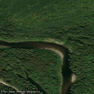
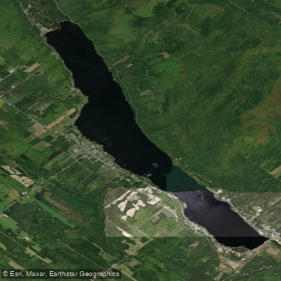
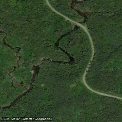
Explore Nb waters
Top paddling waters
No waters available right now.
Popular Cities
Loading popular cities...
Explore near Restigouche River

Smarter Paddling Starts in the App.
Paddleways gives you everything you need to plan smarter, paddle better, and own every trip from first launch to takeout.