South Branch Kedgwick River
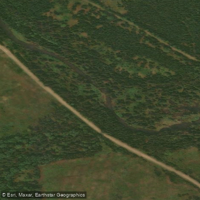
South Branch Kedgwick River
- Boat Ramps
- 0
- Access Points
- 0
- Campsites
- 1
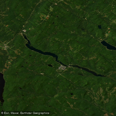
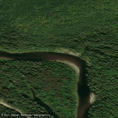
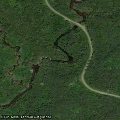
The South Branch Kedgwick River is a tributary that flows through the Restigouche region of northern New Brunswick, joining the North Branch at a confluence known as Kedgwick Forks. The river rises in the Notre Dame Mountains area and drains through dense boreal forest dominated by spruce and fir. The combined Kedgwick River, formed at the forks, runs approximately 80.8 km southeast before meeting the Restigouche River.
The South Branch upstream of Camp 28 is considered more technically demanding, with Class 2 and Class 3 rapids in addition to general whitewater and Class 1 sections. This upper portion is recommended only for experienced canoeists and only when water levels are high. Below Camp 28 and from Kedgwick Forks onward, the character of the river becomes more accessible, with a steady current, numerous rips, and only moderate whitewater. The most notable feature on the main Kedgwick below the forks is a Class 2 to Class 2+ rock garden stretching roughly 500 metres.
A common multi-day route begins at Kedgwick Forks and continues downstream on the Kedgwick River to the Restigouche, covering roughly 150 km over approximately five days with no portages required. Nature Aventure offers guided four- and five-day trips on this corridor. The banks along the river are steep in places, particularly on the left-hand shore in certain sections, and at least one lookout platform is visible high above the river, accessible by a steep bushwhack involving a 120- to 150-metre elevation gain. A small campsite on river right, bisected by a brook, provides one overnight option along the route.
Logging roads run close to both banks along much of the Kedgwick corridor. Atlantic salmon fishing is a significant activity on the river, and paddlers should expect to encounter anglers, particularly fly fishers. The Kedgwick Salmon Club holds leased fishing sections on the river and enforces a strict live-release policy for all salmon and grilse. Paddlers sharing the water with anglers should be aware of this fishing culture and the associated regulations that govern the river.
Water access, boat ramps & amenities
Learn how to get on South Branch Kedgwick River. Uncover great paddling access points, boat ramps, and all the facilities you need for an unforgettable day on the water. Some locations shown may border or include private property. Always check property boundaries and applicable regulations before visiting. PaddleWays's Public & Private Land layer can help you plan your access with confidence.
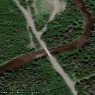
Paddle smarter with real-time insights
Whether you're en route and conditions shift or you're looking for the best spot based on current flows, we enable you to make informed decisions on the fly.







Nb licenses and regulations
No licenses or regulations available for Nb.
Find Places to Paddle

Over 400,000 Places to Paddle
Every user gets free access to launch points, boat ramps, and public property parcels.


Water and weather conditions (10 day forecast)
See the best times to paddle South Branch Kedgwick River and check the forecast before you go.
No forecast data available.
Paddling near South Branch Kedgwick River
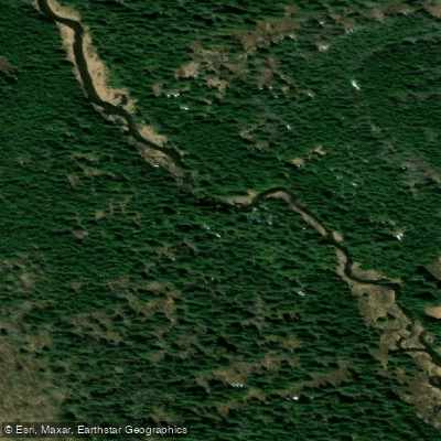
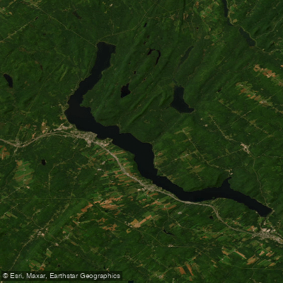
Explore Nb waters
Top paddling waters
No waters available right now.
Popular Cities
Loading popular cities...
Explore near South Branch Kedgwick River
Access points
Nearby waters
More in Nb

Smarter Paddling Starts in the App.
Paddleways gives you everything you need to plan smarter, paddle better, and own every trip from first launch to takeout.