Kennebecasis River
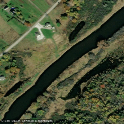
Kennebecasis River
- Boat Ramps
- 0
- Access Points
- 0
- Campsites
- 2
The Kennebecasis River is a 95-kilometre tributary of the Saint John River in southern New Brunswick, Canada. Its name derives from the Mi'kmaq "Kenepekachiachk," meaning "little long bay place." The river originates in the foothills of Albert County near Goshen, flows southwest through Penobsquis and Sussex, and ultimately joins the Saint John River at Millidgeville. It drains a watershed of approximately 1,346 square kilometres, encompassing portions of the Caledonia Highlands, an extension of the Appalachian Mountains.
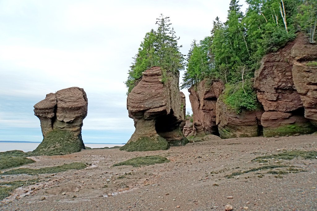
The lower reaches of the river, between Sussex and its confluence with the Saint John, pass through a well-defined river valley. This section includes notable features such as Minister's Face on Long Island near Fairvale, a geological formation visible from the water, with hiking access to the top for views across the Kennebecasis Valley. The Brothers Cove and Tucker Park area near the lower river is characterized by Devonian-age rock formations and some of the deepest waters in the system, which has been described as an underwater fjord. Wildlife commonly observed along the river includes bald eagles, loons, cormorants, and white-tailed deer, including piebald individuals. Atlantic sturgeon, salmon, striped bass, shad, smallmouth bass, and brook trout are present in the watershed, and harbour seals are occasionally seen in the lower reaches.
Access points include Fairvale on the Kennebecasis River and areas around Darlings Island, where the Hammond River joins the main stem. The river is accessible year-round, with spring (April and May) offering views of flooded floodplains, summer providing calmer paddling conditions, and early fall notable for foliage colour. Water conditions on the main Kennebecasis can be choppier than on tributary streams such as the Hammond River.
Fishing regulations on the main stem include a fly-fishing-only rule after July 1st and a catch-and-release, fly-fishing-only section in effect throughout the trout season from April 15 to September 15. Paddlers should be aware that the river corridor also hosts Route 1 and the Canadian National Railway line between Sussex and Saint John. Rental equipment and guided tours are available through several outfitters in the Saint John region, and Paddle Canada instruction is available locally for both canoe and kayak paddlers.
Water access, boat ramps & amenities
Learn how to get on Kennebecasis River. Uncover great paddling access points, boat ramps, and all the facilities you need for an unforgettable day on the water. Some locations shown may border or include private property. Always check property boundaries and applicable regulations before visiting. PaddleWays's Public & Private Land layer can help you plan your access with confidence.
Paddle smarter with real-time insights
Whether you're en route and conditions shift or you're looking for the best spot based on current flows, we enable you to make informed decisions on the fly.







Nb licenses and regulations
No licenses or regulations available for Nb.
Find Places to Paddle

Over 400,000 Places to Paddle
Every user gets free access to launch points, boat ramps, and public property parcels.


Water and weather conditions (10 day forecast)
See the best times to paddle Kennebecasis River and check the forecast before you go.
KENNEBECASIS RIVER AT APOHAQUI
Paddling near Kennebecasis River
Explore Nb waters
Top paddling waters
No waters available right now.
Popular Cities
Loading popular cities...
Explore near Kennebecasis River

Smarter Paddling Starts in the App.
Paddleways gives you everything you need to plan smarter, paddle better, and own every trip from first launch to takeout.