Nashwaak River
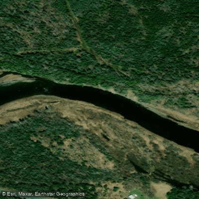
Nashwaak River
- Boat Ramps
- 1
- Access Points
- 0
- Campsites
- 2
The Nashwaak River is a tributary of the Saint John (Wolastoq) River, entering it just below Fredericton, New Brunswick. It flows through rolling hills and forested landscapes, offering a mix of calm flatwater and whitewater sections that accommodate a range of paddler skill levels. The lower river, from the Marysville area to the confluence with the Saint John, is generally calm and well-suited to beginners and families. Further upriver, a rocky set of Class II rapids at a former dam site begins approximately 750 metres upriver from the Marysville Bridge, making those sections more appropriate for intermediate or advanced paddlers.
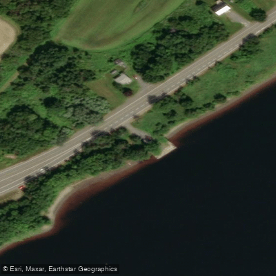
All routes on the Nashwaak are point-to-point due to the swift current, so a vehicle shuttle or drop-off arrangement is necessary. A common intermediate route launches from the former Penniac Bridge (550 River St.) for a 4.5 km paddle to the Marysville Heritage Centre, or from the River Road Bridge for a total of 7.5 km. Paddlers can extend the trip an additional 5 km by continuing out to the Saint John River and taking out at Carleton Park. For the upper river, access points include a boat launch just below the bridge in Nashwaak Bridge (off Route 107), which is on private ground but regularly used by locals, and a drop-off point at the church in Taymouth. Access at the upper end is limited and none of the upper put-ins are ideal for leaving an unattended vehicle, so a shuttle driver is strongly recommended.
The Marysville Heritage Centre provides a formal boat launch and serves as both a take-out and a starting point for the lower, family-friendly section. The Penniac boat launch is designated for experienced paddlers heading into the Class II section. Water levels can affect navigability, particularly in the stretch near the Heritage Centre and at the upper end of the first island, where low water may require paddlers to exit their boats.
Wildlife sightings along the river are frequent and include Great Blue Herons, Bald Eagles, Kingfishers, ducks, geese, and beavers. Deer have also been observed along the upper channels. The river passes through largely undeveloped, forested terrain, though the lower section runs through the urban Marysville and Fredericton area, where amenities such as cafes and restaurants are accessible near the take-out points.
Water access, boat ramps & amenities
Learn how to get on Nashwaak River. Uncover great paddling access points, boat ramps, and all the facilities you need for an unforgettable day on the water. Some locations shown may border or include private property. Always check property boundaries and applicable regulations before visiting. PaddleWays's Public & Private Land layer can help you plan your access with confidence.
Paddle smarter with real-time insights
Whether you're en route and conditions shift or you're looking for the best spot based on current flows, we enable you to make informed decisions on the fly.







Nb licenses and regulations
No licenses or regulations available for Nb.
Find Places to Paddle

Over 400,000 Places to Paddle
Every user gets free access to launch points, boat ramps, and public property parcels.


Water and weather conditions (10 day forecast)
See the best times to paddle Nashwaak River and check the forecast before you go.
NASHWAAK RIVER AT DURHAM BRIDGE
All Flow Stations
Paddling near Nashwaak River
Explore Nb waters
Top paddling waters
No waters available right now.
Popular Cities
Loading popular cities...
Explore near Nashwaak River

Smarter Paddling Starts in the App.
Paddleways gives you everything you need to plan smarter, paddle better, and own every trip from first launch to takeout.