Pocologan River
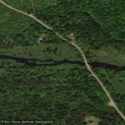
Pocologan River
- Boat Ramps
- 0
- Access Points
- 0
- Campsites
- 0
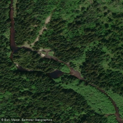
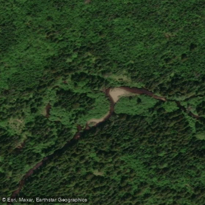
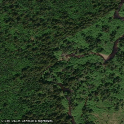
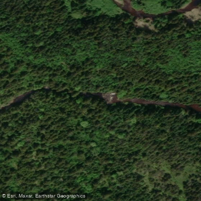
The Pocologan River originates at Pocologan Lake in southeastern Charlotte County, New Brunswick, and flows southward approximately 16 miles before emptying into Maces Bay at Pocologan on the Bay of Fundy. The drainage area covers roughly 22 square miles of woodland and blueberry barrens, with a mean annual precipitation of around 49 inches. A tributary, the Little Pocologan River, joins the main stem a few miles above the mouth.
One documented paddling route begins at Red Rock Lake, portaging through Sparkes Lake and Clear Lake before crossing overland to Porcupine Lake, which connects to the upper Pocologan. From Porcupine Lake, paddlers have traveled approximately 15 kilometers to a takeout near the 780 road crossing. Below that point, roughly 11 to 12 additional kilometers remain before reaching the Bay of Fundy, where the river becomes tidal and potentially brackish.
The upper river is demanding and should not be underestimated. Paddlers who ran the river in May 2011 reported extremely difficult conditions, including heavily overgrown banks requiring frequent portaging through dense bush, and rapids running at low water that necessitated lining rather than paddling. Several drops of four feet or more were encountered within a single 100-meter rapid. The group covered only 9 kilometers in 6 hours on the most challenging day. The lower section from the 780 crossing to the bay is described as having little elevation drop and is considered more manageable at medium water levels.
The river appears to see very little paddling traffic, and the 2011 party noted that no one appeared to have paddled the upper section in many years. There are no documented facilities or established amenities for paddlers along the route. The river supports Atlantic salmon from the head of tide up to Pocologan Station, and brook trout are present throughout. A feature called Keyhole Falls, located about one mile above Little Pocologan, is the largest drop on the river and can act as a partial barrier to salmon during low water. The surrounding landscape is composed of woodland and blueberry barrens typical of the region.
Given the documented difficulty of the upper river at low water, paddlers considering this route should plan for high water conditions and be prepared for significant bushwhacking and lining.
Water access, boat ramps & amenities
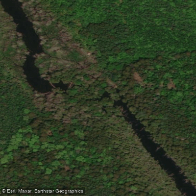
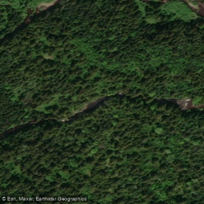
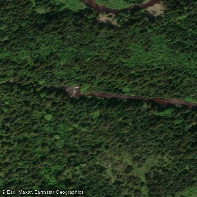
Learn how to get on Pocologan River. Uncover great paddling access points, boat ramps, and all the facilities you need for an unforgettable day on the water. Some locations shown may border or include private property. Always check property boundaries and applicable regulations before visiting. PaddleWays's Public & Private Land layer can help you plan your access with confidence.
Paddle smarter with real-time insights
Whether you're en route and conditions shift or you're looking for the best spot based on current flows, we enable you to make informed decisions on the fly.







Nb licenses and regulations
No licenses or regulations available for Nb.
Find Places to Paddle

Over 400,000 Places to Paddle
Every user gets free access to launch points, boat ramps, and public property parcels.


Water and weather conditions (10 day forecast)
See the best times to paddle Pocologan River and check the forecast before you go.
No forecast data available.
Paddling near Pocologan River
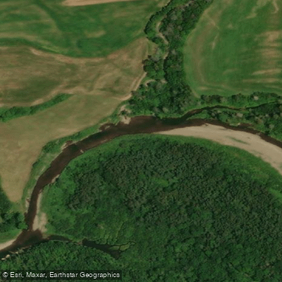
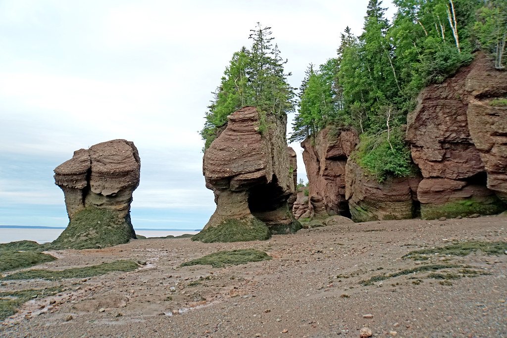
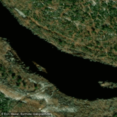
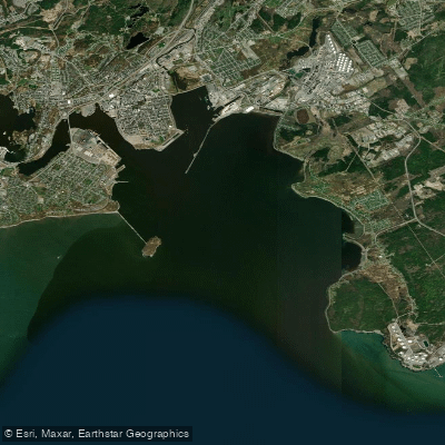
Explore Nb waters
Top paddling waters
No waters available right now.
Popular Cities
Loading popular cities...
Explore near Pocologan River

Smarter Paddling Starts in the App.
Paddleways gives you everything you need to plan smarter, paddle better, and own every trip from first launch to takeout.