Deer Lake
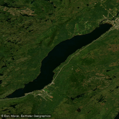
Deer Lake
- Boat Ramps
- 0
- Access Points
- 0
- Campsites
- 2
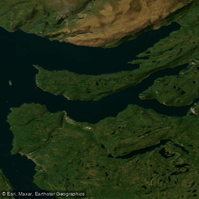
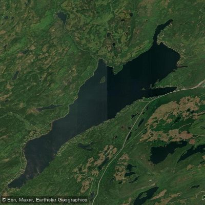
Deer Lake is a substantial body of water approximately 19 km in length, situated in the Humber Valley of western Newfoundland near the town of the same name. It forms a key segment of the longer Humber River canoe corridor, connecting upstream river travel from Sir Richard Squires Memorial Park with the scenic valley run down to Corner Brook and Humber Arm.
Wind is the primary consideration for paddlers on Deer Lake. Headwinds can be strong enough to keep canoeists completely landlocked, and the lake's length and exposure mean conditions can deteriorate quickly. With favourable winds, the 19 km crossing to Boom Siding takes roughly four hours. Paddlers should plan conservatively and be prepared to wait out adverse conditions before committing to the open water.
The town of Deer Lake functions as both a put-in and take-out point, making it a practical staging area for multi-day trips. A boat launch is located on Riverbank Road with an adjacent parking lot and no launch fee. Deer Lake Beach, situated on Nicholsville Road and open from June 1 through October 1, offers kayak and stand-up paddleboard rentals, a restaurant, accessible facilities including a water mobility chair, and accessible picnic tables. The beach is described as having shallow, clear water and a sandy shoreline.
For paddlers continuing downstream, the section from Deer Lake to Corner Brook passes through a steep, scenic valley considered the most impressive relief on the Humber River corridor. This stretch is navigable for novice canoeists, with one short section of rapids at Shelborn Island. Upstream, the lake can also be accessed via the Humber Canal from Grand Lake. The lake and surrounding waters support trout and salmon fisheries, which may be relevant for trip planning given the presence of fishing boat traffic.
Water access, boat ramps & amenities
Learn how to get on Deer Lake. Uncover great paddling access points, boat ramps, and all the facilities you need for an unforgettable day on the water. Some locations shown may border or include private property. Always check property boundaries and applicable regulations before visiting. PaddleWays's Public & Private Land layer can help you plan your access with confidence.
Paddle smarter with real-time insights
Whether you're en route and conditions shift or you're looking for the best spot based on current flows, we enable you to make informed decisions on the fly.







Nl licenses and regulations
No licenses or regulations available for Nl.
Find Places to Paddle

Over 400,000 Places to Paddle
Every user gets free access to launch points, boat ramps, and public property parcels.


Water and weather conditions (10 day forecast)
See the best times to paddle Deer Lake and check the forecast before you go.
DEER LAKE NEAR GENERATING STATION
Explore Nl waters
Top paddling waters
No waters available right now.
Popular Cities
Loading popular cities...
Explore near Deer Lake

Smarter Paddling Starts in the App.
Paddleways gives you everything you need to plan smarter, paddle better, and own every trip from first launch to takeout.