Upper Humber River
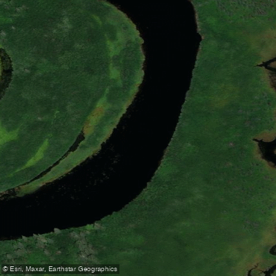
Upper Humber River
- Boat Ramps
- 0
- Access Points
- 0
- Campsites
- 1
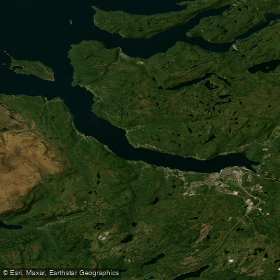
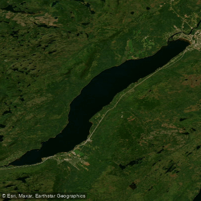
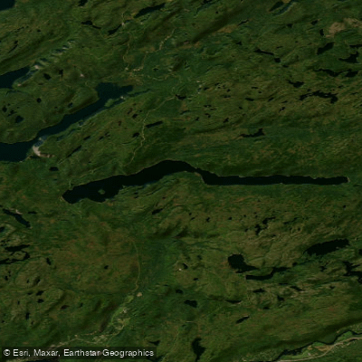
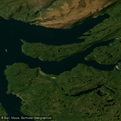
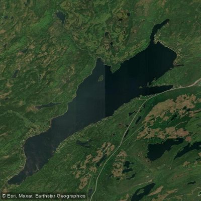
The Upper Humber River in Newfoundland and Labrador is a wilderness paddling route on the island's western side, accessible from the Deer Lake area. The river drains through a landscape of open barren lands in the upper watershed, transitioning to dense spruce and white birch forest along the river valley, with thick alders lining much of the bank. Pitcher plant, kalmia, crackerberry, and rhododendron add colour further downstream.
There are two primary route options depending on skill level. The upper section, running from Silver Mountain Pond (which has road access) to Birchy Basin, is a demanding stretch of serious whitewater with two mandatory portages. The Parks Canada survey describes the reach below Burnt Hill Pond as 23 km of rough water with an irregular gradient of approximately 16 m/km — a clear indicator of the difficulty involved. Five hundred metres below Burnt Hill Pond lies a stretch of unnavigable whitewater requiring an 11 km portage along a logging road on the left bank, ending below an island in the channel. Below that island, the river is either runnable or lineable around more hazardous rapids as far as Main Falls. This upper section is considered challenging and is best suited to experienced paddlers.
A more accessible route runs from the Adie's Lake area, putting in at the second bridge at Deadwater Brook off Route 422 near Cormack. This 60 km out-and-back trip through Class 1–2 rapids and slower moving steadies is considered one of the better routes on the island for paddlers new to whitewater seeking a true wilderness experience. Bear Reef, the last significant rapid before the take-out at Big Falls, is rated Class 3 but features a sneak route that avoids a lengthy portage. The trip typically takes around 28 hours of paddling time and is most commonly run in spring.
Logging roads provide access at multiple points along the river, which is useful for planning egress or shortening a trip. The headwaters are also reachable by floatplane chartered from Deer Lake. The river supports Atlantic salmon, and fishing is a common companion activity on multi-day trips. The combination of remote wilderness character, varied whitewater, and the logistical challenge of portaging through dense alder makes this a physically demanding route that rewards preparation.
Water access, boat ramps & amenities
Learn how to get on Upper Humber River. Uncover great paddling access points, boat ramps, and all the facilities you need for an unforgettable day on the water. Some locations shown may border or include private property. Always check property boundaries and applicable regulations before visiting. PaddleWays's Public & Private Land layer can help you plan your access with confidence.
Paddle smarter with real-time insights
Whether you're en route and conditions shift or you're looking for the best spot based on current flows, we enable you to make informed decisions on the fly.







Nl licenses and regulations
No licenses or regulations available for Nl.
Find Places to Paddle

Over 400,000 Places to Paddle
Every user gets free access to launch points, boat ramps, and public property parcels.


Water and weather conditions (10 day forecast)
See the best times to paddle Upper Humber River and check the forecast before you go.
UPPER HUMBER RIVER NEAR REIDVILLE
All Flow Stations
Explore Nl waters
Top paddling waters
No waters available right now.
Popular Cities
Loading popular cities...
Explore near Upper Humber River

Smarter Paddling Starts in the App.
Paddleways gives you everything you need to plan smarter, paddle better, and own every trip from first launch to takeout.