Grand Lake
Grand Lake
- Boat Ramps
- 0
- Access Points
- 0
- Campsites
- 0
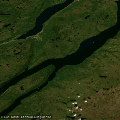
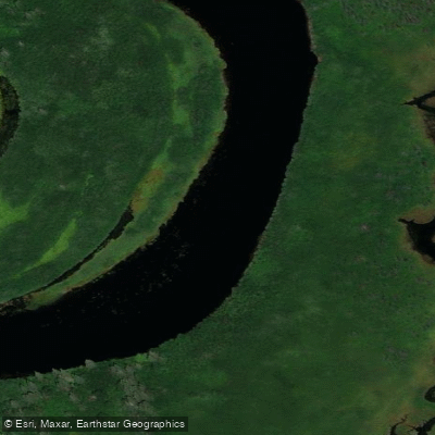
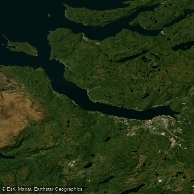
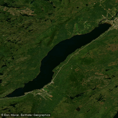
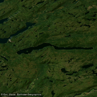
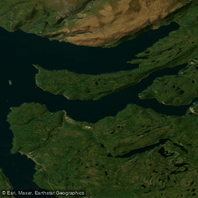
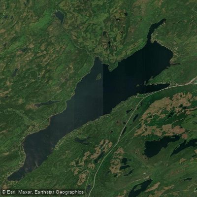
Grand Lake is the largest inland lake on the island of Newfoundland, located in west-central Newfoundland approximately 24 km southeast of Corner Brook. It occupies a northeast-trending, fault-controlled valley as part of the Humber River watershed, with a surface area of 534 km² and a length of 135 km. The lake's current form dates to 1924–1925, when the construction of the Main Dam on Junction Brook raised water levels by approximately 11 meters, expanding the original glacial basin. Grand Lake connects to Sandy Lake and Birchy Lake, forming a continuous waterway that can extend a multi-day route to well over 150 km in total.
Despite being freshwater, Grand Lake should be treated with the same respect as the ocean. It is considered suitable for advanced paddlers only, particularly those undertaking multi-day trips. The lake's scale and exposure mean conditions can become serious, and paddlers should plan accordingly.
The rocky shoreline is rimmed with forest and towering cliffs, and numerous inflowing streams support populations of trout and landlocked salmon. Wildlife is abundant throughout the surrounding terrain, which includes forested areas interspersed with swamp and wetlands. The area supports a population of the American marten, and a reserve has been established near the south end of the lake — the Little Grand Lake Provisional Ecological Reserve — which extends along the eastern shoreline. Within the reserve, small boats, canoes, and kayaks can be launched from shore. The 44,000-acre Glover Island, located within the lake, is also a reserve and is uninhabited.
Public boat launches are available near the southeastern end of the lake. Common access points referenced in route descriptions include the junction of Highway 1 and Route 402, with put-in options at the southwest end near Grand Lake Brook. The multi-lake route continues past Howley, through Sandy Lake, Seal Bay, and into Birchy Lake. Salmon angling on the lake is subject to provincial regulations, with retention strictly regulated and angling on non-scheduled waters limited to catch-and-release, with seasonal openings typically running on weekends from mid-June to early September.
Paddle trips along the shoreline are noted as popular with photographers given the rugged terrain and cliff scenery. The waterway sees relatively little motorized boat traffic, with larger vessels primarily associated with lodge guests on feeder lakes.
Water access, boat ramps & amenities
Learn how to get on Grand Lake. Uncover great paddling access points, boat ramps, and all the facilities you need for an unforgettable day on the water. Some locations shown may border or include private property. Always check property boundaries and applicable regulations before visiting. PaddleWays's Public & Private Land layer can help you plan your access with confidence.
Paddle smarter with real-time insights
Whether you're en route and conditions shift or you're looking for the best spot based on current flows, we enable you to make informed decisions on the fly.







Nl licenses and regulations
No licenses or regulations available for Nl.
Find Places to Paddle

Over 400,000 Places to Paddle
Every user gets free access to launch points, boat ramps, and public property parcels.


Water and weather conditions (10 day forecast)
See the best times to paddle Grand Lake and check the forecast before you go.
GRAND LAKE EAST OF GRAND LAKE BROOK
Explore Nl waters
Top paddling waters
No waters available right now.
Popular Cities
Loading popular cities...
Explore near Grand Lake

Smarter Paddling Starts in the App.
Paddleways gives you everything you need to plan smarter, paddle better, and own every trip from first launch to takeout.